

HALO-20240909a#
ec_under ec_track c_north c_mid c_southCrew#
Silke Groß, Konstantin Krüger, Christian Heske, Theresa Mieslinger, Michael Schäfer, Lea Volkmer, Chavez Pope, Karsten PetersTrack#
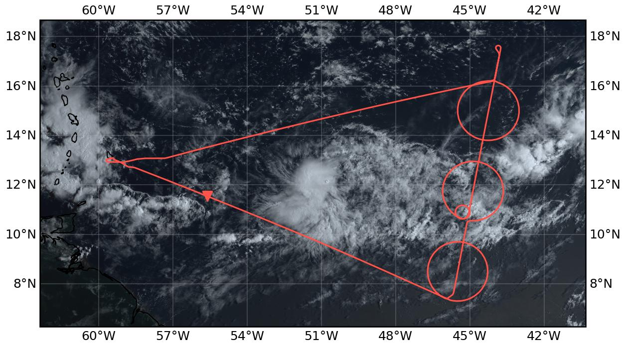
Flight path superimposed on the natural color image from NOAA’s Geostationary Operational Environmental Satellites (GOES) 16 satellite on September 9, 2024 at 12:20 UTC. The location of the aircraft at the time of the satellite image is highlighted.
Conditions#
The ITCZ was forecast to be very broad, which was reflected in the flight plan, and which verified in the flight data. Acorss the entire transect we did not see values of integrated water vapor below 47 kg/m^2. Mostly the widening was evident on the northern edge, which moistened in this region relative to past days, with the southern edge also seeming to shift northward slightly over the forecast period. Convection concentrated in the center circle of the wide moist band, and most of the measurements in this region were slightly above a large expanse of very deep cirrus clouds. This stratiform layer extended over a depth of approximately 8 km in the radar data, from flight level at about 14 km, down to the melting level at 4 km. In the north there were scattered deeper developing clusters, but not to the extent initially anticipated. Around the southern circle there was a mix of clouds, most notable were heas of wind aligned convective bands with tops estimated around 4 km extending to the SE along the SE side of the circle. Between the center and southern circle there were layers of very thin cirrus with virga, and throughout the ITCZ stratiform clouds, convection, and cirrus could be found at all conceivable levels.
Location of the ITCZ far north with isolated convective systems in between. The strong convective system we followed already over the last days was located just to the east of the flight track. Forecasts of the development of the system were very uncertain the last days. The situation on the flight track was characterized by cloudy conditions in the northern part of the flight and by clearer conditions with shallow cloud structures in the northern part of the flight. Convective systems between Barbados and the EarthCARE track and just east of the EarthCARE track partly influenced the conditions on our track.
Execution#
The flight started almost as planned at 11:40 UTC with a long transfer towards the southern entry point of southern circle. Shortly after takeoff, convection on the flight track that had to be avoided. We entered smoothly the southern circle at the southern entry point and flew the southern circle in ccw direction without any interruptions and left the circle at the southern exit point and flew north along the EarthCARE track to the southern entry point of the mid circle. Flying middle circle in ccw direction. As we were ahead of time an extra smaller circle was flown in the southern part of the middle circle to meet EarthCARE later on at the right time and position. Following the EarthCARE track north and met EarthCARE at 17:02. At the northern point we turned to return to northern entry point of northern circle and followed its track in ccw direction to northern exit point. From there we directly returned to Barbados, but decended to FL410 to get below the cirrus clouds for better remote sensing measurements (except Radar).
Impressions#
13:00 Thick convective system left of the flight path; closed cloud deck just below the aircraft
13:20 Deep convection and cirrus to the left, multi-layer cloud structure below the aircraft
13:48 Enter south circle – multi-layer cloud structure, SMC, stratiform clouds, subvisible cirrus
14:12 northern part of southern circle: deeper convection to the North in the middle of circle south and circle mid
14:17 outflow of deeper convection to the north, cloud tops above flight altitude
15:03 entering outflow region of convective system in the north again, cloud just below the aircraft
15:13 Inhomogeneous cloud situation in inner part of the circle
15:30 outflow of convective system to the north-east, cirrus clouds around and above the aircraft
15:36 complex cloud structure in inner part of the circle, clouds in all heights
16:30 Flying through circle Center; closed cloud deck with cloud top heights around 6-8 km
16:41 less high and mid-level Clouds in northern part of middle circle
16:49 flying inside cirrus cloud, below scattered shallow marine clouds
17:02 cirrus free conditions for EarthCARE match
17:04 cirrus clouds around and above the aircraft again
17:35 Enter northern circle, cirrus clouds and scattered shallow marine clouds below
17:54 Cirrus still around and above the aircraft, scattered shallow marine clouds below
18:02 Entering outflow Region of the System in the south-east with multi-layer cloud structure
18:20 Within thick Cirrus Cloud in the outflow of the convective system to the east
18:24 Cirrus free conditions again (or cirrus above flight level)
19:20 complex cloud structure from convective system south of flight track
19:44 within clouds of convective system to the south
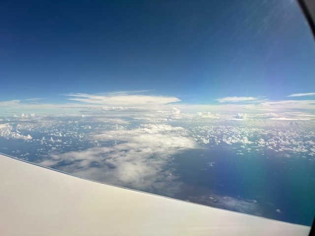
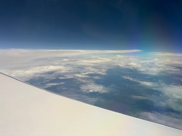
Starting the journey
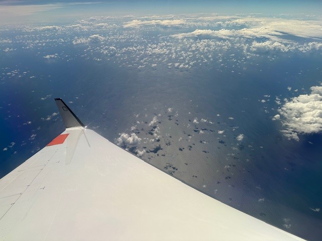
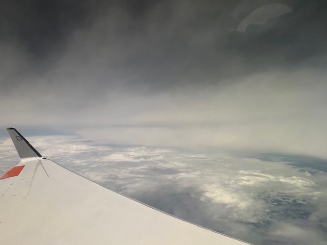
Ocean view within a heavy turn

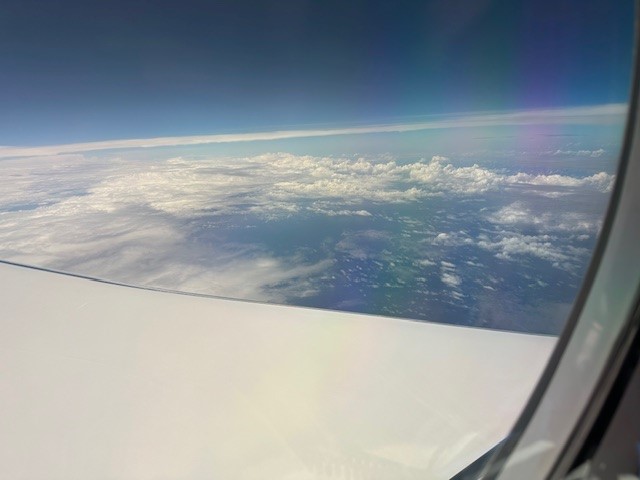
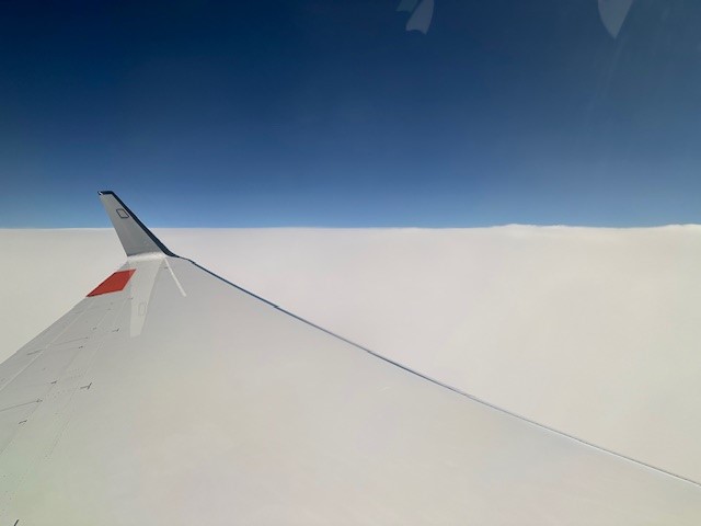
Ending the journey on a good view

The flightcrew after the flight
Between the center and northern circle
In the centre of the middle circle

In the centre of the northern circle
Connvective system in the west
Eastern outflow
Instrument status & quicklooks#
Instrument |
Operational |
Comment |
|---|---|---|
BACARDI |
✅ |
None |
BAHAMAS |
✅ |
No entry |
Dropsondes |
✅ |
No entry |
HAMP |
✅ |
None |
PI-Camera |
✅ |
no entry |
Smart |
✅ |
Fully functional. |
SpecMACS |
✅ |
Some icing on side windows. |
VELOX |
✅ |
Fully functional. |
WALES |
✅ |
None |
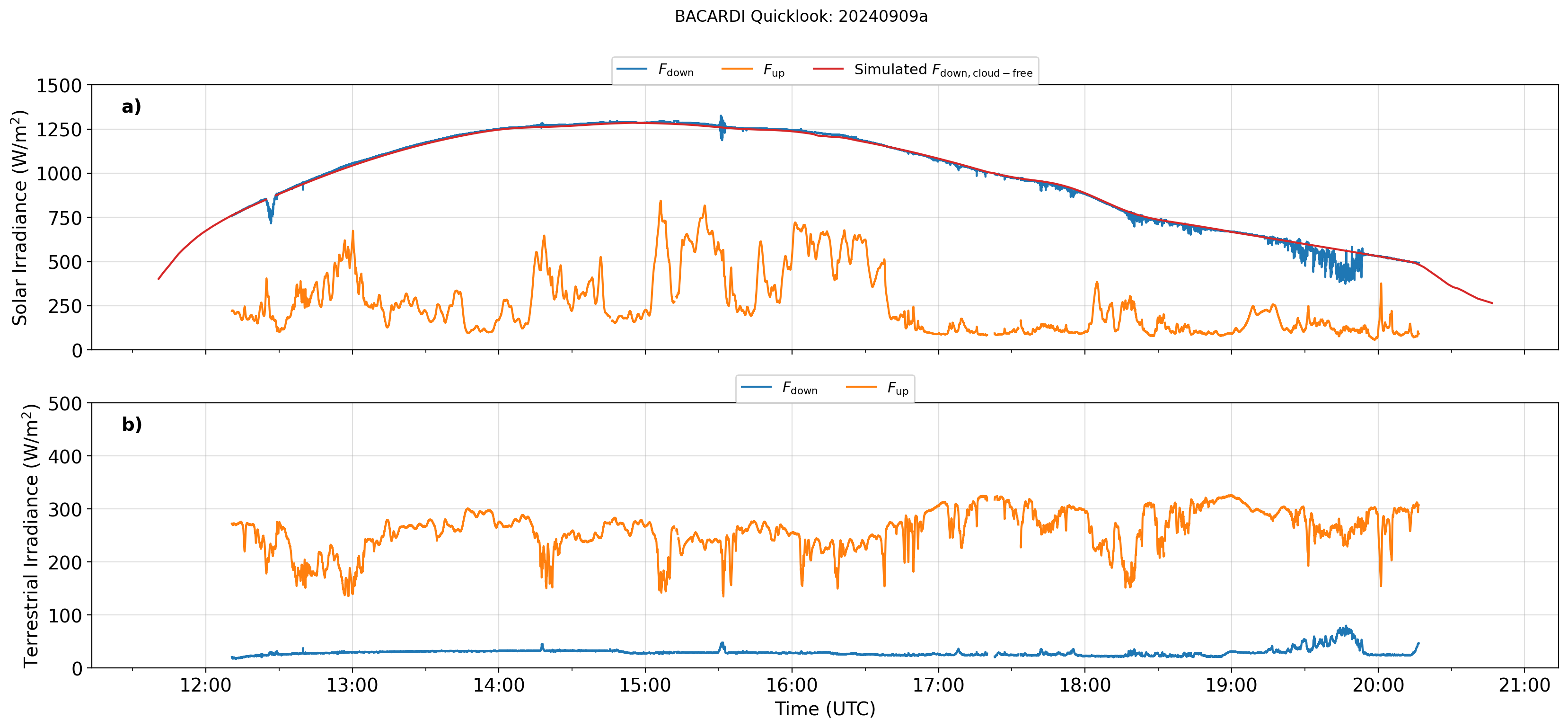
BACARDI
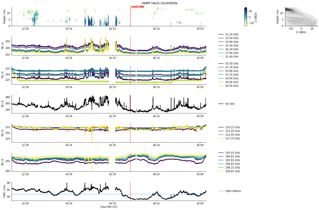
HAMP
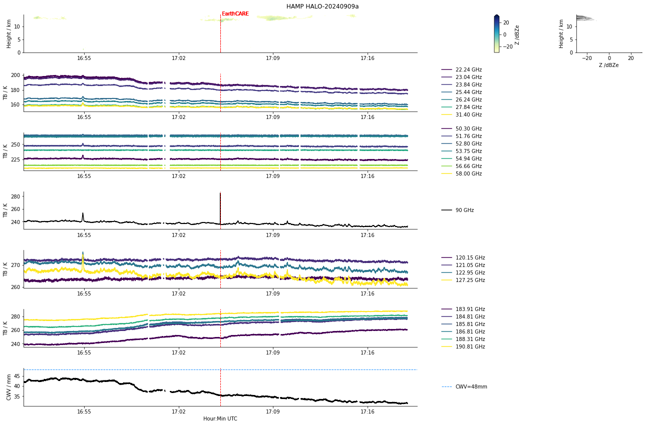
HAMP during EarthCARE underpass
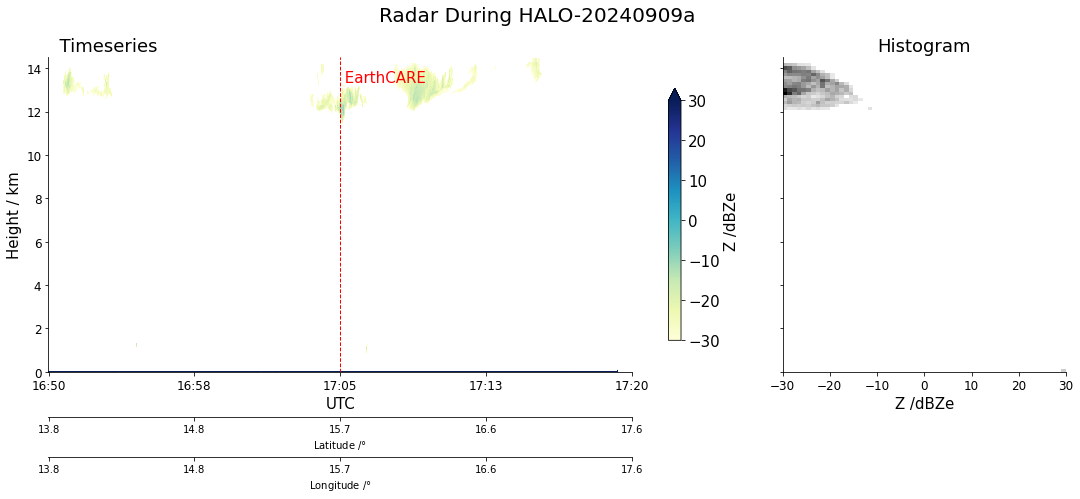
Radar during EarthCARE underpass
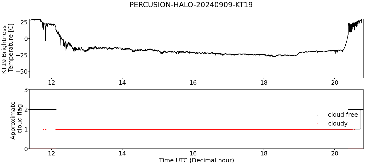
KT19 Timeseries of brigthness temperature. Not usable. The window infront of the KT19 encountered serious condensation.
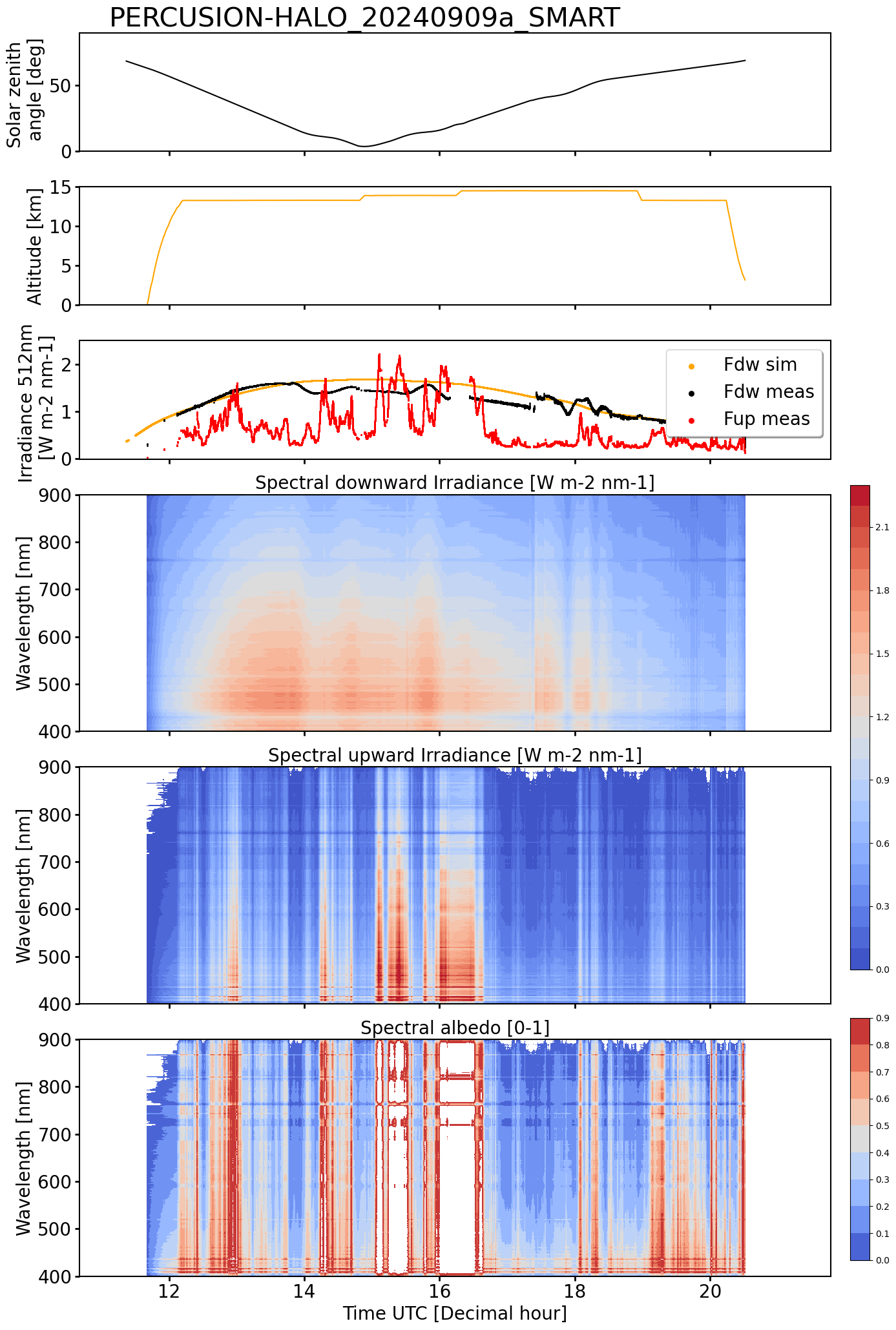
SMART Time series of upward and downward spectral irradiadiance, and albedo.
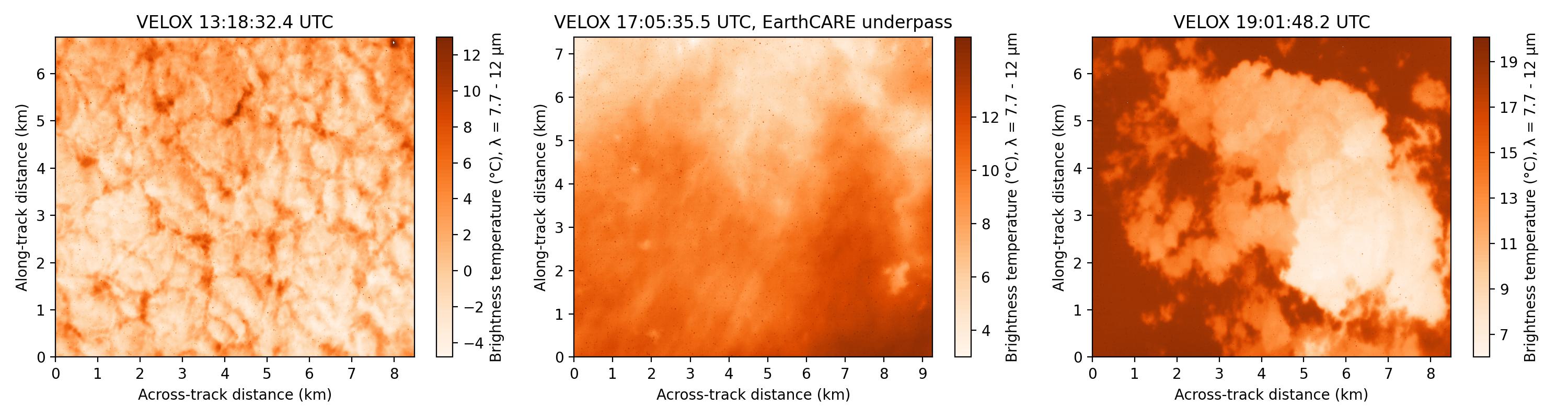
VELOX broadband channel with EC underpass
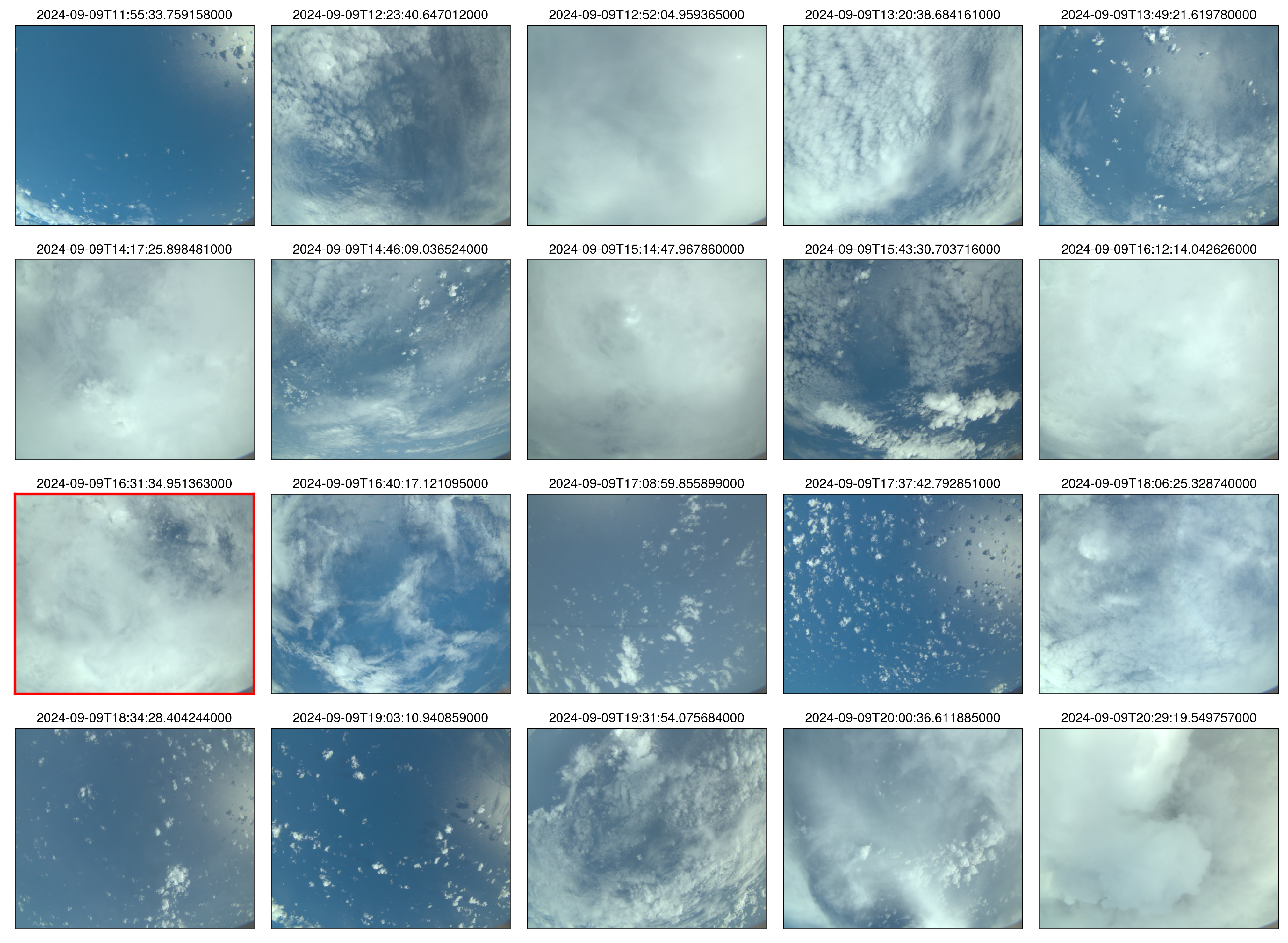 specMACS RGB snapshots from polb (lower right) with EarthCARE underpass marked in red. Find further quicklooks here.
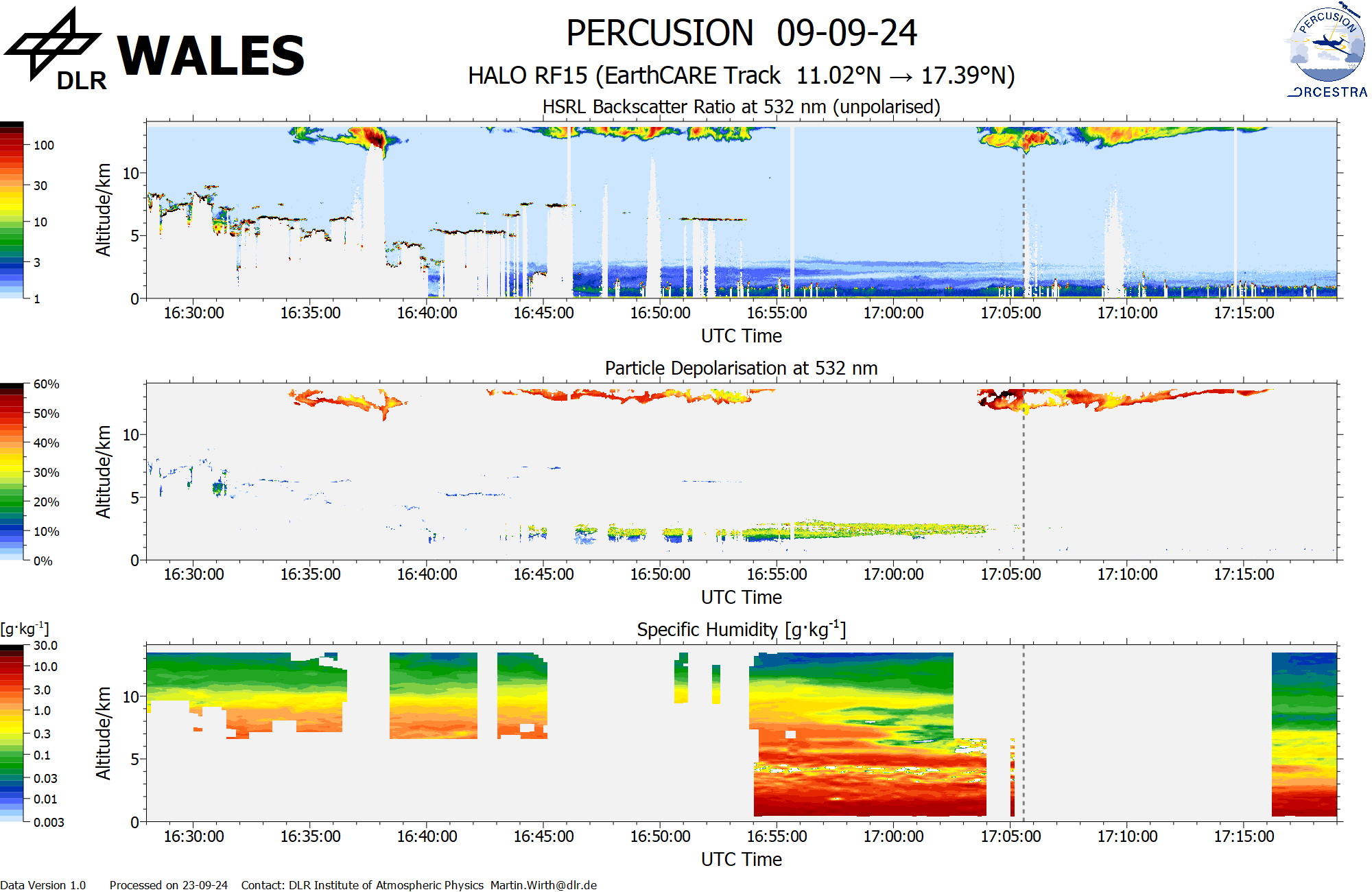
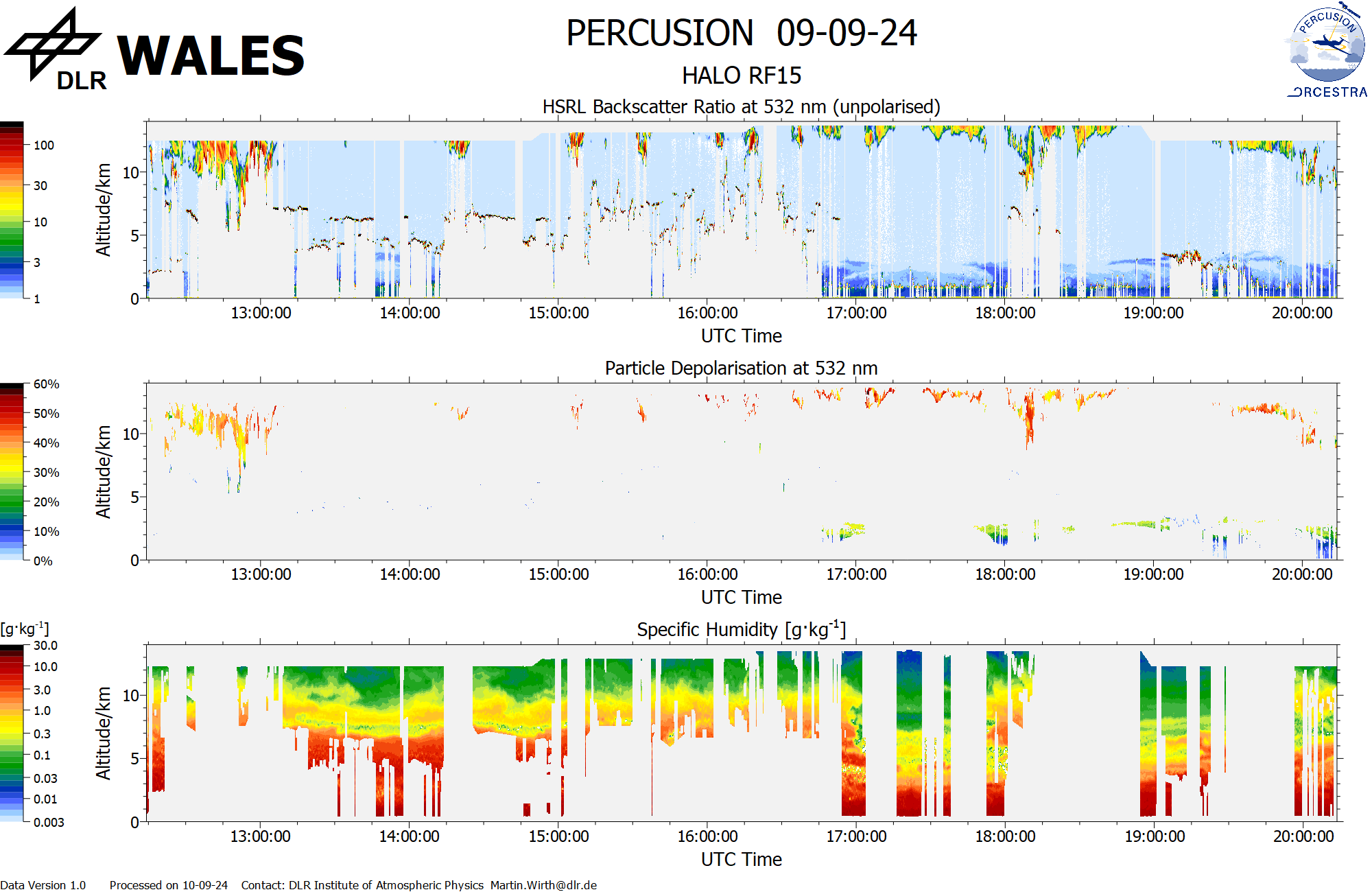
WALES (backscatter, polarization and humidity) at EC overpass
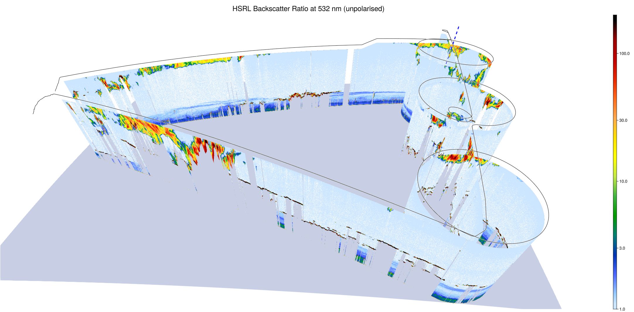
WALES (3D backscatter)
WALES (cross section)