Operation#


Operational support
Weather briefings
Weather briefings for MAESTRO are available on the operational center.
Weather briefings for PERCUSION are available on weather.orcestra-campaign.org.
ORCESTRA Science Seminars
The schedule of our science seminars can be found here.
Flight planning
Naming scheme for aircraft measurements
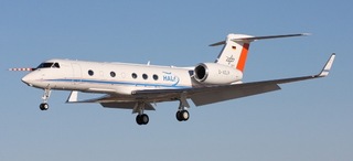
The naming scheme <aircraft>-<year><month><day><letter> (i.e. HALO-20240810a) shall serve as a clean and future-proof way to identify flights. The <letter> in the end of the scheme will distinguish between cases, when several flights will take place in one day.
For quicklook data the terminus QL_<aircraft>-<year><month><day><letter>_<instrument>_<Version: Vxx> is recommended.
Useful links#
AERIS - Flight track planning tool shaped for MAESTRO
MISVA - Monitoring and forecast of IntraSeasonal Variability over Africa
pyorcestra - A python package created for ORCESTRA purposes
TOOCAN - Tracking and characterizing mesoscale convective systems