Blog#
Welcome to our campaign blog! Here, I share some impressions, challenges, successes and other insights apart from the measurements in the campaign. This blog tries to capture the most recent developments and updates, but a daily post is not guaranteed as the campaign progresses and the written words here represent the perspective of the writer behind. Anyhow, I hope you enjoy reading it and get a glimpse of our day-to-day experience!
Cheers, Yu
#T50#
Some duties back in Germany called HALO one evening earlier home as planned. With the farewell of HALO and its leaving of the island, the campaign in the tropics comes to an end. Only some minor clean-ups remain and the containers needs to be shipped back to Germany. Although the main campaign time is over, one sub-campaign will come back after a month of break. PERCUSION has a third phase, starting in the beginning of November with seven more research flights following the EarthCARE track taking off from HALOs home base: Oberpfaffenhofen.
Some final remarks at the end of the daily campaign blog: Beside issues with getting containers in time, the instruments didn’t rebel and little hiccups with the aircraft(s) didn’t stop us from reaching the aimed amount of research flights. Every group could sample data: some as desired, others rather unexpected, but who knows how useful they can turn out to be if one looks from a different angle. Meeting EarthCARE worked out in most of the cases perfectly even if EarthCARE had some manoeuvre shifts in the first weeks of the campaign. We did manage to have several coordinated activities across platforms, but with communication more in advance this could be improved.
If the campaign was a full success or not, only future work and a proper analysis of data will tell. From first quicklooks and intermediate conclusions, some of the data seem promising and exciting to work with. The adventurous time of the experiment is over but the real work just has started and will keep the campaign spirit alive in the form of data.
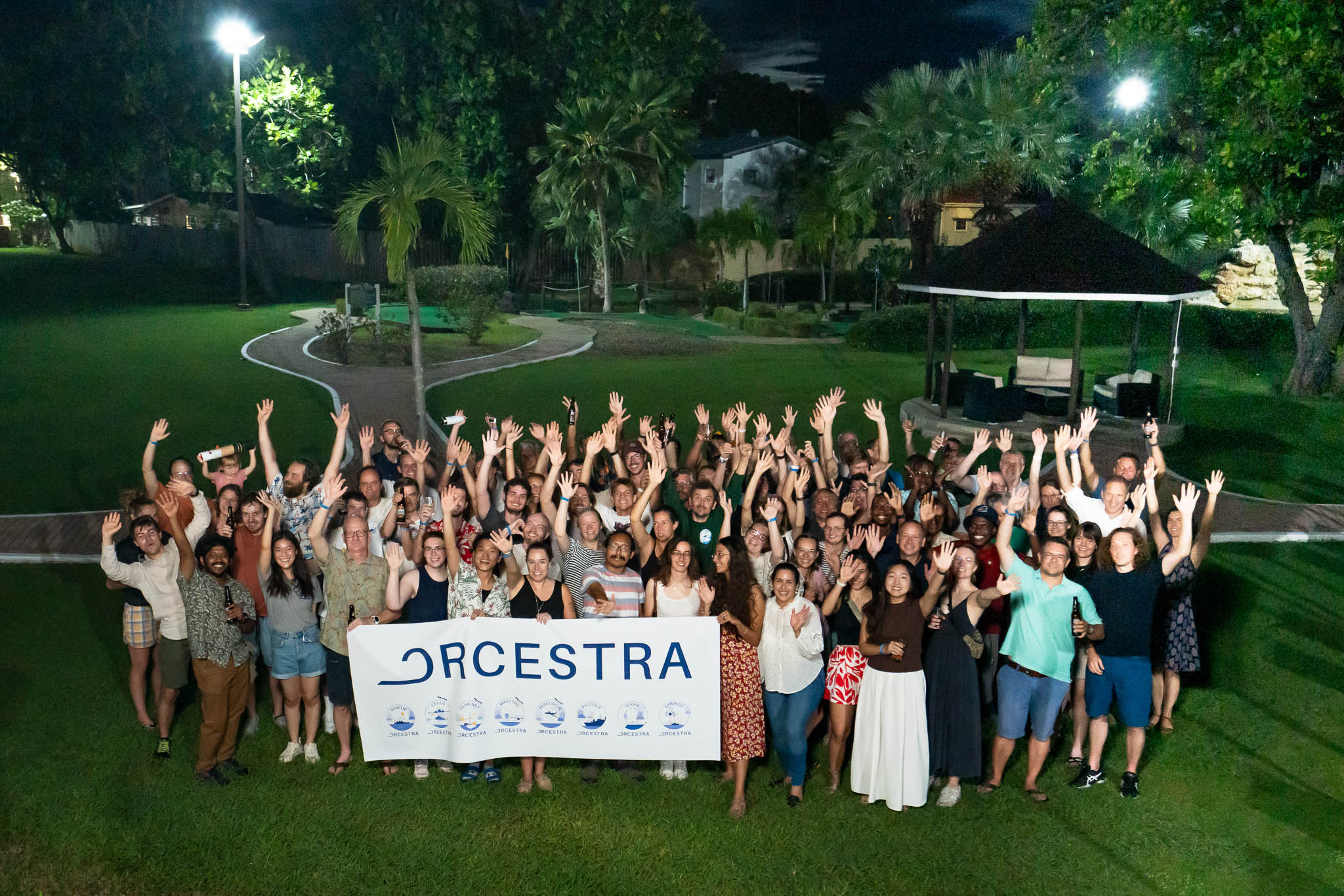
Fig. 7 Farewell by ORCESTRA on Barbados. (Photo by T.Vostry)#
#T49#
Today the last research flight of HALO in the tropics was conducted. Except for the flight crew, who had to prepare themselves and their instruments for the flight, the morning was rather calm for the others. No morning nor weather briefing since no more research flights were planned in close future.
I guess, people are quite looking forward to going home - for some it has been two months since they left for this campaign and committed their whole time being in the tropics, experiencing the practical side of research.
#T48#
missing
#T47#
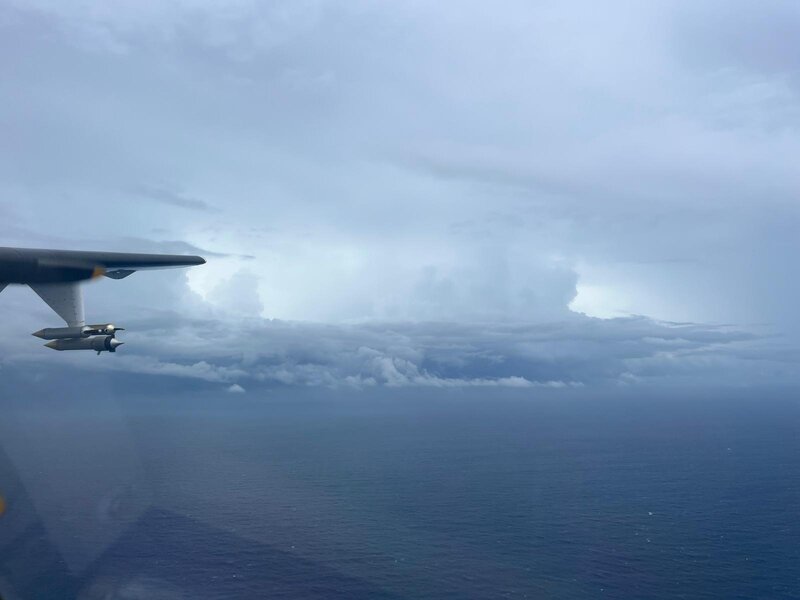
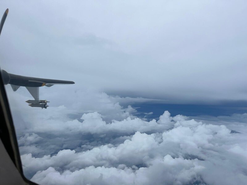
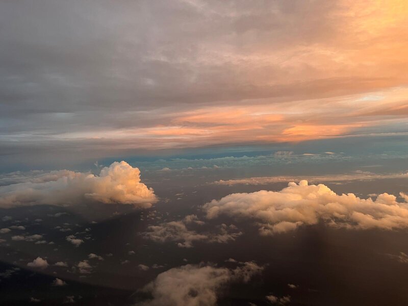
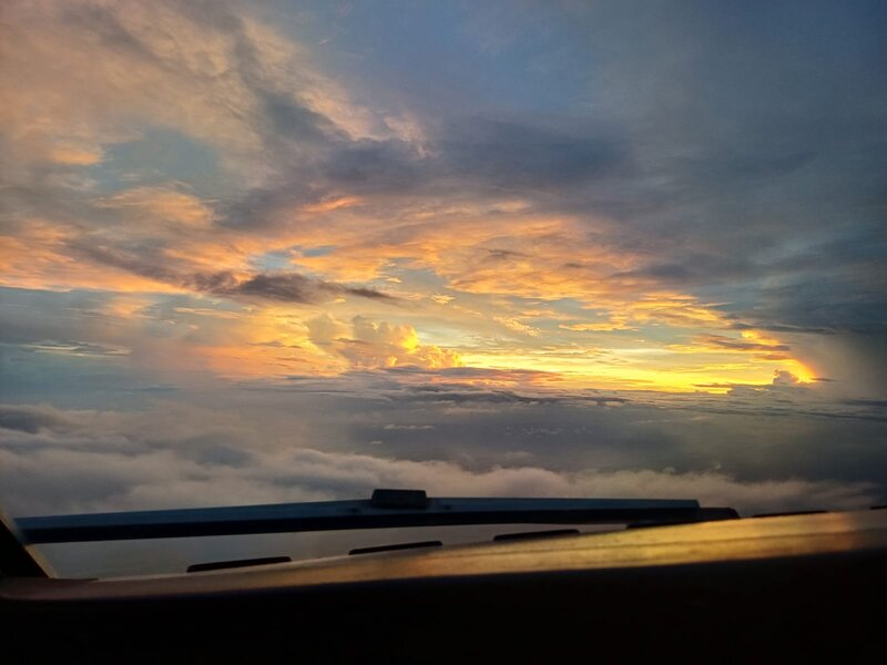
Cloud perspective at sea#
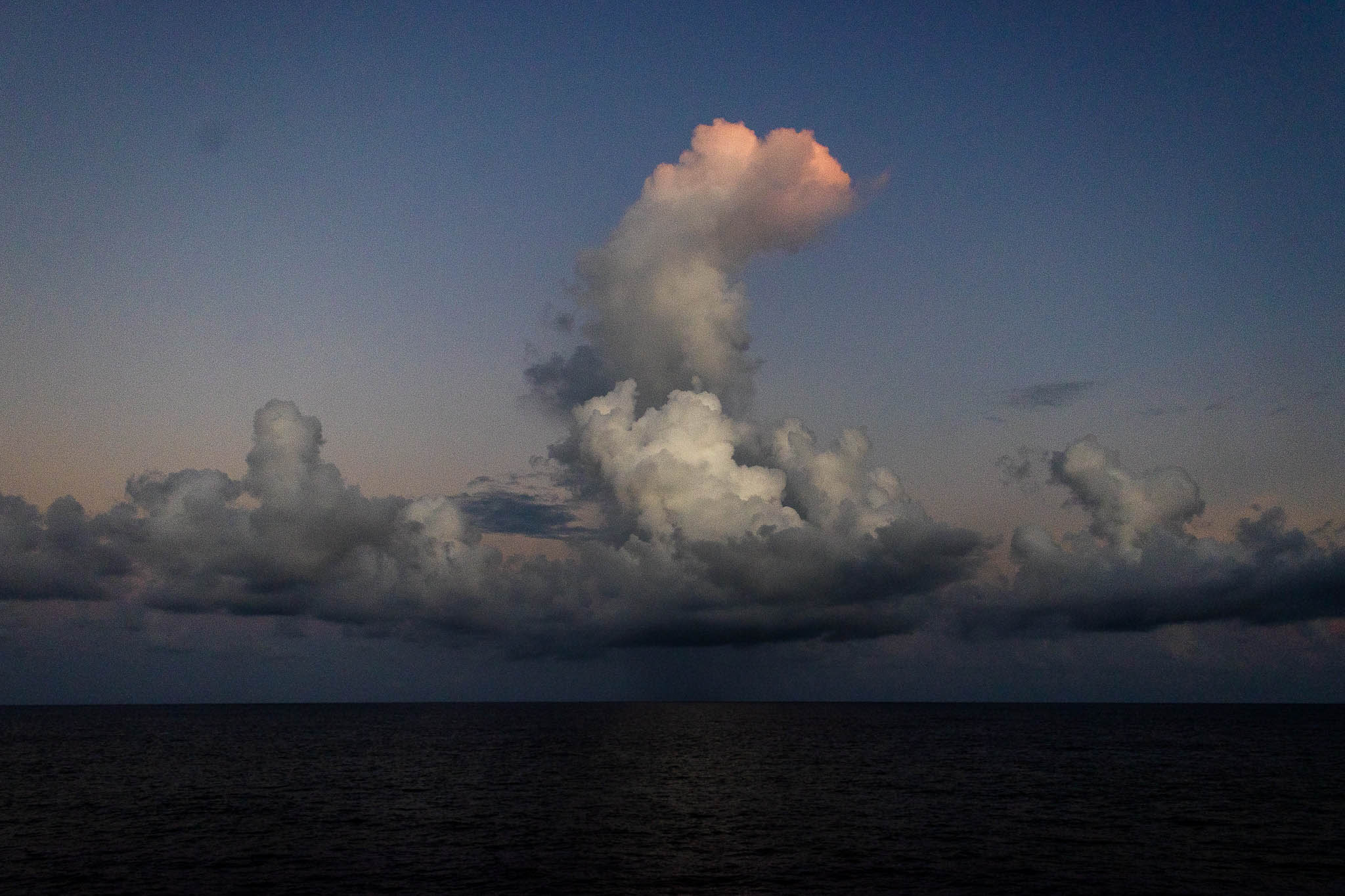
Photo by G.George
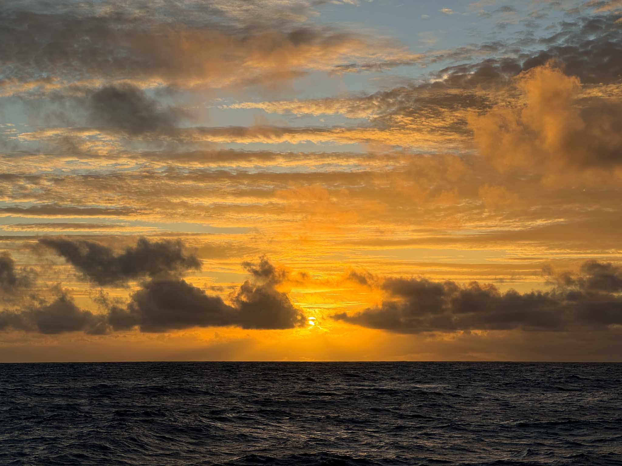
Photo by A.Wing
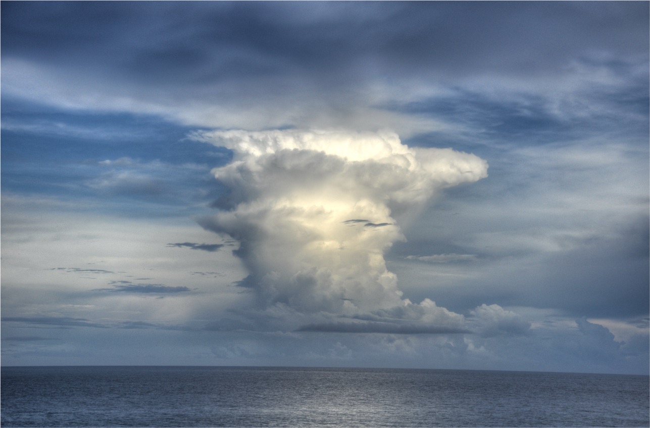
Photo by A.Wing
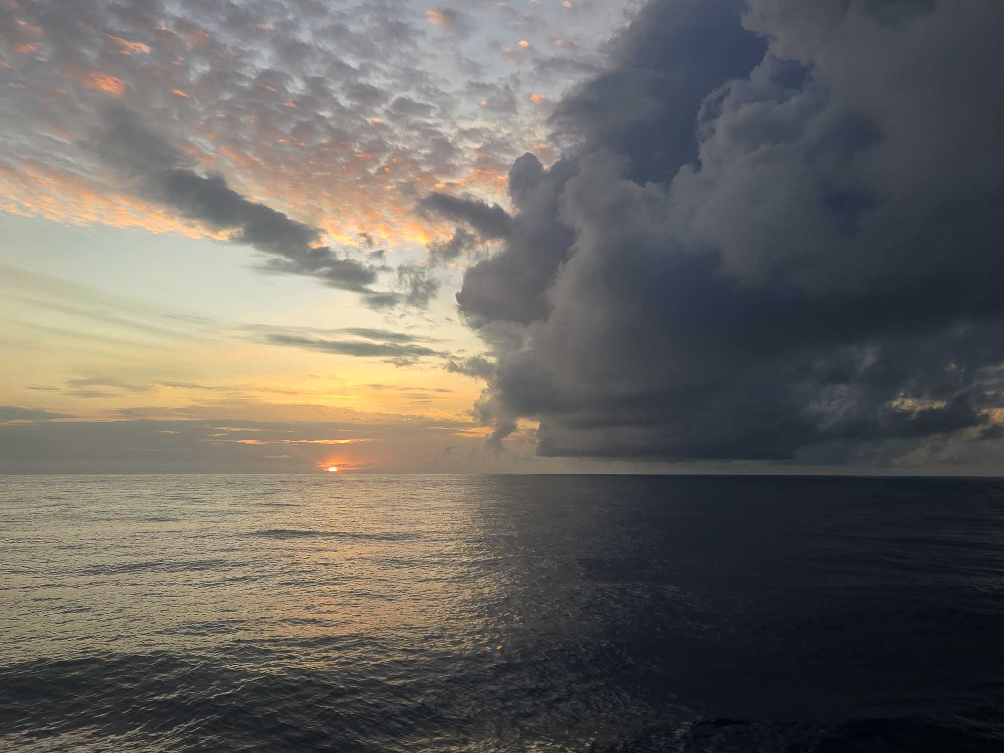
Photo by M.Lovato
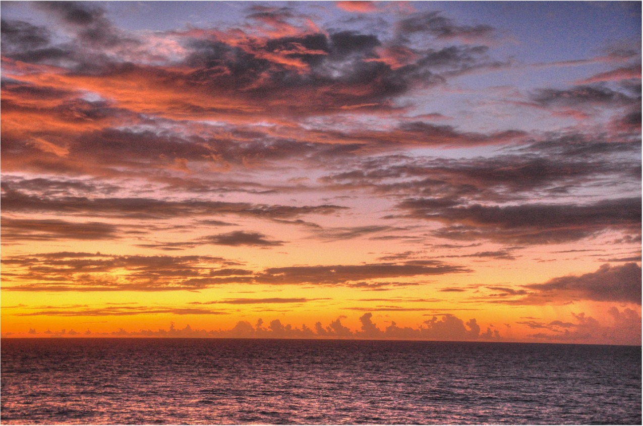
Photo by A.Wing
#T46#
This day was all about representation and reunion.
In the afternoon we had an official visit on the RV Meteor organised. Among the visitors were representatives of the foreign affairs in Barbados, the director of the Caribbean Institute for Meteorology and Hydrology, the honorary consul among others. After the greeting by the captain, a tour around the ship was given by the first and second officer followed by presentations from the chief scientist and the campaign lead. The official visit ended with coffee and cake, while exchanging thoughts among the different groups.
In the early evening, all remaining sub campaigns - BOWTIE, PERCUSION, PICCOLO, SCORE, STRINQS - came together for a lively symposium: Exchanging new discoveries, complementing perspectives from different platforms, sharing ideas and setting connections.
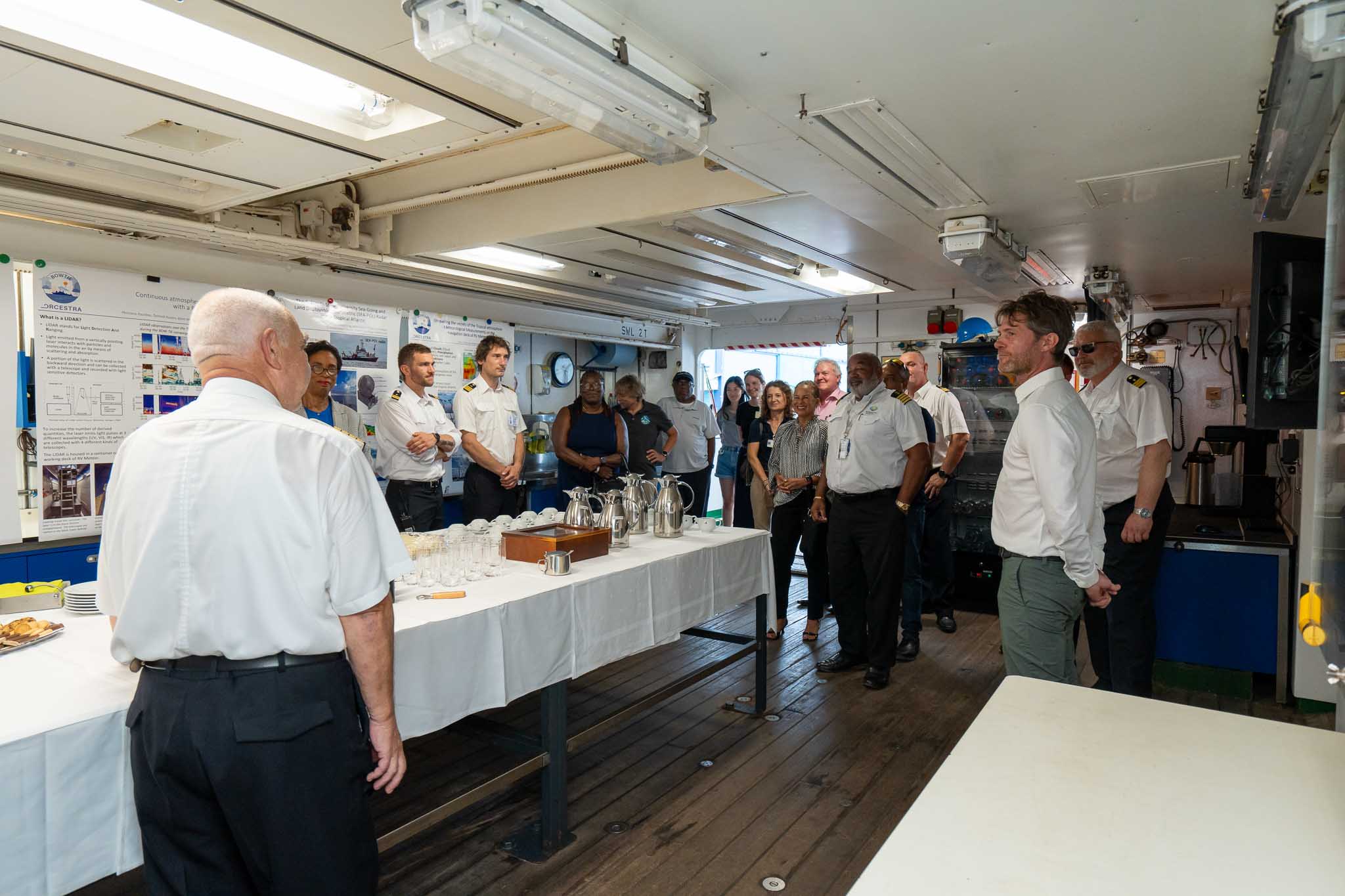
Greeting by the captain during the official Visit. (Photo by T.Vostry)
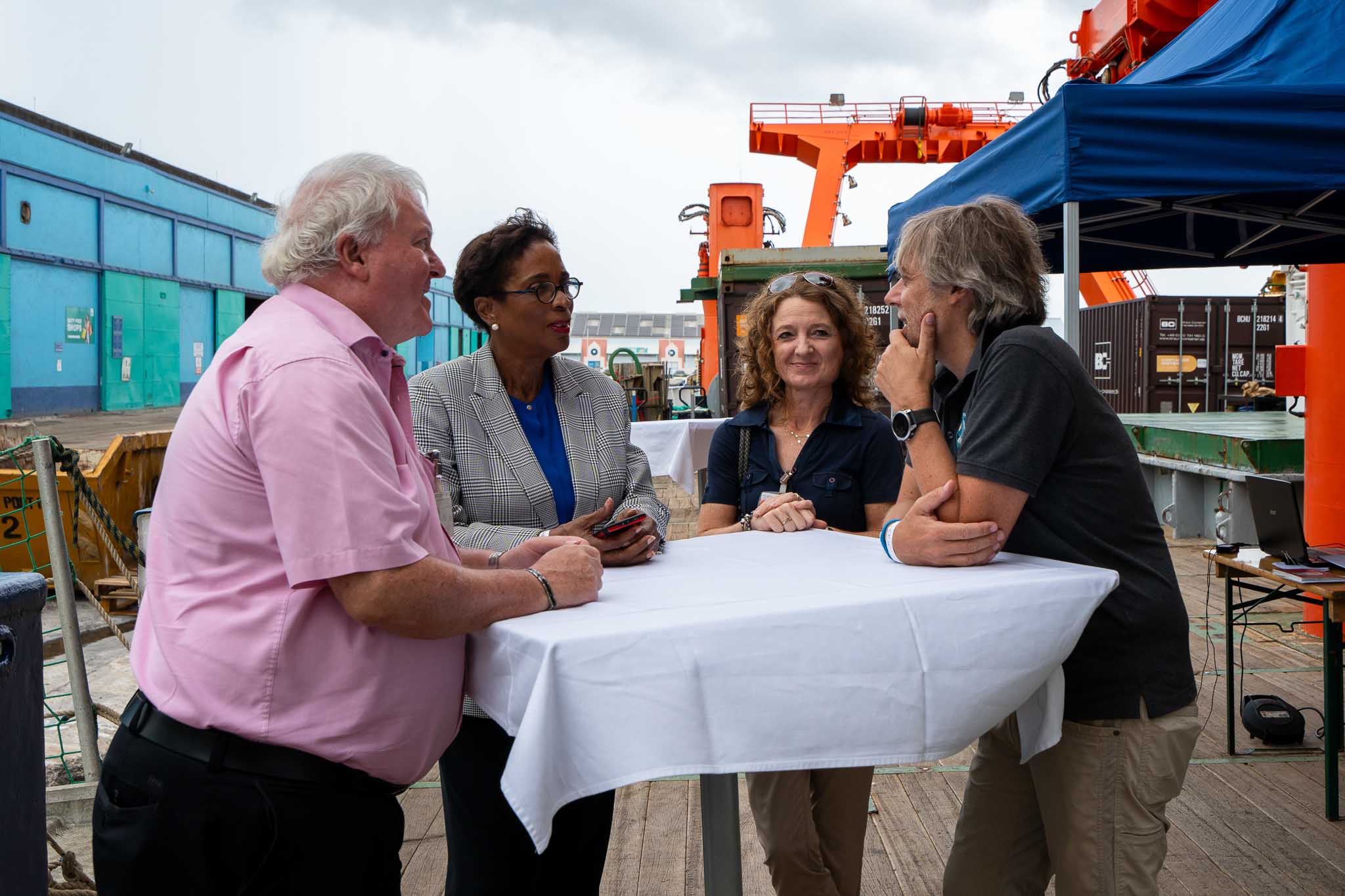
Chitchat with representatives during the official visit. (Photo by T.Vostry)
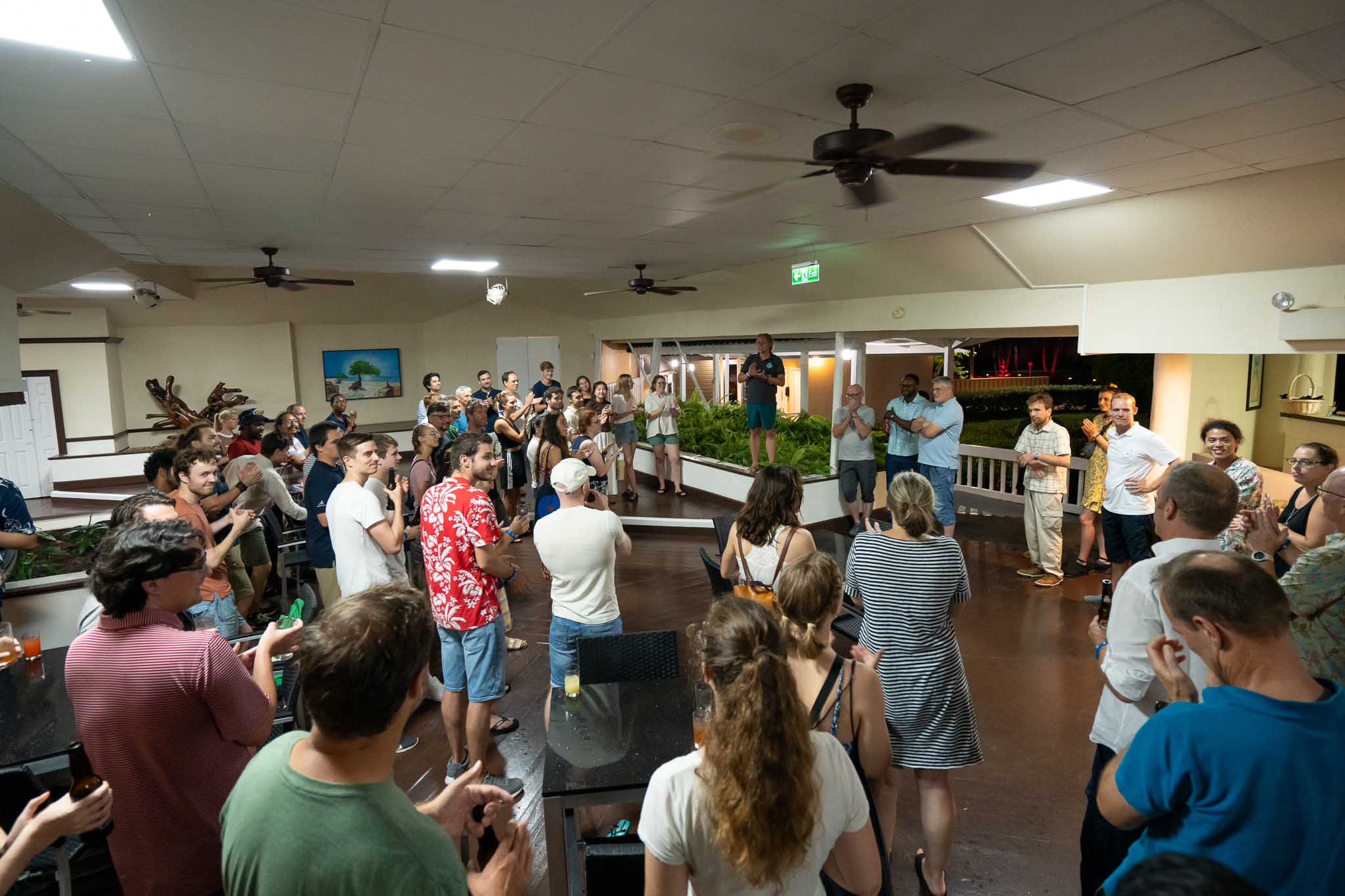
Symposium in the evening. (Photo by T.Vostry)
#T45#
41 days at sea and today is the day where the RV METEOR anchors in the port of Bridgetown - can you believe it? The first steps back on solid ground after a long voyage at sea. It must feel strange at first, having solid ground below oneself again - no counterbalance of steady motions of the ocean. Is there something opposite like sea sickness - land sickness maybe?
However, there is not too much time to rest. The ship must leave the port in three days with a new crew and a new mission. The supporting team of technicians was already waiting in front of the port, eager to deinstall the instruments and to pack the container. The main deinstallation was done during the past days still at sea while heading to the island. The rest was done within one day except for SEAPOL where the PICCOLO team needs to unscrew the radar into it’s single plates again.
While there is some action happening on and around the RV METEOR, we had some other excitement going on around todays scheduled flight. Due to unknown reasons, HALO was refuelled way too much and consequently was too heavy for take-off. Meanwhile, waiting for the aircraft to become lighter, an alternative route was discussed and two hours later HALO could finally lift into the sky.
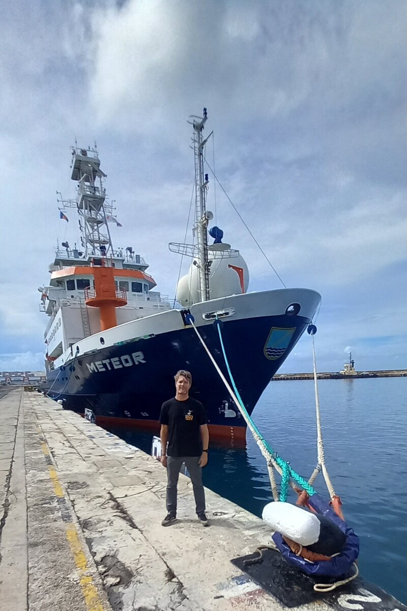
Back on solid ground. (Photo by anonymous)
Dismantling the SEA-POL radar.
#T44#
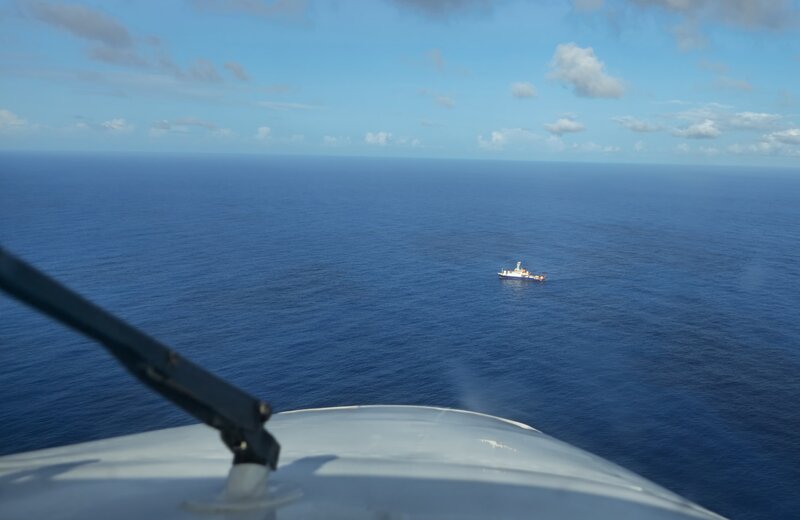
One week remains for the campaign in the tropics. And although we are having our 18th research flight, there are still things one can get excited about - beside of weather and cloud conditions. Today, HALO has the rare opportunity to fly over BCO and the RV METEOR as the ship is anchoring very close to the BCO for the next 24 hours.
After staying close to the observation and measuring a few miles away from shore, BOWTIE/PICCOLO/STRINQS officially ended their measurements - and so the shipborne campaign - with the last launch of the radio sonde at 18 UTC. With that, the ship has launched 327 sondes during their research cruise.
I can’t imagine how it must feel for the crew on board… Having the same people around for over six weeks, following the rhythm of the Atlantic waves, listening to the melody of water knocking on the bow of the ship, rain drumming on the roof, observing the tunes in grey and blue. And now, the voyage is coming to an end.
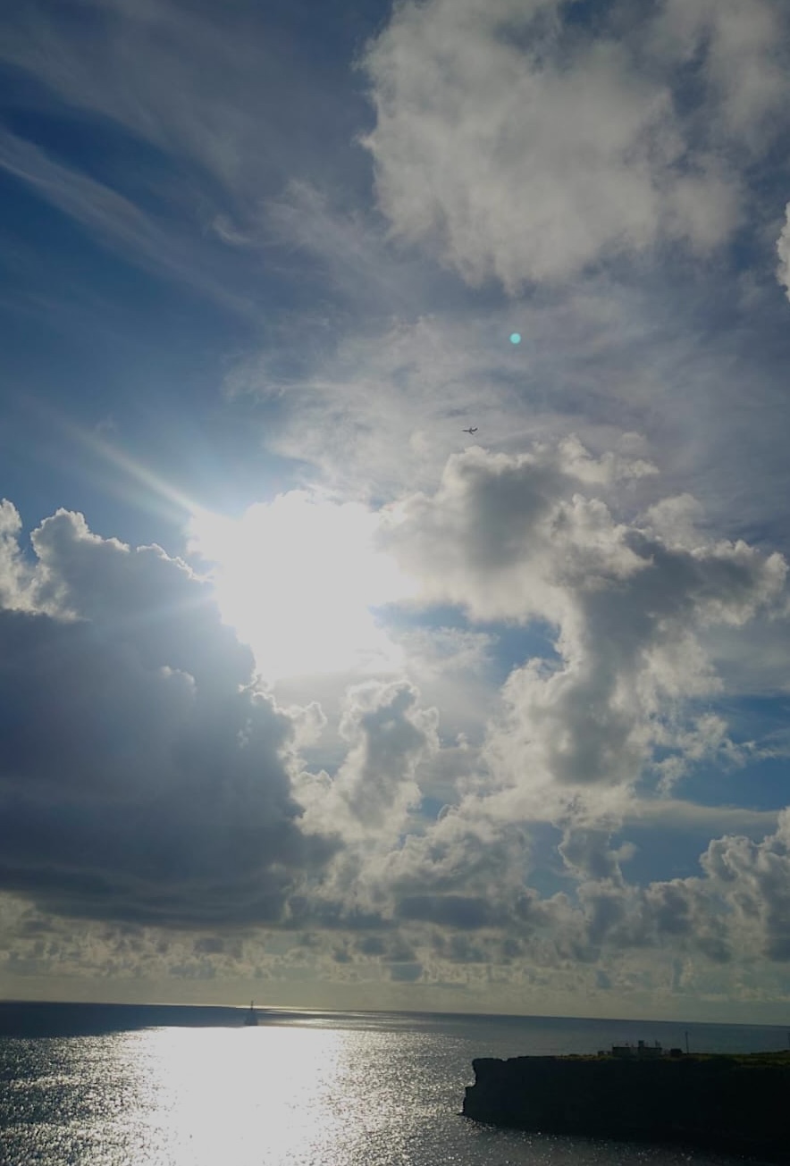
Can you spot all three platforms?
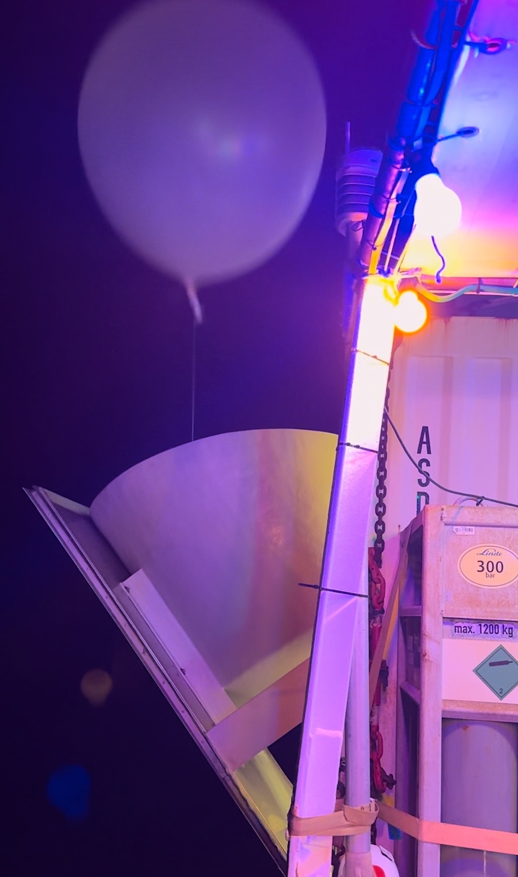
Launch of the final radio sonde on the ship. (Photo by A.Wing)
#T43#
Even though it was officially a day off, many scientists gathered not only to enjoy the view of the east coast, but also to show their unity by organising the Open House at BCO, where the public was invited to look around the observatory and learn about its history. There were several tours of the instruments and around the observatory. As a surprise guest, the RV METEOR appeared on the horizon, earlier than expected! Actually, it was expected to arrive early in the morning of the following day. The early arrival of the RV METEOR gave the Open House a special touch.
In addition, we had planned an additional launch of radio sonde where the students could get a glimpse of the experimental side in science. As the launch is synchronised with the one from the ship, I imagined a white balloon going up from the ship at the same time.
Later, when the sun went down and the world around started to get dark, and if you looked up and closely, you could see two green beams of light going straight up into the sky - a rare moment during this campaign when both LIDARs, one on the ground and one on board the ship, were communicating with the clouds at the same place…
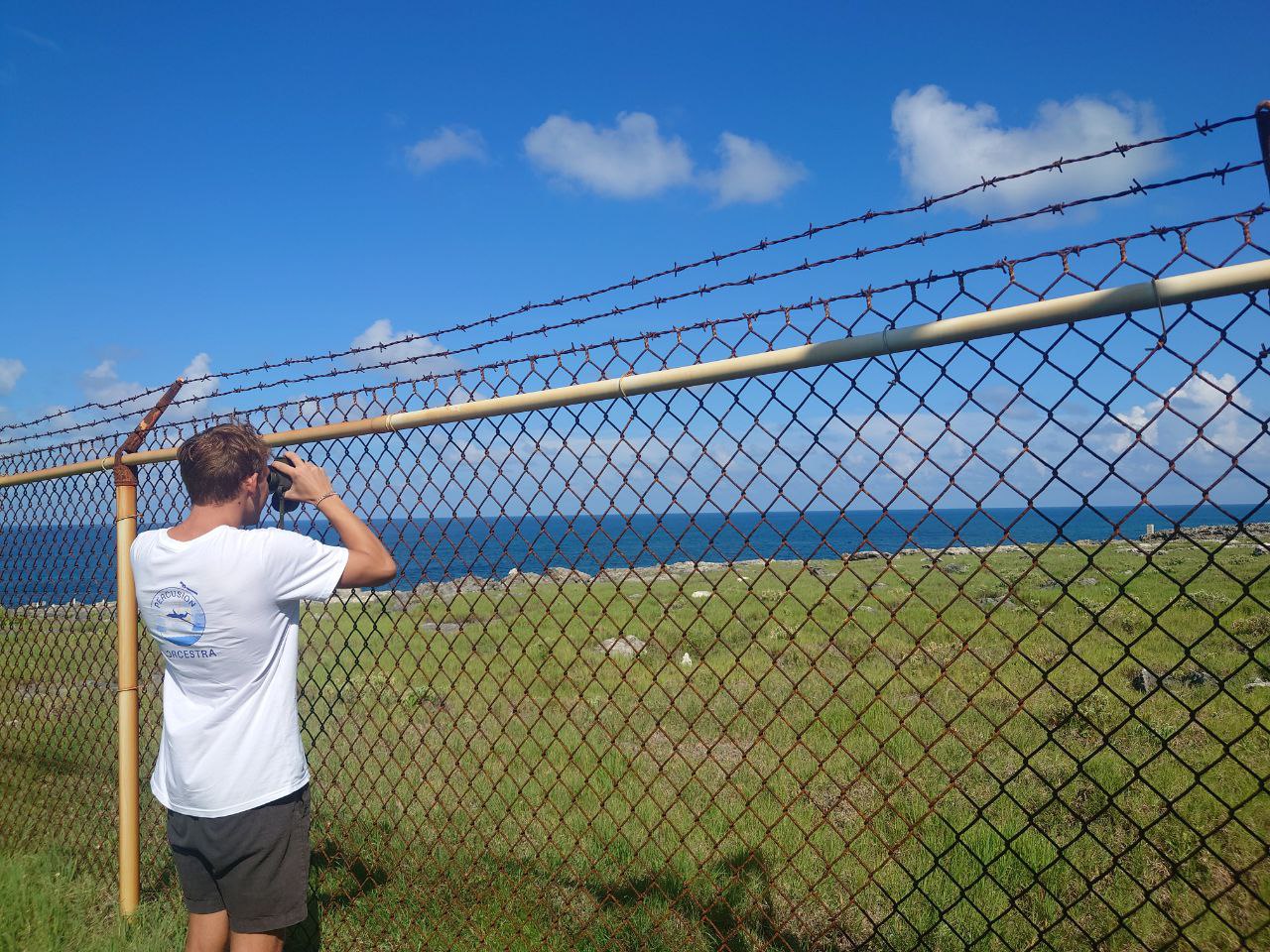
Trying to spot RV METEOR.
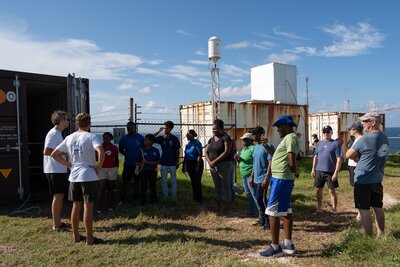
Open House at BCO. (Photo by T.Vostry)
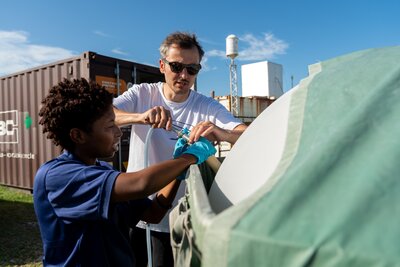
Preparing the radio sonde launch. (Photo by T.Vostry)
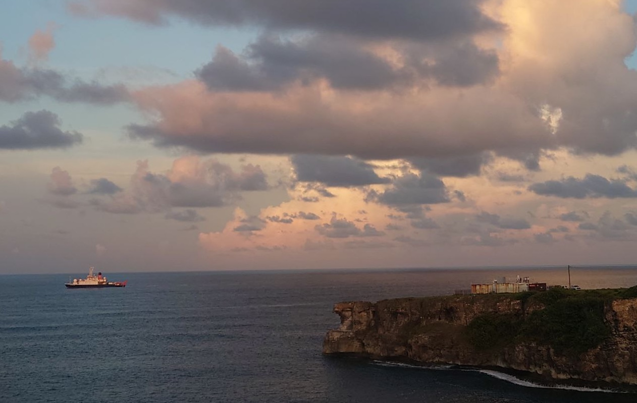
The RV METEOR anchoring close to BCO.
#T42#
Impressions from above the clouds#
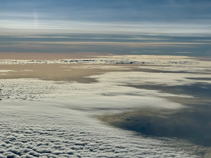
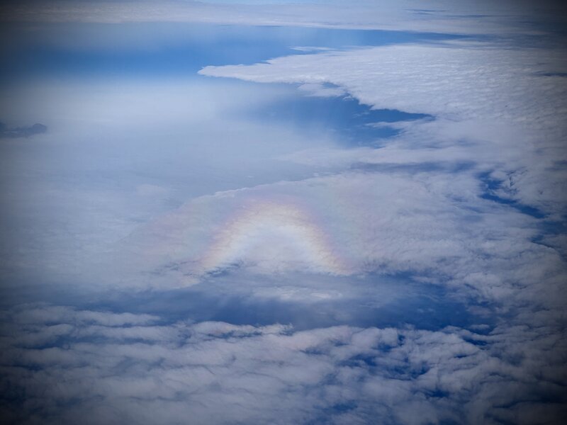
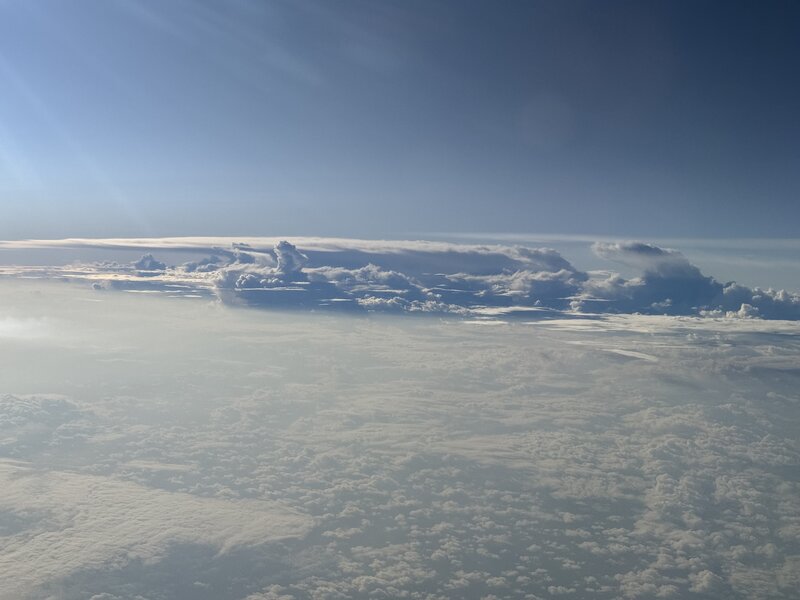
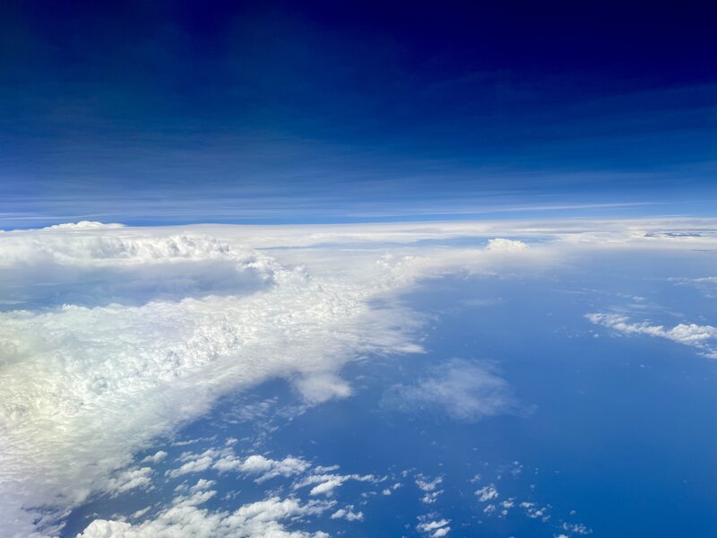
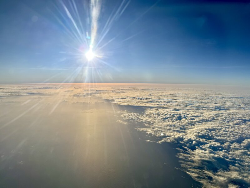

Photos by B.Stevens
#T41#
missing
#T40#
I am not sure if it was mentioned before, but for the second part of PERCUSION, the circle of Mission PIs - the lead scientist for a research flight - has been expanded. Now, early career scientists have the opportunity to master the tasks of a Mission PI, from composing a flight pattern, through discussions with flight operations, to selecting their crew. Today’s flight was record-breaking in two ways: First, it is an all-female flight! At least in the science crew. And secondly, 80 sondes were dropped during the mission. The average number of sondes dropped on previous flights is around 50.
Drop sondes are a very efficient tool for capturing atmospheric profiles from aircraft flight level down to the surface. After being initialised in the aircraft, the sonde is ejected through a tube with a sliding mechanism. A parachute opens to slow the descent, while its back provides data on pressure, temperature and relative humidity, as well as wind direction and speed.
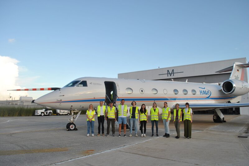
All female science crew. (Photo by C.Bayley)
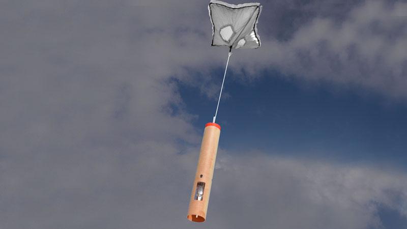
Dropsonde descending. (Photo by VAISALA)
#T39#
missing
CLARINET-03#
by Henriette Gebauer
With a further change of the crew at Mindelo, we started the 3rd phase of CLARINET. This was also the most intense part of the project on-site. Finally, our container, which had been stuck in the harbor of Mindelo for a couple of weeks, was transported to the OSCM. Now, the challenging task was to unpack everything, install the new 35 GHz radar as well as the disdrometer, and disassemble the existing 94 GHz radar to pack it into the container for shipping back to Germany – all within less than two weeks. But of course, no stress – Cabo Verde! Lunch break is lunch break, although the time is running.😉 However, the team at Mindelo did a fantastic job and finished everything just in time before their departure on 15 September. With that, the on-site phase of the CLARINET campaign came to an end, but the main work of data analysis has just begun and will keep us busy for some more weeks and months.
But for now, bye bye from Team CLARINET – Ronny, Annett, Henriette, Felix, Tom, Benedikt and all, who supported us intensely from home!
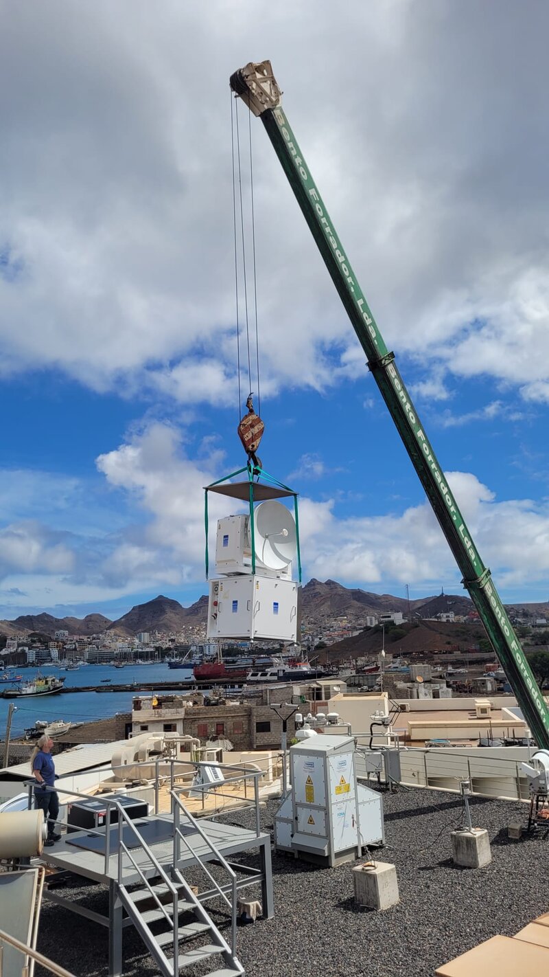
Installing the new rader. (Photo by TROPOS)
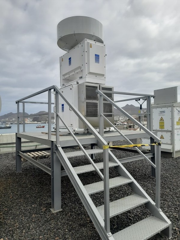
New radar set on the roof of OSCM. (Photo by TROPOS)
#T38#
Day off.
#T37#
Impressions from RV METEOR III#
by James Ruppert
I’ve always thought that gravity was a constant. I swear, gravity is only supposed to appear in the vertical dimension of the equations governing my body. But right now, it is unmistakably a variable, sideways force. Laughable or maddening, depending on the time and day. When trying to sleep, to shower, or maintain some grace while ascending and descending the flights of stairs of our multi-deck existence. Quite humorous yesterday evening when, during our group tabata workout, Lennéa’s pull-ups suddenly took on an impressive 5º tilt before my very eyes.
Wake up. Thoughts of coffee. Brötchen. Pfannkuchen. Race to one of the few, prized yoghurts bestowed upon us today. Work. Fresh air. Enjoy the 10-knot breeze. More coffee. Daily meeting. Oh my, lunchtime already. Mahlzeit! More work. Fresh air. Toll…Kaffee und Kuchen. Stoked. Good grief, dinner time already. What’s the menu tonight? Roasted lamb?? Epic. Oy vey…my heart goes out to the vegetarians.
Rolling, pitching, heaving. New vocabulary used to characterize the day. Well, no, that was likely not a new form of cloud that SEAPOL just observed…just the poor dish being tossed off her mark by literal kilometers with a 5º roll. Ouch.
Here, in the middle of the tropical Atlantic, we watch as unprecedented new data pours in. Sharing in the joy and excitement for all comes next. I’m now among the small fraction of humans who can say they’ve chased and punched through an ITCZ. We’ve now experienced the stratiform-ey rains of an easterly wave-turned tropical depression, shortly after it exited West Africa. That was the most doldrum-ey easterly wave I’ve ever ridden. Okay, also the only, but still…a bit surprising.
The clouds do not disappoint. The sunsets and sunrises do not get old. How wildly absurd that one can fall into routine, even mundane experiences at times, while existing merrily and comfortably in the middle of the tropical Atlantic, many days’ travel from the nearest civilization. Ferried in ridiculous comfort, all things considered, without a modicum of hunger or thirst. Enough bread stocking our freezers to survive, I’m convinced, for decades.
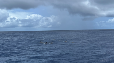
Welcomed to the open ocean by a large pod of common dolphins (Delphinus delphis) playing in the waves of Meteor’s wake. (Photo by J.Ruppert)
SEAPOL’s dynamic platform stabilizer meets her match in the ~2.5m swells south of the Atlantic ITCZ. (Photo by J.Ruppert)
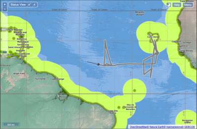
Home stretch. (Photo by J.Ruppert)
#T36#
Photo Series RV METEOR#
Photos by J.Ruppert
#T35#
Impressions from RV METEOR II#
by Owen O’Driscoll
I have been requested to share my perception of life and work onboard the R/V Meteor. This I have attempted to recount without too much embellishment. Fortunately life onboard involves fewer eyepatches and barnacles than pop culture had led me to expect. Particularly striking upon entry are the maze of corridors, stairs and doors that appear nothing short of a labyrinth. These quickly become familiar however, especially those leading towards the heart of the ship: the mess hall. Aside from keeping everyone fed, the mess serves a more subtle purpose as the on-board clock. Measurement schedules are regulated so as not to coincide with afternoon “cake time”, Thursday lunch ice creams or any of the Sunday specials. After a while, days become discernible by their menus more than anything.
Among the many leisurely activities and amenities on board one can count the sauna, a gym, frequent table tennis and darts competitions, star gazing, tuna fishing, engine room tours, a glider calibration tub—read make-shift swimming pool—and much more. But rather than facilities, it is my fellow shipmates, crew and scientists, that make this journey a memorable one. Things only come to a head during breakfast when the highly controlled supply of yoghurts (a commodity more valuable than bandwidth!) leads to a frenzied storm at the buffet line. However, even during this recurring darkest hour, there are those capable of sharing what little yoghurt they were able to obtain with those still less fortunate.
With a bit of luck one can spot quite some wildlife from on deck. The aforementioned tuna have been seen jumping across the air-sea interface in an effort to catch the more frequently-spotted flying fish. The occasional bird stops by on the ship as well. But as soon as you get attached and give it a name, they depart. The only sign of other humans is the sporadic appearance of a container ship on the horizon, or the train of visible satellites passing overhead during a clear night sky. Some people claim to have seen whales on this voyage! These people are not to be trusted however, I have seen less pixelated videos of Bigfoot than of these phantom mammals…
At any hour on the ship someone is taking measurements of something. For practical reasons we from Team STRINQS made measurements when the ship was stationary. That made operating our meteorological drones a bit easier. Getting the drones on the ship to begin with was nothing short of a Herculean logistical task. But that Odyssey is best left for another day. The drones are quite unlike those commonly spotted at the beach or elsewhere: despite weighing several kilograms they are capable of flying up several kilometers whilst profiling the boundary layer temperature, humidity and wind vectors. At first we flew just one drone to acquaint ourselves with takeoffs and landings from a wobbly platform, but steadily we built our confidence and tested the limits of these machines at night, during heavy winds and downpour. In doing so we were joined by local talent on board. Eager to take to the skies we flew up to three drones simultaneously and for a short while the Meteor was akin to an aircraft carrier with a proper flight deck, ground crew, call signs and an impromptu aircraft control tower.
This accomplishment was soon followed by a stroke of misfortune: successive battery failures prevented further simultaneous flights and an engine fire reduced our flight-ready drones from four to three. But worse was yet to come. That same day a mysterious communication disruption was soon followed by one of the drones plunging into the deep (which we can only assume to be related to flying too close to the sun). Yet another close brush with fate involving a third drone (and an unfortunate GPS failure) reduced our drone number to one. Though, unlike Icarus, this drone could be recovered with most of its wings still attached. With our last “bird” suffering from instrument failures (reducing the flight-capable drone tally to zero!) it was time to cut our loses and assess the observations acquired so far. Hopefully this is where the story of STRINQS and Icarus diverge, so that we, unlike Icarus’ father Daedalus, will take to the skies once more.
PS: Please send fresh apples
PPS: They should really add Mythos to the Ship’s library
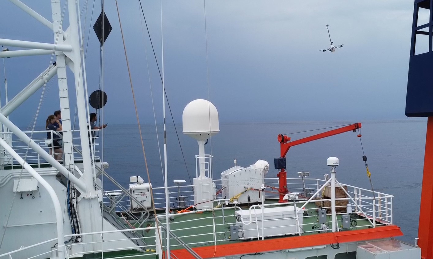
(Photo by O.O’Driscoll)
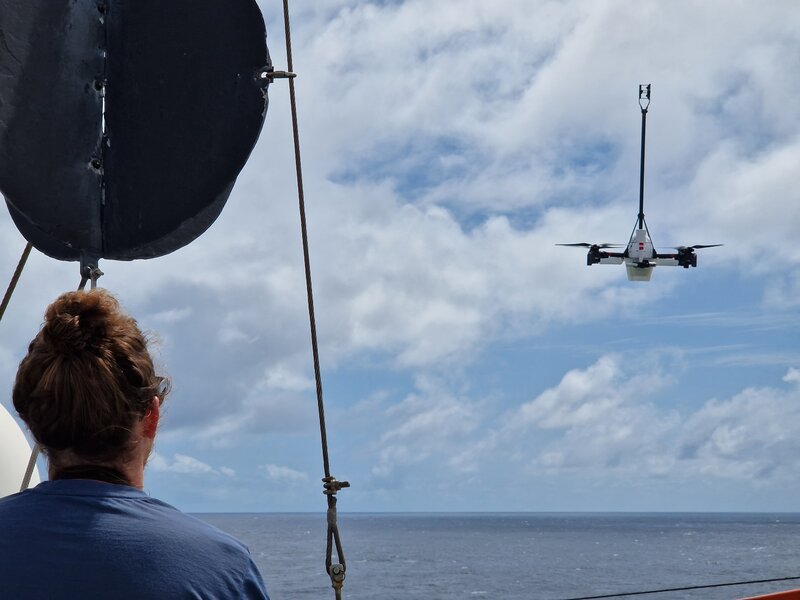
(Photo by O.O’Driscoll)
#T34#
missing
#T33#
Impressions from RV METEOR I#
by Delián Colon Burgos
Hello! My name is Delián, and I am an atmospheric science master’s student at Colorado State University, and part of the PICCOLO team on the RV Meteor. I work with the SEA-POL radar on board, which is a C-band polarimetric radar. Our instrument allows us to study the properties of precipitation and convective organization, so you can imagine we get really excited on rainy days!! Being on the RV Meteor for the past couple of weeks has been an incredible experience! First, it has been so fascinating being able to experience the weather in the ITCZ, including going through squall lines, easterly waves, and mesoscale convective systems, and matching that with what we see on the radar! Coming into this experience I was expecting to see a lot of deep convection, but it has been interesting to see that most of the convection is shallow and congestus, which doesn’t seem strong from satellite imagery but is able to sustain itself for hours and drop significant amounts of rain over us.
Apart from being fascinated by all the weather around me, I am really enjoying life on board, and getting to know the other scientists, students, and crew. Coming from the meteorology side, it has been really cool to learn about the science that other people are passionate about, including topics within oceanography and microbiology, and the instruments they are using. On my free time I have enjoyed spending time at the pool (yes, we have a small pool on deck, recently upgraded with bubbles), doing tabata with other people from the crew, engaging in game nights, and giving salsa lessons.
This has been such a unique learning experience, and I feel so grateful to be a part of it! I can’t wait to see what the end of the cruise brings!
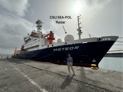
Delián in front of the RV Meteor. (Photo by unknown)
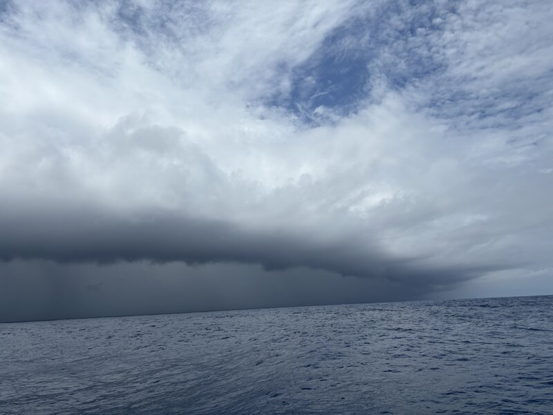
View of a squall line heading toward us, on August 31st. (Photo by D. Colon Burgos)
The PICCOLO team on the RV Meteor. (Photo by unknown)
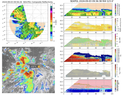
Data captured by SEA-POL during an easterly wave on September 3rd. (Figure by D. Colon Burgos)
#T32#
While MAESTRO has started packing its containers on Sal, PERCUSION is still waiting for its container to arrive on the other side of the Atlantic. At least one container has made its way to the BCO and the launch of the radio sondes is ensured! The team has even decided to increase the launch frequency to every three hours from tomorrow.
In the absence of the container containing all the equipment needed to prepare the aircraft for each flight and the data servers, some of the team have been brainstorming and canvassing the island over the last few days to find alternative ways of preparing the instruments for a flight or setting up a data server. For one group of instruments in particular, the data server is vital, as they produce an enormous amount of data - several TB per flight - and if it’s not properly copied and stored, they can’t continue measuring. And just as a reminder: Data is incredibly valuable in science. Without data, especially in the field of observations, how can we work? Fortunately, since we have the BCO on Barbados, we have some expert technicians who know the island and know where and what to get, and fortunately the improvised data server is working and is a proper workaround for now.
So we are starting to settle into our new environment. Today was a day of many meetings between different subgroups and across groups.
It should also be noted that for this part of the campaign, some of the early career scientists will get their chance to design their own flight and be a mission PI themselves! What an exciting and challenging role.
Fig. 8 Meeting on Barbados.#
#T31#
PERCUSION day off.
MAESTRO has been fairly quiet over the last few days. The convection around Sal has been less than attractive in recent days. But not for today. And what wonderful timing! For their last and final two flights, some wonderful convective systems from shallow to deep showed up in their flight range. And of course they took their chance and well… The photos say more than words can describe: Catching some nice deep convection, organized and popcorn convection, with a wide variety of different clouds and wonderful radar echoes.
On a different note: It rained on Sal! And not just some drizzle that disappeared faster than you could identify it as rain. It was a heavy downpour, where you could get soaked in a matter of minutes. What a way to end the campaign on Sal.
CELLO had its last research flight on 7 September. Today, the INCAS King Air is heading home - and so is the CELLO crew.
In every family there is always one child who is rather unlucky. And in the ORCESTRA family, that child seems to be STRINQS. At first it took them ages to get their drones. Then, after slowly getting to grips with flying three drones at once, they had a run of bad luck: one drone disappeared into the deep sea, another caught fire and a third encountered to have some communication issues, leaving them with one functional drone. Eventually, the STRINQS team decided to cease operations. At least they were able to complete around 40 flights and collect some data. They go back with three drones but many more lessons learnt from the experience. Maybe STRINQS sacrifice to the goddess of the ocean helped to keep worse away from the other childrens of ORCESTRA…
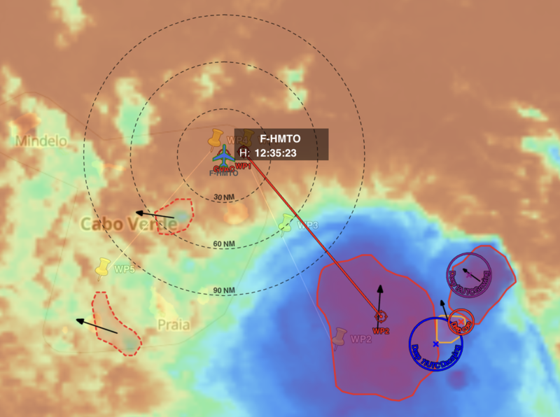
PLANET screenshot (Photo by B.McKim)
(Photo by G.Seurat)
(Photo by G.Seurat)
(Photo by G.Seurat)
(Photo by G.Seurat)
#T30#
It ain’t what you don’t know that gets you into trouble#
by Brett McKim
Compared to the sleek lines and gleaming finish of the jet-engined HALO, the stubbier, propeller-driven ATR looks utilitarian, like it should be hauling cargo across a harsh landscape. And that is what it felt like onboard as we accelerated to take off — the cabin filled to the brim with metal boxes, dials, and lights; the windowed landscape dotted with a few ancient volcanoes and even fewer houses.
The start and end of every flight is Sal, but the middle changes from day to day. It depends on the clouds. It depends on the phase of the African Easterly Wave, the phase of the Madden-Julian Oscillation, and who knows, maybe even the phase of the moon. The point is that every flight has the chance to offer something unexpected. This is why we are here, to see something that we don’t expect.
I was on the second flight of the day. The plan was designed to sample the conditions behind the trough of the passing African Easterly Wave. But we already knew at take off that the plans had changed. The first flight of the day sampled a “golden case” of a rapidly growing convective cell to the south east. They witnessed the birth of a cloud, and so now, hours later, we were to return to see what had become of this cloud.
As we approached the convective cell, flying at cloud base, the afternoon light gave way to gray fog. Then we ascended to about 6 km. Twenty minutes later, it dimmed to black. It began to rain, and then the plane began to shake. For 10 seconds I could feel my stomach and the 4-point seat belt keeping me in place. And then we were through. Some of the light came back, and the landscape to our left opened up, with a dark mass in the middle.
It was our cloud, and it had grown! I looked up, I leaned in, and I looked higher still, and then I could see the top.
And then I felt this vulnerability. We could not fly over the convection like HALO could, we could only fly through it, or around it. As someone who has been helplessly caught in a thunderstorm on top of a mountain, this felt eerily similar.
But what I thought this cloud would like was not the image that laid before me. This cloud was surrounded by layers of low lying stratocumulus, and mid-levels stratus that we flew through. And the convecting cell never reached high enough, or perhaps never detrained enough, to produce the high altitude cirrus I would have expected.
We passed the cloud unscathed, turned around and flew past it again. Now it was dark, and my only guide was BASTA, our horizontally pointing radar. It could still see the cloud, but I couldn’t. As the flight ended, I realized how the ATR, with its horizontal and vertical radars and lidars, among other things, is configured to sample the volume of air that surrounds it, in all directions, as opposed to HALO, which mainly looks down.
Why does the ATR need to look in all directions? The essential idea is that we should be sampling the cloud with its environment. The two act back and forth on one another, in ways that cannot be anticipated if we just imagine that clouds are passively responding to the environment. That’s why we have to go out and observe it.
Before this flight, I did not fully appreciate this two-way coupling. I used to think of clouds living in response to the large scale environment’s “cloud controlling factors”. But if these really have all the power, then who let the stratocumulus out of their enclosure and put it next to our convective cell? And who invited the altocumulus? Why should they exist in such numbers when large scale “cloud controlling factors” say otherwise?
After the surprises of this flight, and the whole campaign, I realize I might be missing something important. I think I’ll need to rejig the puzzle pieces in my mind of how clouds, circulation, and climate fit together. As Mark Twain said, “It ain’t what you don’t know that gets you into trouble. It’s what you know for sure that just ain’t so.”
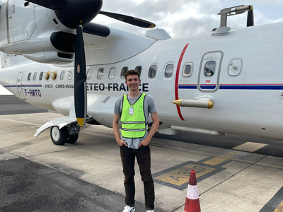
In front of the ATR.
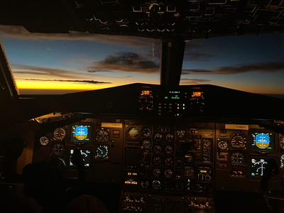
Look out of the cockpit.
#T29#
The start for PERCUSION here in Barbados has been a somewhat bumpy one. One reason could be the delay of the transfer flight. The first mission flight on Barbados felt a bit rushed as it came right after the transfer without the usual pre-flight meetings. Although the flight was trouble free, people seem to have been swamped by the immediate action. We followed up on the morning briefings we’d had in Sal, and you could tell from the faces who had just joined and was eager to contribute to the campaign, and who was already carrying a load from four weeks of campaigning.
We also received news that the PERCUSION containers are still stuck in customs for an unknown time. But a delayed clearance of the containers seems to be usual for every campaign. Let’s hope it doesn’t take too long, as the equipment in the container is desperately needed to prepare the instruments for the flights. In Barbados, HALO won’t be in a hangar and there’s no shade to hide under at the airport. Just a paved area, heat and more paved areas.
At the easternmost point of the island, measurements began as planned, with the first radio sonde launched two nights ago. The launch of the radio sondes is being conducted at the Barbados Cloud Observatory (BCO), which is equipped for standard meteorological measurements and has been operational since 2010. Here, between grassy areas, cliffs and the sound of the sea, large white balloons are released into the sky every 6 hours.
While part of us settles in and adapts to a new location with different conditions, the ship heads north towards another rain band to reach the northern edge of the ITCZ. Fortunately, the rain passed quickly and they were able to enjoy their Bergfest - a traditional event where everyone on board celebrates reaching the halfway point of their voyage - and taste the freshly caught tuna from the night before.
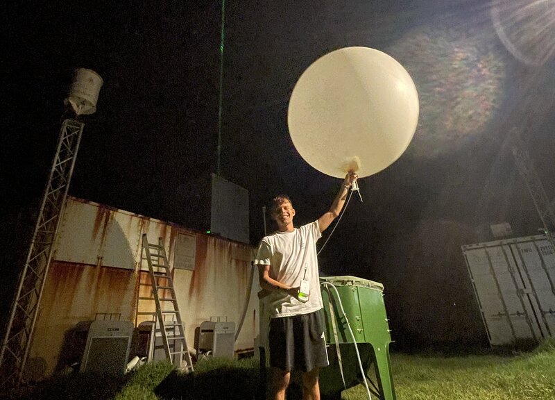
Launch of the first radio sonde on Barbados. (Photo by M. Winkler)
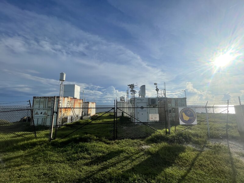
BCO at Deebles point. (Photo by M.Winkler)
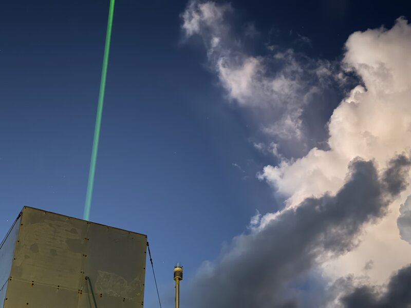
Raman lidar and it’s significant laser pointing into the sky. (Photo by B.Stevens)
#T28#
Postcard from Barbados#
by Bjorn Stevens
We are on Barbados now, having arrived after a day delay on Friday (6 Sept). The lavanian landscape of a water parched Sal (Cape Verdes) – with its scattered and timid clouds who, even when they gather in groups, keep their hads low – has given way to a tropical splendor. I’ve never seen Barbados so green, its clouds so towering and frequent. In the low wind regions that we presently find ourselves in it is fascinating to see how the convection rises straight up like a column. Flying around it feels like Totoros are everywhere. Suddenly, outside your aircraft window there they will be – watching you.
Some days we fly over a sea of white as the clouds load the upper troposphere with their fine particulate. At the beginning of the campaign we wondered how thin layers of cirrus, at 16-18 km and well above the sea of white got there… but with a careful eye larger cousins of the Totoros could be seen shooting up over the veils, for short periods minutes to a few tens of minutes, before slipping back into the sublime.
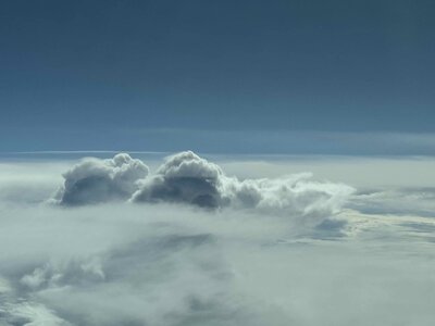
Fig. 9 Clouds like Totoro. (Photo by B. Stevens)#
We’ve been fascinated by the humidity structure, which looks nothing like we taught ourselves. No ‘C’ is to be seen, rather the captial “I” of a fully moisture laden atmosphere of the doldrums, but not quite saturated, or the “W” where convection seems more spatially compact. Something to better understand. We’ve been measuring, slowly, sample after sample after sample the full vertical structure of the atmosphere as we glide around in circles.
Ours are the first ever measurements of their kind, and hour after hour, day by day, as we unravel the vertical structure of the atmosphere we get more and more insight into the processes that govern the behavior of the rainbelts. Layers of super-cooled water at 7 km are some of the best indicators of nearby convection, but what’s maddening is how convection starts and stops at every level. Looking down, clouds don’t have bases. In the radar convective elements seem to shoot up out of a water laden sky, fully decoupled from the surface, and fall down, or detrain in thin stratified layers that mark their defeat in a perpetual competition for prominence. And where we find convection we find clear-skies, as the air collapses in the wake of convection, only for new convection to rise up along the boundaries.
But we don’t only measure the clouds, but how vast and different the world can be. Sal, was an island that seems to be a place made only to lure tourists to sand, and how this is euphemistically interwoven with the poverty that inevitably debases the drive for riches. It wasn’t real life. Barbados, in contrast, where tourism is embedded organically in local life, feels different, more like a real place with people leading real lives … rather than where wayward souls gather on the ruins of volanos to exchange their wares.
Our crew has been doing a great job, and it is impressive to see the many ways and willingness of everyone to contribute. Not a few of them despite suffering multiple bouts of food poisening, tropical ailments and the maddening world of international air-travel, with all-night flights routing people around the world to travel routes no longer frequented. I shouldn’t mention names, because all have been great and they can all share their own stories.
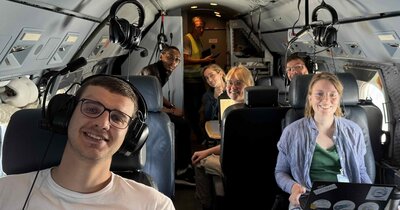
Fig. 10 Crew on the first mission of Barbados. (Photo by B.Stevens)#
Many things work well, but even so a great deal of the time we spend overcoming things that don’t, or that we are not used to. From finding liquid nitrogen, to getting our clothes, to finding a coffee or laundrymat. Racing to solve one problem, like sondes that don’t launch, generators that don’t generate, lidars that aren’t there, or drones that don’t come, and when they finally do they go away again. Just as one problem is solved another pops up and then the next one, like clouds at the edges of the cold pools alluded to above. Customs has been a constant challenge, from containers for ships not afriving, to our present situation where much of the material for the aircraft is stuck in customs for weeks. This forces us to improvise, and fear each day that an eventuality that can’t be solved and thus interrupts our patient sampling, flight by flight, circle by circle, sonde by sonde.
There of course are many other stories, but HALO is taking off and soon the weather briefing starts, and, I have to find a coffee.

Fig. 11 Cloud impressions. (Photo by B.Stevens)#
#T27#
Transfer flight HALO - working on it…
#T26#
It’s 6:30LT. Time to get up, rush through breakfast and get ready for the transfer flight from Sal to Barbados. This time we have to go through the usual airport security procedure as we are leaving the country and our bags have to be checked. This would be my first flight on HALO and the excitement was building as we got closer to take-off. As we waited in the back with our seat belts fastened, the take-off apparently took longer than usual. At one point the pilots spoke to the Mission PI and said they had found an error message and needed to check the engine first. The flight crew started to move, other members of flight operations came into HALO and discussed. At first we scientists just sat and waited, hoping that this would only take a few minutes. A few minutes later we were told that, depending on the nature of the technical problem, it could be repaired within an hour or two, or that HALO wouldn’t fly today. We are free to go.
Almost an hour has passed. HALO was still in park postition. The flight engineers have been doing things to the engine that I don’t understand, but they seem to have found the problem. Now it’s just a question of how exactly to fix it.
Another 30 minutes passed. We’ve received word that HALO will be returning to the hangar. Although they have found the technical problem and fixed it for now, they will have to do some engine test runs on the ground. Pilots have a strict rule about how many hours they can work. And in order not to exceed the hours, there will be no transfer flight today.
So unlucky. You could see in almost every face that this situation was not ideal and many of us were ready for Barbados. The flight crew had already left the country through passport control at the airport and there was no hotel to stay in. It was also not clear if we would be able to fly the next day or if we would have to stay longer on Sal… Once the scientific crew had overcome their first moment of shock, we grabbed our things, went through passport control again to enter Cape Verde and drove back to the hotel in the hope that they still had rooms available for at least one night.
Back at the hotel, some French colleagues had just returned from their lunch break and were surprised to see us back. Due to the lack of convection around Sal, MAESTRO decided not to fly today. Instead, they planned to visit the turtle hatching station in the afternoon, as it is hatching season and many little turtles are expected. They even had the opportunity to release all the baby turtles into the sea. What a lovely activity!
Later that evening, the PERCUSION crew received notification that the technical problem had been successfully resolved and that HALO was ready for the next day’s transfer.
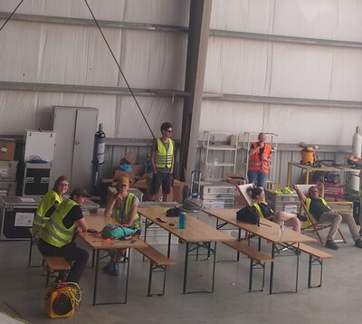
Crew waiting for news.
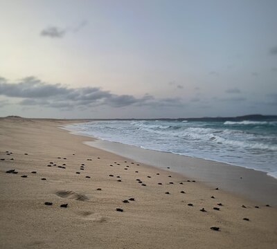
Release of the baby turtles. (Photo by E.Chauvin)
#T25#
Today was a day off for MAESTRO. It was a shame to miss the last joint morning briefing on Sal between the German and French teams, as HALO will be leaving for Barbados tomorrow. On the other hand, the French team really deserve their day off, having flown six days in a row and four flights in three days before that.
The PERCUSION members are already in full clean-up mode, tidying up their workstations and packing them back into boxes. Within the next two days, everything, including what is in the hangar, has to be put back in the container before customs checks are carried out.
At the moment, a French film crew is here to shoot some scenes for their upcoming project. Look at sciences visited the EUREC4A campaign in 2020, where they produced the film The Cloud People, which has been shown at various film festivals. As one of the producers was part of the visiting film team, The cloud people was shown later in the afternoon. The film is an artistic summary of the first attempts of the camera to follow a cloud from it’s being to it’s passing and the connection of clouds to the history of humankind. It also captured some cultural aspects of Barbados and was a nice teaser for the PERCUSION team to get some first impressions of the Caribbean island where they will be heading next.
RV METEOR began to head west, swimming towards the nearest Pirata buoy at 8N, 38W. Unfortunately, STRINQS lost one of their drones in the sea, despite the safety float ring. Also, the propeller of another drone caught fire. Fortunately, this should be fixable and can be replaced if the damage is not too extensive. Despite the delicate situation with the drones, the RV METEOR seems to be surrounded by a rich variety of weather conditions, ranging from rain, which turns from light spray to dripping from the roof, to doldrums, with sunny skies, calm seas and almost no wind.
By the way, if you are curious if this campaign has attracted any attention outside of this website, check out the articles listed below:
ORCESTRA: Taking to the sea and sky for EarthCARE ORCESTRA: Half-time for the tropical cloud experiment HALO under EarthCARE in tandem flight – measurement flights from aircraft and satellite ORCESTRA: Sea Sickness and turbulence worth it for EarthCARE
#T24#
Today was the last chance to orchestrate between all the moving platforms: RV METEOR managed to stay right in the middle of the centre circle. On its way back, HALO managed to overfly the KingAir and flew a circle around the ATR - again capturing some nice mesoscale convection along the way. Although construction work at the airport in the morning delayed HALO by about 30 minutes, it missed the EarthCARE underpass at the planned meeting point, but was caught close to RV METEOR - such a rare opportunity to see the vertical structure of the atmosphere from the outside of the Earth down to the surface. Here is a collection and estimation of some numbers during ORCESTRA so far:
The campaign involves a collaboration across 4 continents, 30 nations, over 210 people from 50 institutions, including scientists, technicians, the flight crew, the ship’s crew and many more.
We’ve deployed about 120 radiosondes on Sal, another 156 radiosondes from the RV METEOR and dropped more than 542 radiosondes from the aircraft.
In total, we had 39 research flights in 4 weeks, ranging from 2 to 10 flight hours, and passed EarthCARE 28 times.
So far, STRINQS has flown 15 drones and made almost 90 oceanographic measurements (CTD - conductivity, temperature and depth measurements - and MSS - microstructure measurements in the ocean).
There are also countless lidar and radar scans, radiometer measurements, spectral images and much more. I’m sure I’ve forgotten many instruments and measurements, but it’s almost impossible to keep track of them all.
And the campaign has just passed the halfway mark!
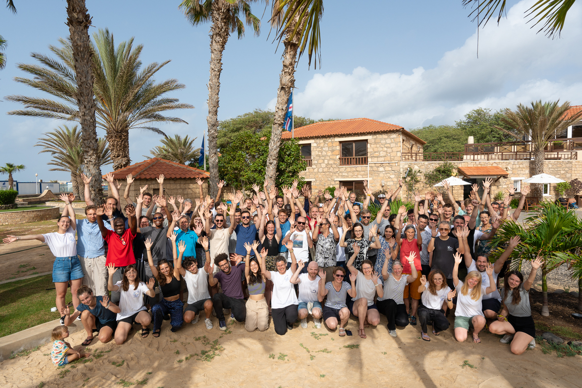
Fig. 12 Group photo of the participants on Sal. (Photo by T.Vostry)#
CLARINET-02#
by Henriette Gebauer
It is time again for an update from CLARINET and greetings from Mindelo. Since the Meteor left and all the others relocated to Sal, it feels quite empty here. The fact that Meteor started its trip means that the containership finally arrived. However, we are still waiting for our container, which is in the harbor of Mindelo since weeks and needs to be transported to the OSCM. This process is still ongoing as documents are missing and the responsible persons were on vacation. So, we continue waiting.
During the last time, there were some days with rain at Mindelo and, generally, it is often cloudy. These are not optimal conditions for our lidar measurements, but for the cloud radar. However, some short cloud-free periods around some EarthCARE overpasses could be found and we also started to analyze our data for the periods of the different aircraft overflights. Comparisons with the data of CELLO and PERCUSION are already in progress. First preliminary results were presented in the science meetings last Friday and Sunday.
Furthermore, this week, the last crew change at Mindelo takes place and leads us to the final phase of CLARINET. We will keep you updated!
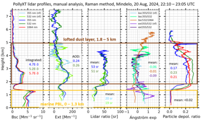
Raman lidar profiles for HALO-20240820a. (by TROPOS)
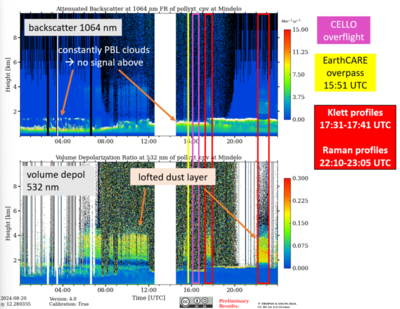
Case study for HALO-20240820a. (by TROPOS)
#T23#
Day off.
#T22#
It’s the 1st of September. Just 24 days to go before RV Meteor - BOWTIE, PICCOLO and STRINQS - arrive in Barbados, ten days for MAESTRO and CELLO to continue their missions, five days before PERCUSION moves to Barbados and when SCORE will join them. CLARINET and SONATA continue as usual.
Today we spent 2.5 hours before lunch looking at Quicklooks and discussing preliminary results. The session was intense and we went over time, but in the end it just showed the amount of work that has been done in the last three and a half weeks of the campaign. We had 19 different presentations, ranging from small videos showing the rise of a deep convective cell, to highlighting events of specific flight days, to categorising flight missions under different aspects. For the moment, the presentations are stored and accessible here. Imagine what more will be discovered when people actually have time to look at the data.
Besides quicklooks and preliminary results, some have started to set up or improve workflows for data processing, e.g. for dropsondes using the pydropsonde package or a way to how to process HAMP - the radar and radiometer we have on the German aircraft.
#T21#
Remember the idea that came up in the #T14 post? To create an acronym for the radio sounding team? People took it up and the brainstorming went on and on, ending up with SONATA - Sounding Observations of the North Atlantic Tropical Atmosphere.
A really apt acronym, especially as it encompasses all sounding measurements - ascending and descending, dropped from an aircraft or lifted by a balloon. A sonata played by almost all the components of our ORCESTRA.
The rest of the campaign followed a familiar rhythm. All the moving platforms were well orchestrated. RV METEOR swam along the EarthCare track, where HALO could overtake it, and then arranged a tandem flight with ATR, guided by KingAir. The latter two aircraft flew underneath the German aircraft, taking in-situ measurements of aerosols and clouds, after it had come back into range from sampling a rather narrow ITCZ.
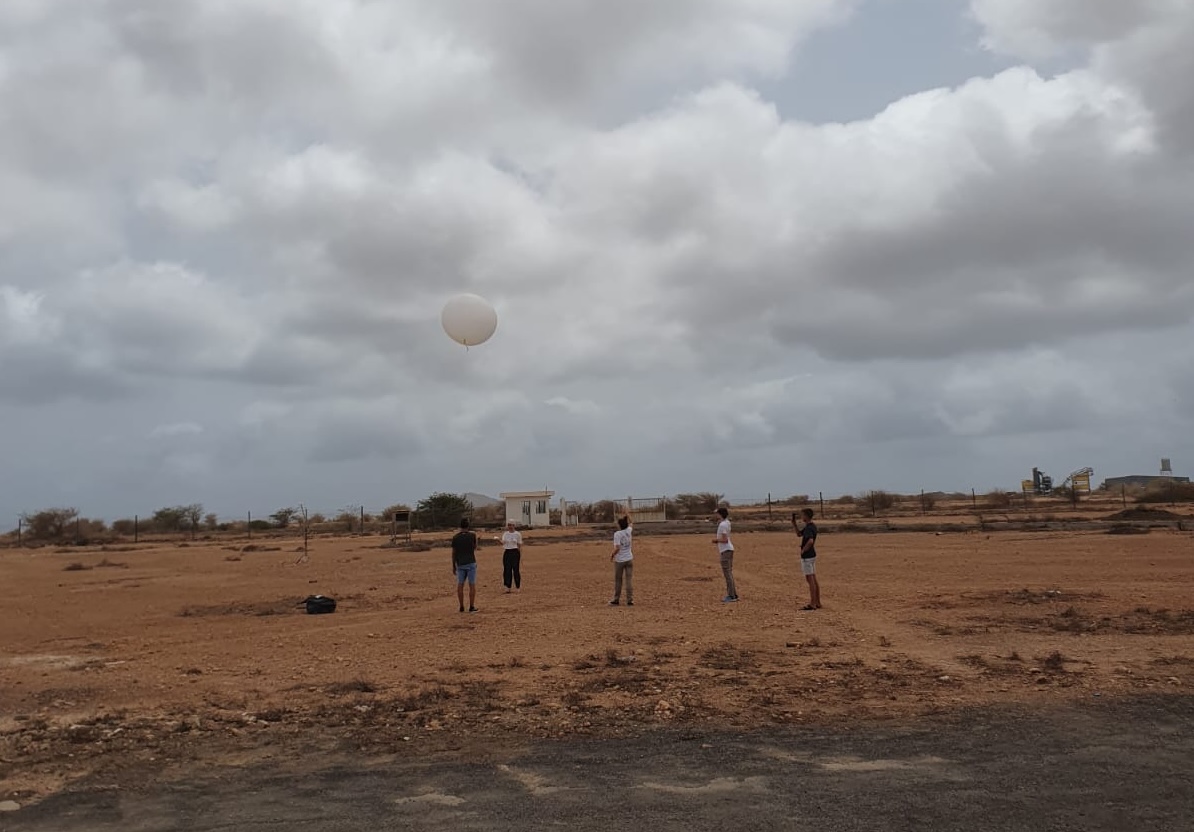
Fig. 13 Launching radio sondes. (Photo by MAESTRO)#
Special#
The dance of the ensemble lines - Ingenious system or pure chaos?#
Sequence of images showing the IFS ensemble forecast for the integrated water vapor. Credits: L. Kluft
#T20#
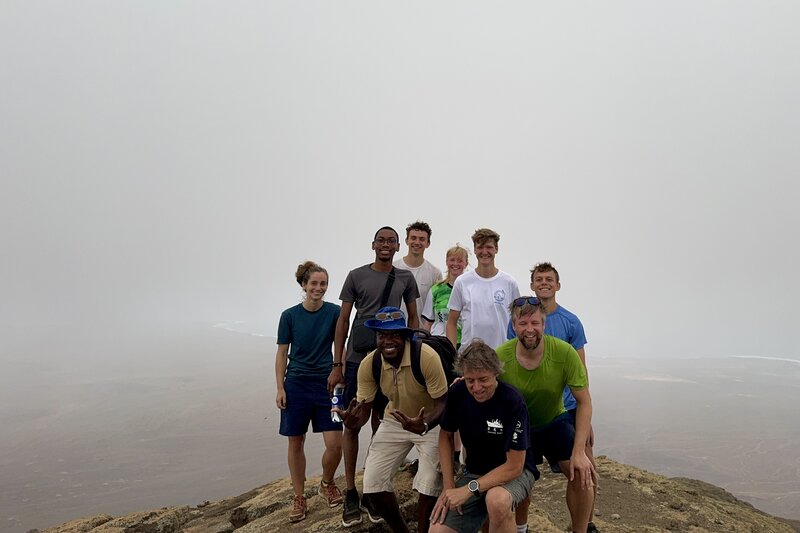
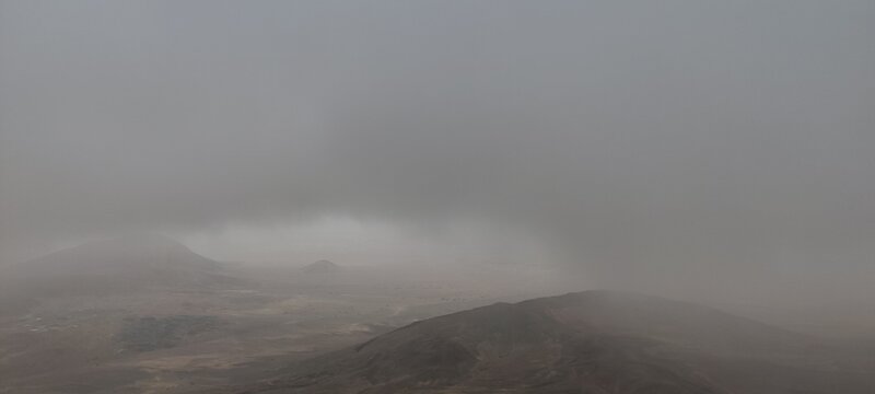
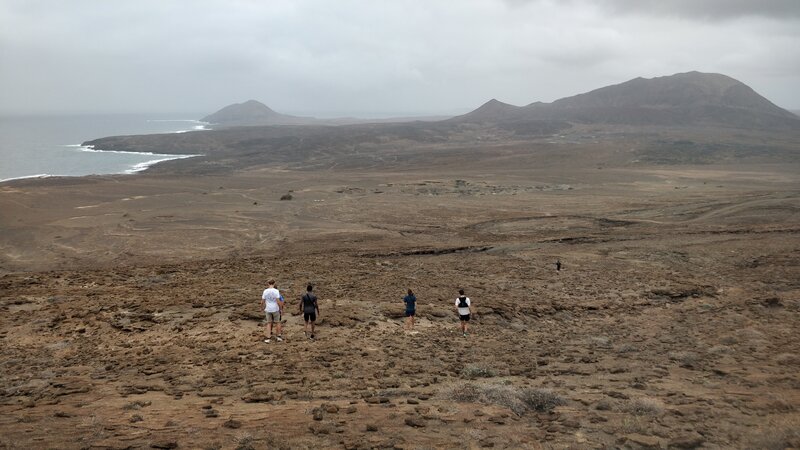
It’s 4.45am. Nine brave souls met at dawn in the wooden lobby, equipped with nothing more than what they were wearing. Their mission: To climb the highest mountain on the island: Monte Grande, with its impressive height of 405 metres. Their aim: to catch the sunrise over the island.
The day was chosen wisely - or not. They managed to reach the top of the mountain, and fortunately there was no heat wave when they embarked on this adventure. But instead of achieving their initial goal, they have witnessed an even more spectacular phenomenon as the sky over Sal brightens: rain.
For the less early risers among us, the day started as usual: with breakfast and the morning briefing, followed by a scientific seminar where Louis Netz introduced us to the method they use to identify cells in deep convective systems and how diverse the spatial organisation within the system can be. Some members of the CLARINET team joined us online and presented their preliminary results, where they have captured dust layers of different ages, partly covered by clouds, with Polly - their Raman lidar.
The CLARINET presentation was a nice teaser for what is to come: The seminar in two days, where different groups will present their preliminary results and attempts to answer some of the scientific questions they have faced during the course of the campaign and beyond.
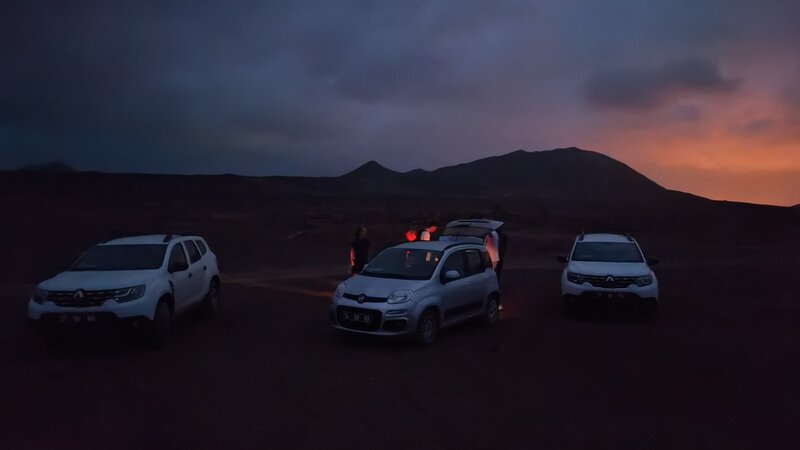
(Photo by K.Peters)
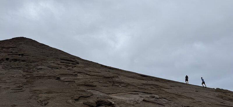
(Photo by B.Stevens)
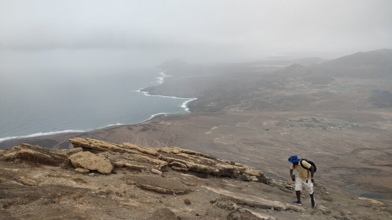
(Photo by C.Bayley)
(Photo by B.Stevens)
(Photo by J.Deutloff)
(Photo by C.Bayley)
#T19#
Cloudscape Symphony#
based on N. Rochetin observations while flying in HALO and put in shape with ChatGPT
Cirrus whispers above,
Deep towers rise to our left,
A skyline stretched, distorted,
Towers bending in zigzag shapes —
A surreal dance, a privilege to witness.
The sky, sliced by delicate veils,
Thin layers of cloud,
Altocumulus drifting, slicing light.
Below, cumulus lines pop,
Scattered villages lost in the vast ocean.
Far on the left, a clear line —
A shallow cloud horizon, fantastic,
While a CuNimb looms closer at ten,
Well-developed, brewing on the edge.
Orographic clouds crown Cape Verde’s edge,
An anvil fading, memories above Praia.
For now, the sky is clear,
The ocean gazes up at us from below.
But there, at eleven, deeper clouds gather,
And moisture thickens as we approach.
The sky shifts, telling its story —
A journey through layers of atmosphere.
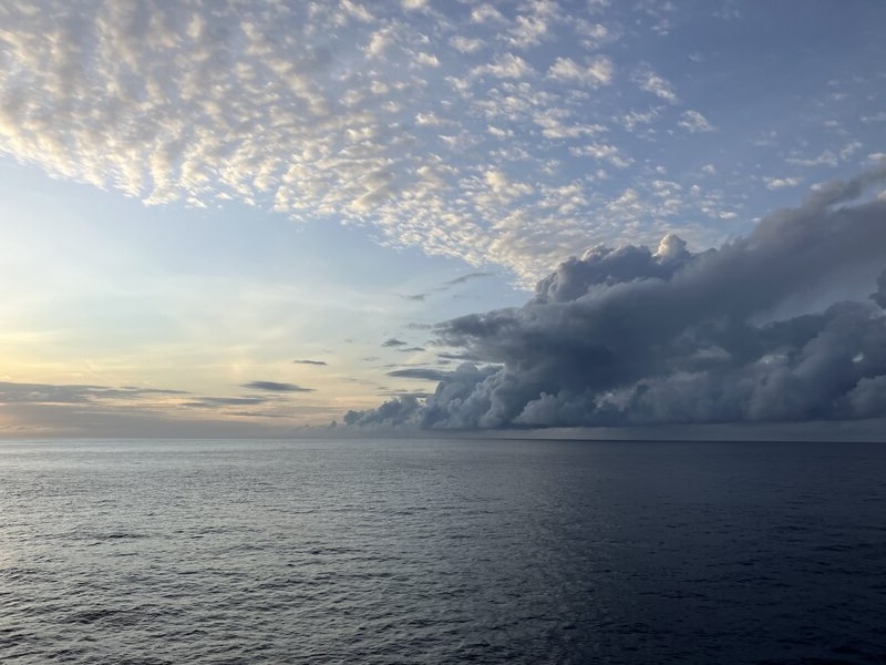
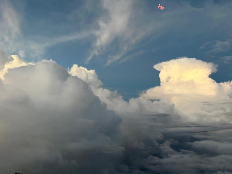
Fig. 14 Above the clouds – below the ocen. (Photo by J.Ruppert)#
#T18#
Day off for the planes.
But before I close my laptop and take my day off under the burning sun and clear skies to prepare myself mentally for our beach volleyball tournament in the afternoon, I have to shout out the biggest success of the day: STRINQS came on board the RV METEOR! Without any complications, the team and the drones were towed by a tugboat to the research vessel waiting in the sea near the island. To show their goodwill, the STRINQS team even brought fresh bananas on board - so dear RV METEOR crew! Enjoy your day and celebrate this reunion!
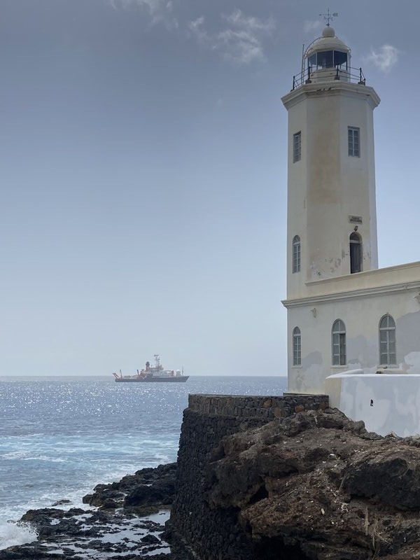
Spotting RV Meteor from Praia. (Photo by R.David)
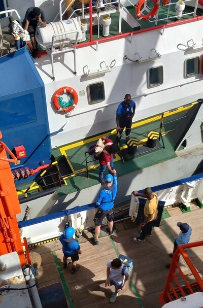
Welcome on board of the RV METEOR, Team STRINQS! (Photo by D.Klocke)
#T17#
I don’t have too much to blog about today, as the routine that has settled in makes it sometimes difficult to get excited every day, or to keep the enthusiasm at the same level. But that’s OK. Sometimes days just go by without any big events. We alternate between flight days and ground days. And you know when it’s a flight day without looking at the calendar because the rooms are less crowded, while on a ground day almost everyone is there and it’s hard to find a place to work without cuddling with the neighbour - I’m exaggerating.
Anyway, sometimes it’s a blessing in disguise. As the drones arrived very late and RV METEOR decided to change course and head back to the Cape Verde Islands to board STRINQS, we had a rare opportunity to coordinate across all the moving platforms: EarthCARE, HALO, ATR, KingAir and RV Meteor. Even the whales joined in, circling the RV Meteor in the ocean…
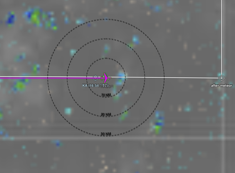
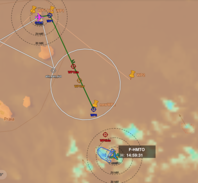
HALO (pink plane) flying over RV METEOR (green arrow) visualized on PLANET.
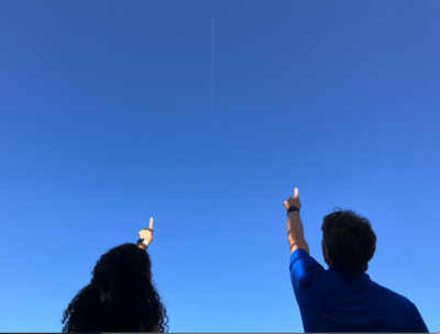
Spotting the HALO contrail from the RV METEOR. (Photo by J.Ruppert)
KingAir spotting RV METEOR. (Photo by T.Carlsen)
Whales joining the coordination. (Photo by D.Austen)
#T16#
Today was a very successful flight day for MAESTRO! The initial flight track was designed to sample conditions behind the African Easterly Wave Trough. However, when they spotted some deep convective systems in reach, ATR decided to change their flight and left the originally planned track to follow the deep convective system to sample its development while flying around it. Judging by their reactions and expressions later that evening, they were very excited and it seemed to be one of their biggest successes so far.
After this very successful day for MAESTRO, the previous SAFIRE crew is leaving with a big smile on their faces, while the new crew will build on this achievement and will embark on the next ones highly motivated.
On a more general note, we have new guests from the Agence Nationale de l’Aviation Civile et de la Météorologie (ANACIM) in Senegal, who will be staying almost until the end of the MAESTRO part of the campaign to engage with their objectives. Today’s scientific seminars were given by our two guests from the University of Leeds and two others from the CIMH in Barbados: Ezri Alkilani-Brown is quantifying graupel in deep convective clouds, while Paula Romero Jure is investigating the physical drivers of the radiative effects of high clouds in the tropical Pacific. Chavez Pope showed us the ongoing catalogue of severe weather events for the Caribbean, while Daniel Row is investigating the relationship between SST and tropical waves in the main development region.
ATR went off course. (by E.Fons)
Look out of the ATR. (Photo by G.Seurat)
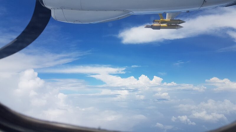
Look out of the ATR 2. (Photo by S.Bony)
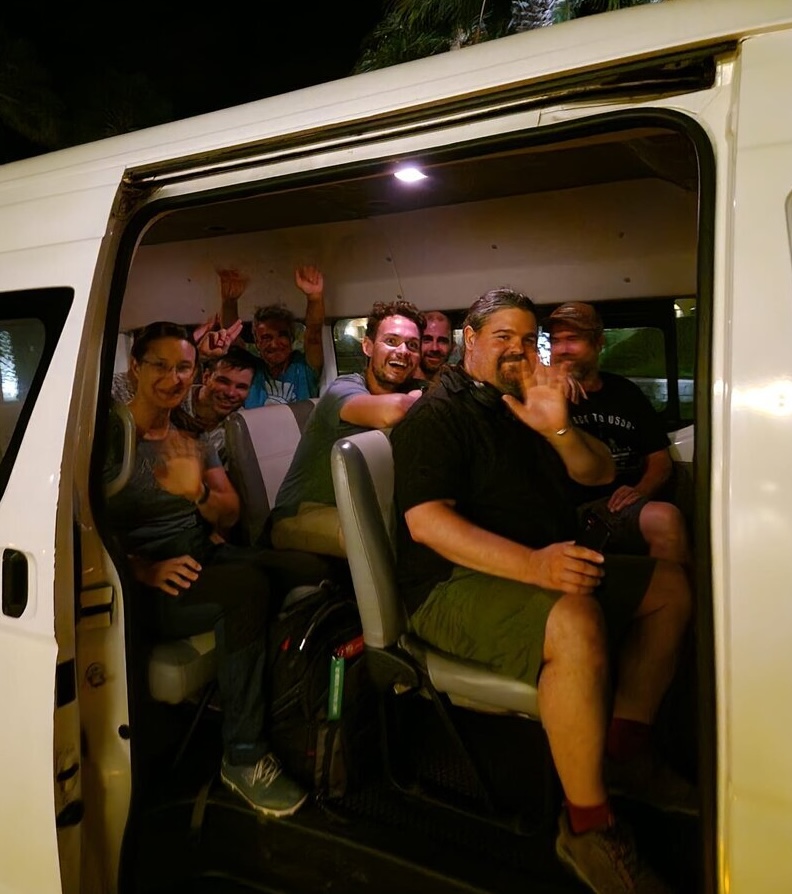
Farewell to the first SAFIRE team. (Photo by E.François)
#T15#
First Impressions: Operating HAMP and Flying in HALO#
written by Clara Bayley
I was first introduced to HALO at DLR for training before the transfer flight to SAL. Superficially, I liked the disconnect between the outside of the plane, which barring the unicorn horn looks like a private jet, and the inside, which looks something more like the inside of an American war plane in Vietnam War films. During the training though the sheer density of scientific instruments aboard HALO started to become apparent to me. In two days I learnt only the absolute essentials, and even then only about the radar, radiometer, and the dropsonde apparatus. Yet the complexity of each instrument went well beyond me and I felt like a kid again, following instructions from the manual word for word and needing to ask for help at the very first moment of doubt.
I had my first experience flying on HALO during the transfer flight to SAL. To be honest it wasn’t all that climactic because I barely needed to do anything! I’d learnt the basics in order to be able to operate HAMP but I was the second (if not third) person on the plane who was in command of it, and so really all I did was watch the others and read my book. It didn’t help that we barely flew over any clouds that entire flight…
As it turns out though, there couldn’t have been a better induction for me. At the last minute I was made the primary operator of HAMP on the first research flight and having so little experience I was naturally worried I might destroy one of the instruments and/or delete all the data by accident (two things which are, as I’d discovered during the training, surprisingly easy to do). But from watching the other members of the transfer flight, I’d picked up a few of the “tips and tricks” which make everything smooth and which no amount of training or manual reading can teach you. These things range from wearing long socks so you’re ankles don’t get cold all the way to what to name the folders for the radiometer data after each flight.
By the great knowledge of those more experienced than me and a touch of good fortune, the first research flight was a great success. For me that wasn’t only because I’d done my job correctly but also because I’d started to learn more than just how to run the instruments I was assigned. I’d seen first hand the radar echos which flood the screen during deep convection, and what shallow precipitation and the melting level usually look like; I’d seen as well how the retrieval for column water vapour surged as we flew across the northern edge of the ITCZ. Those were some of the most fulfilling moments during my first experiences on HALO and I’ve only had more since.
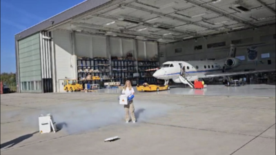
Holding the liquid nitrogen used to calibrate the radiometers aboard HALO while on training at DLR. (Photo by E.Plesca)
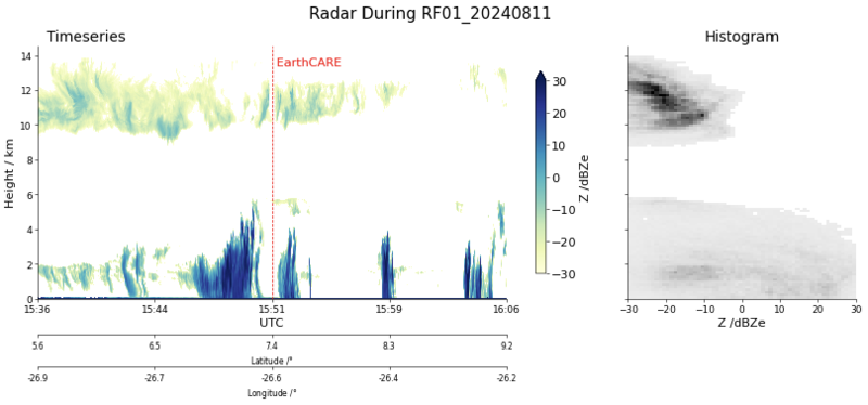
The radar reflectivity during the first research flight 15 minutes either side of the EarthCARE underpass.
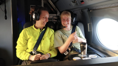
Laughing as usual while on the sixth research flight. (Photo by B. McKim)
#T14#
Today I visited the MAESTRO Radio Sonde (RS) team as they launched their balloons at the local meteorological institute, INMG.
Looking back, I think the Radio Sonde team(s) should have had their own acronym. They are such a huge asset across all platforms:
Members of MAESTRO, with some support from PERCUSION, launch RS every six hours on Sal without a day off. When HALO is flying, they even increase the frequency. Members of BOWTIE launch RS every three hours on their entire route across the Atlantic. And later in the campaign, PERCUSION/SCORE, supported by PICCOLO, will launch RS in Barbados at a frequency of six hours. Maybe something like HARP (High Ascending Radiosonde Profile) or BASS (Balloon Ascends Sonde Signal) would fit - it’s really complicated to find a suitable instrument with a reasonable description…
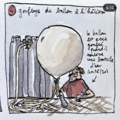
While I was fascinated by the RS team’s use of a water bottle to estimate the amount of helium needed to fill the balloon - a very simple but very effective hack! - there was a meeting in parallel where the teams were talking about the scientific impetus and what they had observed so far. For example, why the observed precipitation water does not match the integrated water vapour, or why there were hardly any mesoconvective systems in the ITCZ, and some were surprised by the amount of dust in the ITCZ. Let’s hope that some answers or explanations are hidden in the huge amount of data collected.
The evening was accompanied by an open-air screening of a film about the local fishing community at the port of Palmeira, a town just north of Espargos - the largest town on Sal. The setting for the open-air screening was kept simple: Between the storage shed and the fishermen’s workplace, we set up some plastic chairs borrowed from the snack bar next to the shed. The projection was onto a white sheet attached to a mesh wall that separated our screening from the snack bar TV. The two short videos shown were about the life and work of local fishermen in the Cape Verde Islands. The audience consisted of a few of us, some fishermen and curious locals. A discussion between some scientists and some fishermen followed the screening.
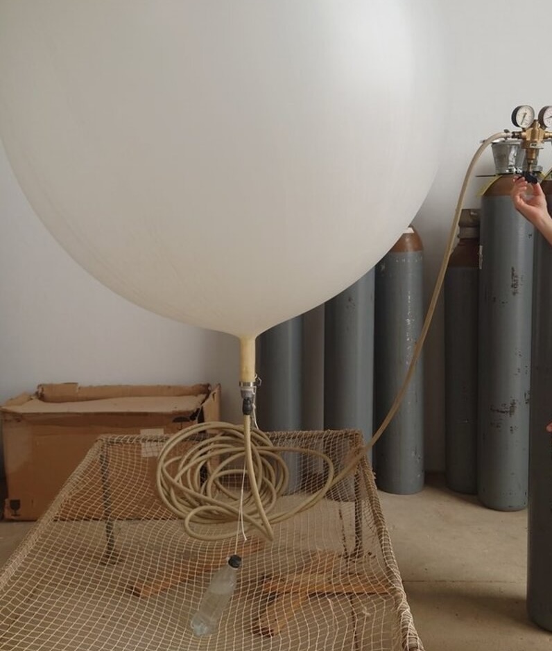
Filling the radio sonde balloon.
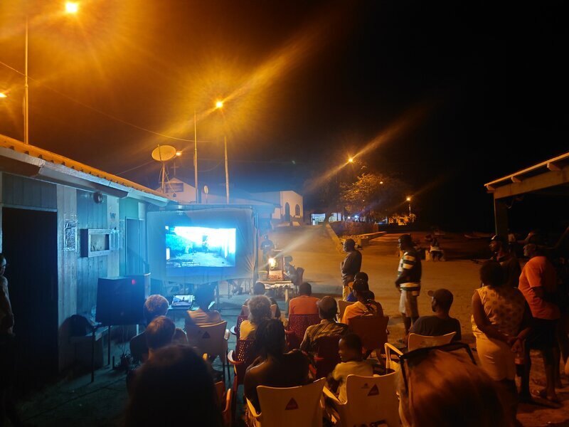
Open-air film screening.
#T13#
This morning began in a rather unusual way, with the building of a large sand castle. It was the last day that we had three toddlers on Sal at the same time. So the opportunity was taken to strengthen the bond between the toddlers, and some of the adults helped to build the castle out of a mixture of sand and water with a few buckets and their bare hands. But to be honest, I think the person who came up with this idea just wanted to build a sand castle for himself and used the toddlers as an excuse. After this extraordinary morning, the third science seminar was on the agenda. This time, Martin Singh from Monash University, Australia, introduced us to his project on ITCZ edge intensification from the perspective of simplified modelling and how he could use the campaign data for his work. Basile Poujol from LMD/IPSL in France presented his PhD project on convective clouds and how considering them as dipoles could explain the near-cloud subsidence.
In the afternoon I went to the airport, accompanied by a photographer who will be capturing and documenting parts of the campaign over the next five days. We’d invited the local airport staff from Cabo Verde Express to visit the French and German planes today, to give them an insight into our research and what the integrated instruments are measuring. The invitation was well received, with more people attending than expected. In the end, almost 20 people came. Luckily we had two aircraft to present, otherwise not everyone would have been able to see the full range of each aircraft. This also gave me the opportunity to take a look inside the ATR, which has a completely different layout than the HALO. To enter the ATR, you have to use the rear door and when you look inside the aircraft, the right-hand side is almost built up with instrument racks. There is even less room to move around than in the HALO. Originally, the aircraft was designed to carry up to 40 passengers, but due to the amount of instrumentation for this campaign, the seats are limited to seven scientists.
RV Meteor had reached the southern edge of the ITCZ and would begin turning north later in the day. By the way, if you are curious about the measurements taken on the ship, here are some sources:
#T12#
It’s the twelfth day of the campaign and the first time all three aircraft have been in the air at the same time. The HALO flight was again ambitious. Five circles were flown - three circles to capture the ITCZ and two in coordination with the ATR - plus a turn to Mindelo to fly over the OSCM. The EarthCARE flights were well coordinated with ATR and KingAir near Praia.
We also have something new on the website: LAMs! These “limited area models” are daily hindcasts of the atmospheric conditions simulated by R. Fiévet, L. Linardakis and L. Kornblueh (MPI-M) with ICON. The simulation covers the campaign area (64W-8W, 4S-24N) with a horizontal resolution of 1.25 km. More information and the simulated animations are available.
But the biggest news of all is that there is a chance for the STRINQS comeback! The drones finally(!) arrived in Mindelo a few days ago. The team waited there, not giving up hope of being able to join the campaign. And the wait has paid off! RV METEOR is currently steaming towards the southern edge of the ITCZ, but will then turn north towards Praia to pick up the STRINQS team and some spare parts for SEA-POL. In the meantime, the ship has started its own scientific discussions and has already deployed over 50 radio sondes.
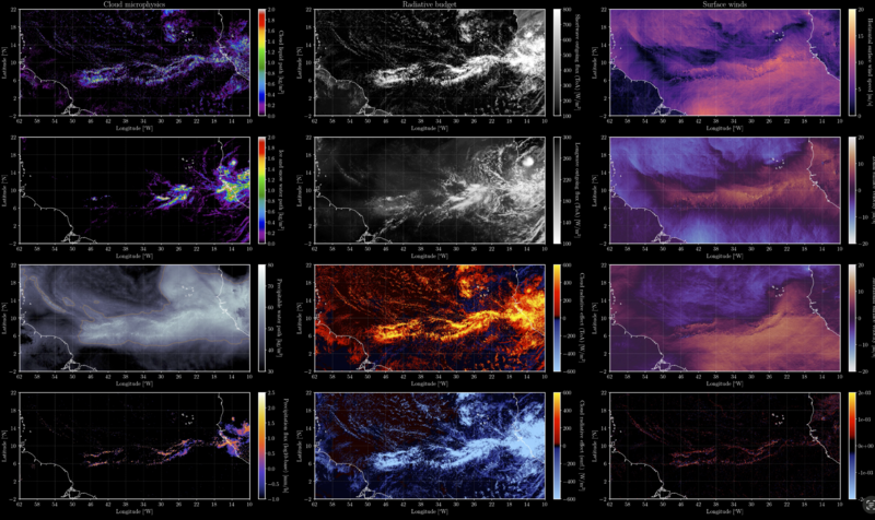
Fig. 15 Example screenshot for a LAM simulation.#
#T11#
All about radiosondes#
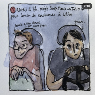
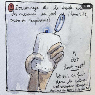
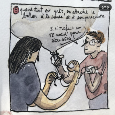
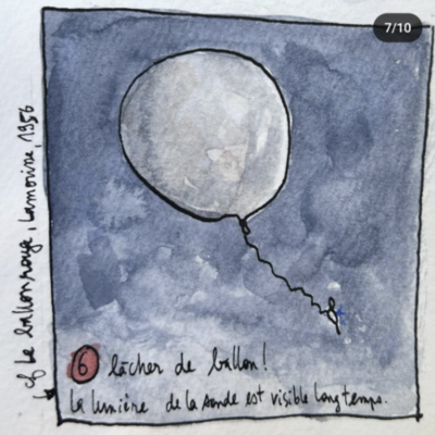
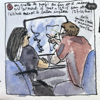
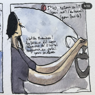
Rather than write about the ship or the aircrafts again, I would like to focus on an incredible talent among us. Enora Le Gall, part of the MAESTRO team, draws a comic strip describing the work of a radiosonde launcher. The launch of a radiosonde on land is regularly scheduled on a 6-hour frequency. On certain flight days, the frequency is increased to 3 hours.
Without further ado, here is the story about “All about radiosondes”:


The english translation can be found here.
#T10#
PERCUSION is still waiting for the spare part to arrive. Until the battery for the emergency lighting is replaced, HALO is restricted to daylight operations. It was decided to cancel the planned EarthCARE under flight for today and replace it with a day off instead.
However, the ATR-42 completed its flight, meeting EarthCARE northwest of SAL. KingAir also completed its second mission flight, including a spiral ascent, meeting EarthCARE and coordinating with ATR.
After five days at sea, RV METEOR positioned itself along the EarthCARE orbit. Details of their daily oceanic and atmospheric measurements can be found in their reports. Later in the evening, an icebreaker event was organised to allow the scientific and ship’s crew to connect outside the workspace.
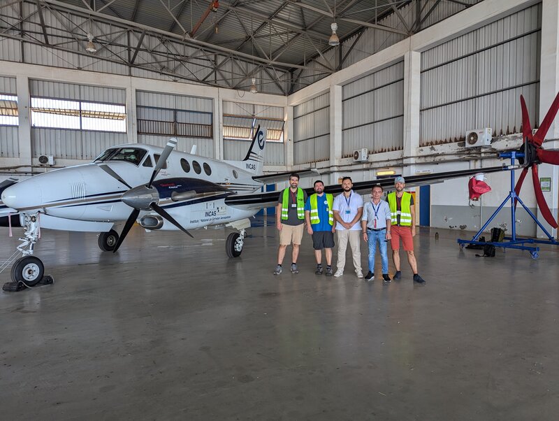
Fig. 16 CELLO in Praia. (Photo by J. von Bismarck)#
#T9#
More or less I have the feeling that a routine is beginning to set in. We start with daily morning briefings, and you can tell the difference between ground days and flight days by the number of seats filled.
From today we welcome four new students who will be with us until the beginning of September. Two students from the Caribbean Institute for Meteorology and Hydrology (CIMH) in Barbados have made the long journey, as have two PhD students from the University of Leeds in the UK. The former are interested in tropical waves and cloud aggregation, the latter in microphysics and cloud feedback. They will be joining us from now on, looking at the data and helping the MAESTRO team launch the radio sondes.
Today we also had our second science seminar with two talks. Marius Rixen took us into the world of cloud halos, what they are and how they differ between shallow and deep clouds. Clara Bayley on the other hand gave us a brief introduction to the super droplet model called CLEO and how it can be used to study rain evaporation as an example of looking at cloud microphysics.
RV METEOR continues to launch its radio sondes at 3-hour rhythm and is on course to meet HALO for its next flight.
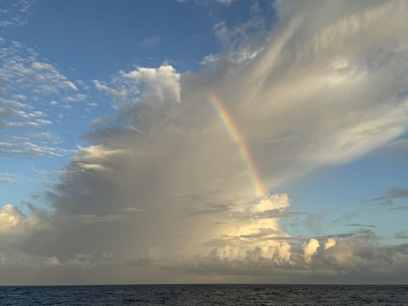
Fig. 17 (Photo by A.Wing)#
Visit of the WASCAL students#
written by Khevine R., Patience A. M., Hannah D., Joachim L., Nogaye D.
From August 11th to 17th, 2024, we the WASCAL Cabo Verde Students had the incredible opportunity to participate in the OCESTRA field campaign, an experience that was as enlightening as it was exciting. Coming from diverse backgrounds with little knowledge of meteorology, we were eager to dive into this new field, and the welcoming atmosphere made it all the more enjoyable.
The campaign introduced us to the fascinating world of radiosonde. We learned how to launch a radiosonde, a crucial tool for measuring atmospheric parameters and, more importantly, how to interpret the data it collects. This was no small feat, but the patient guidance we received made the learning curve much smoother. The practical sessions were complemented by in-depth theoretical discussions, ensuring we grasped the processes how and why.
Throughout the campaign, we were kept in the loop through daily weather briefings. These sessions updated us on the progress and challenges of the campaign and gave us insights into the weather patterns we were observing. During a mini-symposium that was held, we got the chance to speak about the WASCAL program and share our research interests with the team.
The highlight of our experience came on the last day when we were entrusted with delivering the weather briefing ourselves. This was a testament to how much we had learned in such a short time, and it was incredibly rewarding to see our newfound knowledge in action.
As if that wasn’t exciting enough, we also visited the German aircraft (HALO) involved in the campaign. Stepping inside, we were shown the sophisticated instruments used for data collection, giving us a glimpse into the high-tech side of meteorology. In the end, this field campaign was more than just a learning experience it was an adventure that expanded our horizons and deepened our appreciation for the complexities of weather science. We left with new skills, new knowledge, and a renewed enthusiasm for the journey ahead.
We would like to warmly thank the entire OCESTRA team for the opportunity they provided us to learn and deepen our understanding of atmospheric sciences. Thanks to you, we now have a clearer and more enriching perspective on this fascinating field.
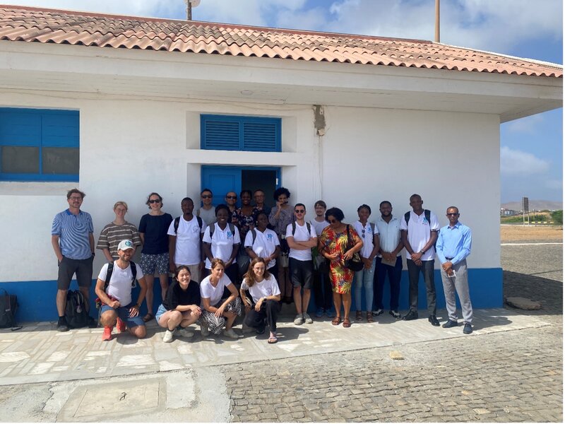
Group photo after the mini-symposium. (Photo by K. Anonymous)
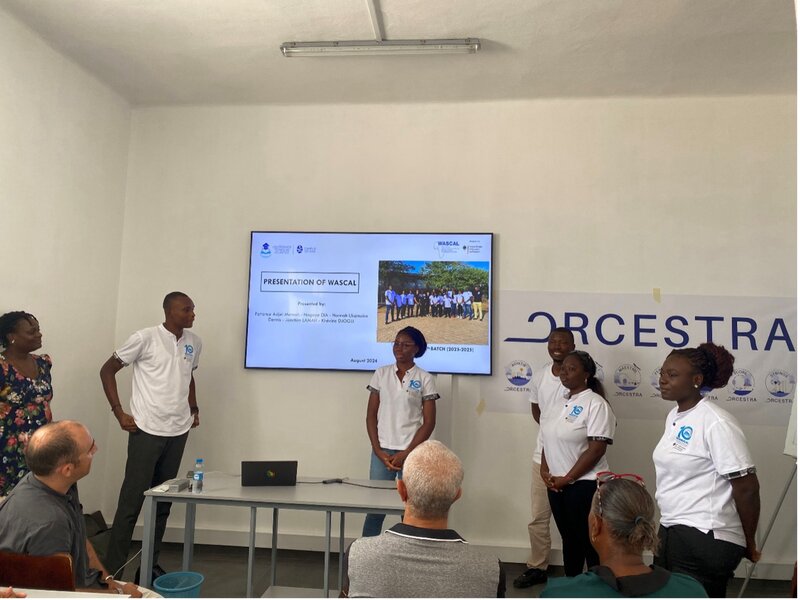
Presentation of the WASCAL program. (Photo by P.Peyrille)
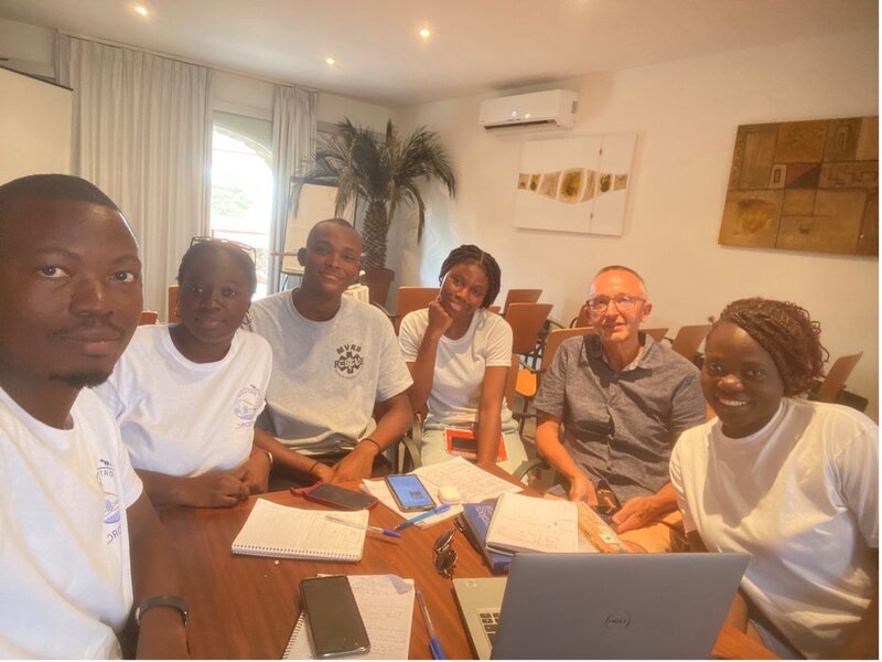
Learning about the MAESTRO weather briefing. (Photo by J. Lamah)
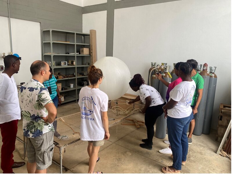
Preparing the launch of a radio sonde. (Photo by K.Djogli)
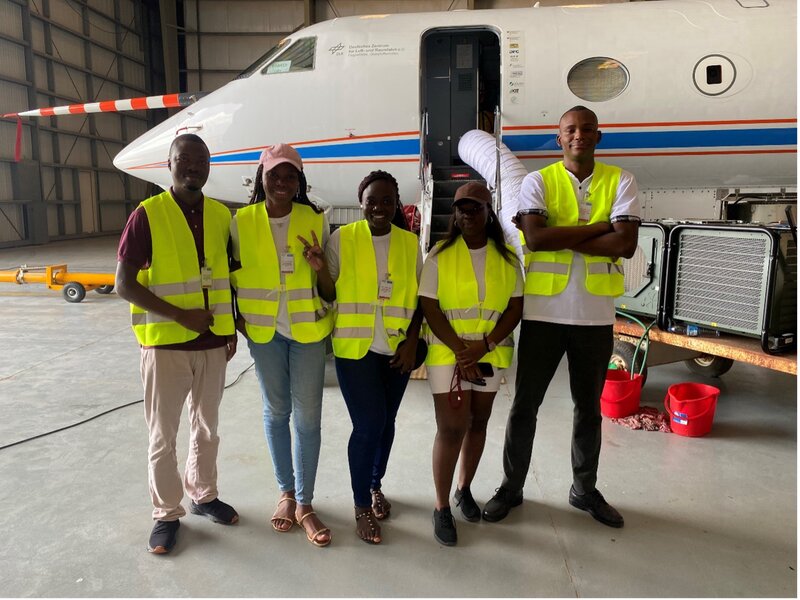
Visit of the german aircraft HALO. (Photo by K. Anonymous)
#T8#
Today was the fifth flight for HALO, seven for the ATR and one for the KingAir. RV METEOR has covered almost 400 miles so far (if my calculations are correct) and is continuing her journey south, aiming to lay in one of HALO’s circles on her upcoming mission.
The sea remains rough and some of the scientists are still suffering from sea sickness. The forecast for the journey is to remain choppy - let’s hope those affected either get used to it in time, or else the cruise ahead is going to be a lot more challenging than just being stuck on a swimming steamer.
Not only did our fellow ship crew have a tough time, but today’s mission flight was more turbulent than expected. ATR even cancelled their flight due to the challenging conditions. There was some really deep convection, with cloud heights of over 15km - higher than HALO can fly. But we were lucky. We were able to follow the flight track as planned with some minor adjustments. The images and what the instruments picked up should be very interesting, at least for some of them. For other instruments the conditions were probably less ideal. Not only were the convective conditions remarkable today, but so was the flight. Today’s PI mission included a special manoeuvre in addition to the usual pattern: A double pirouette, nicknamed the Mayer pirouette.
The first Quicklooks had already been created by the instrument operators and can be found in the flight reports. Quicklooks for this flight will follow soon, hopefully capturing some of the excitement the crew felt during the flight.
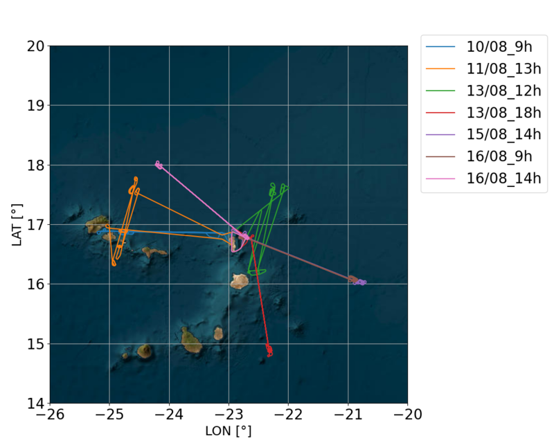
Past ATR flights in one. (Photo by N. Maury)
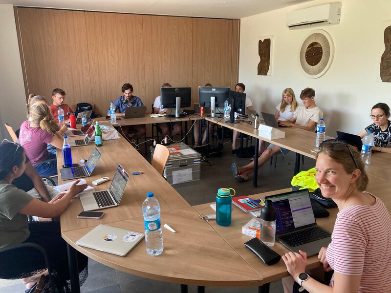
A day at base. (Photo by R. Vogel)
#T7#
Today I accompanied the WASCAL students to the airport to visit the ATR and HALO. When we arrived at the airport, we had to walk quite a distance to get to the research aircraft as they are placed some distance away from the usual tourist air traffic. The WASCAL students seemed to enjoy the guided tour, where flight operations introduced them to the general aspects of the aircraft, followed by scientists on site giving them some insights into the instrument. In parallel, a ground day is used to work on the instruments and prepare them for the next mission. So far, the instruments have only experienced minor problems, which are known issues and will be dealt with as the campaign progresses.
During the last mission flight, the battery in one of HALO’s emergency lights failed. Luckily not a big deal. The replacement has already been ordered and will hopefully take less time to arrive than the containers or airfreight from the ship.
The RV METEOR made its way to a Pirata buoy at 11.5N 23W and started deploying oceanographic instruments. oceanographic instruments. The radar continues to focus on convection. The sea seems to be quite rough with winds at 25 kt and some of the scientists are struggling with sea sickness. However, the conditions don’t keep the tougher ones from fishing.
The data server is up and running. Connected to the local network, the scientists can now access the data from the first flights. This leads to the next stage of the campaign: Data processing and the creation of the first Quicklooks.
Catching dinner by the Pirata buoy. (Photo by D. Klocke)
ITCZ at sea by night. (Photo by J.Ruppert)
#T6#
It is almost unbelievable that RV METEOR is finally leaving after being stuck in Mindelo Bay for almost a week due to logistical delays. The scientific crew moved into their cabins on the ship six days ago, slowly getting used to their new surroundings and getting to know their cabin mates. Perhaps the delay was not so bad all in all, as it gave the crew a chance to enjoy the solid ground a little longer before they were trapped on a floating giant, surrounded by water, currents and more water for the next 40 days. The research vessel left Mindelo Bay at 6:00 LT to head out into the wide Atlantic Ocean. At 19:00 LT they passed Ilha do Fogo, one of the southern islands of Cabo Verde and probably the last mainland they will see for the foreseeable future.
Sadly, not everyone made it on to the ship. The drones were simply not delivered, and no matter how many considerations or scenarios they ran through, nothing seemed robust enough to secure the drones on board. So STRINQS won’t be making the voyage for now - but they will be with us in our hearts and who knows - the campaign has only just begun. Maybe a miracle will happen and there will be a way for STRINQS to join us later on.
Not only did BOWTIE and PICCOLO get an early start this morning, part of the PERCUSION team was up at 5:00LT to prepare the instruments for the HALO mission. The launch was delayed by one hour due to some technical problems. Despite the mission’s ambitious schedule, HALO was able to take a shortcut and successfully coordinate with ATR, who had two flights scheduled for the day.
In parallel, a mini-symposium was held at the INMG training centre as part of the student training. In addition to the presentations on ORCESTRA, the INMG presented its institutional work and the students themselves presented their areas of interest and the WASCAL programme. As special guests, some representatives of the Cape Verdean Biodiversity Association (Project Biodiversity) were invited and gave a presentation on how climate change is affecting the nesting of sea turtles on the islands. Interaction between the locals, scientists and students was encouraged over snacks and drinks. The training will end with a visit to the aircraft tomorrow, where the WASCAL students will get a glimpse of the operational side of the campaign: The story of the aircraft and its instruments.
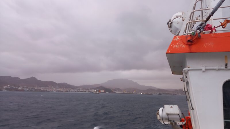
RV METEOR on its way to the open sea. (Photo by D.Klocke)
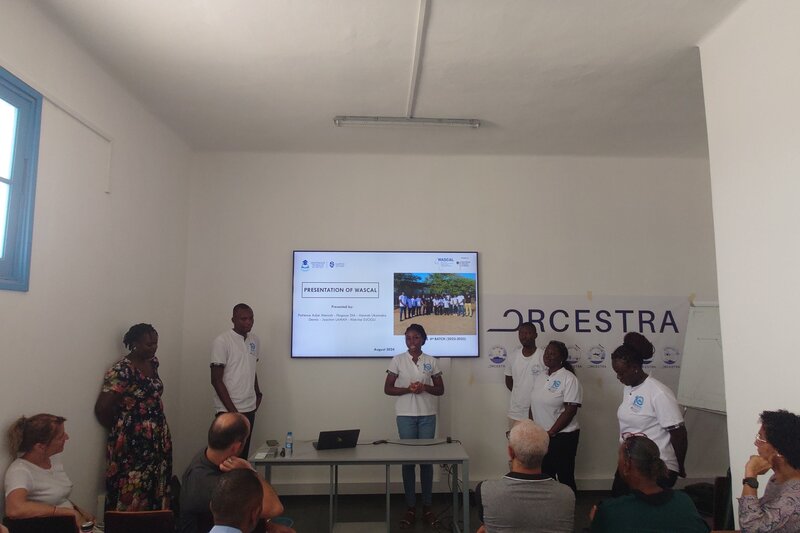
WASCAL students helding a presentation at the Mini-Symposium.
#T5#
Hello everyone, after a well rested day off yesterday I am back with some updates and insights from the campaign.
Activities during the day off varied from just hanging around and enjoying a relaxing day by the pool and sea, to others using the time to explore the island and enjoying Shark Bay or the Salinas, returning with a salty crust on their skin or new discoveries of where to go, what to see and what not to see or do. During the last update a few things happened in between:
The long awaited containers for RV METEOR finally(!) made their way to Mindelo and were unloaded late in the evening of 14 August. The RAMAN lidar was installed during the day so that the research vessel could set sail as soon as possible. In parallel, the crew on board set up a chain of people - both scientists and ship’s crew - to get the missing food on board in the most efficient way, as the ship is already quite packed with scientific containers. BOWTIE also successfully launched its first radio sonde in the harbor. Further launches on a 12h frequency are planned for now, but the frequency will increase once RV METEOR is at sea.
Although it was a day off for aircraft-related work, MAESTRO tried to troubleshoot the radio probe launches, as in the past they have had issues connecting to the sondes and losing the signal quite early. Apparently there are some frequency problems when launching close to the airport. When they tried to launch them elsewhere - away from air traffic - the signal remained as desired.
As for today’s flights, the ATR took off in the afternoon, flying their SAR underpass pattern. The KingAir - from the CELLO team - also had its first mission flight, arriving on the EarthCARE track on time despite some rack power issues.
As for tomorrow, HALO will have a flight of almost 9.5 hours, while ATR is planning two flights. KingAir will remain on the ground, aiming for a next mission flight on 20 August.
More for the general update, we’ve started the series of Science Seminars, where scientists from different groups will present their work and open it up for discussion and suggestions from other campaigners. As we have a visiting colleague from ESA, he introduced the broader EarthCARE campaign and how ORCESTRA fits into it. The second presentation was given by Nina Robbins, who introduced us to the topic of cold pools in the tropics and the appearance of cloud holes.
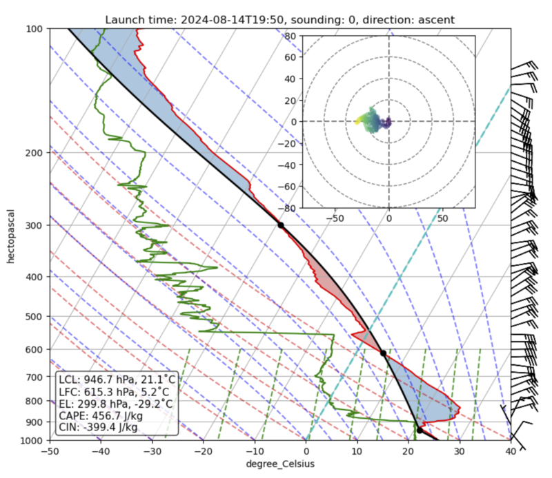
Test launching on RV METEOR. (Photo by H.Segura)
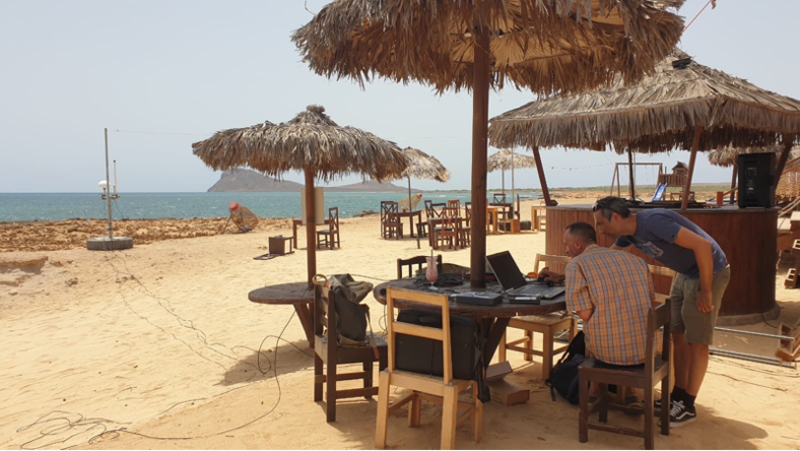
Launching radio sonde off-site. (Photo by JL. Dufresne)
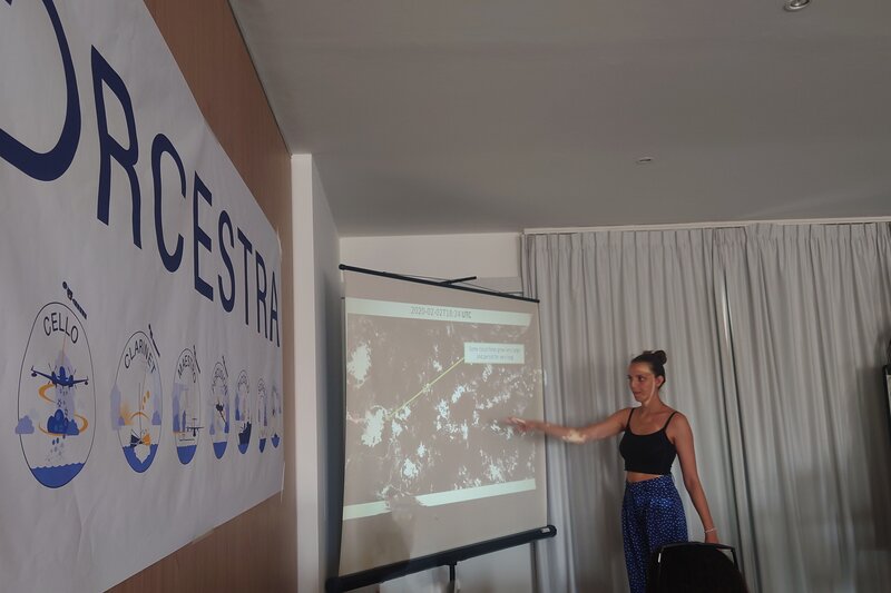
Nina presenting cold pools in the tropics and cloud holes.
#T4#
Day off.
#T3#
After the first days on Sal a few gathered to start the day with beach volleyball at 7:00 LT. We figured that a good time to do sport would be before 8:00 LT, before the sun heats up the surface - and combined with the comparatively mild humidity it is intolerable for any fast movements without melting like an ice cube…
It seems the mission PIs had a similar thought, as today’s flights were scheduled for later in the day, with the return well after sunset. The flights were ambitious: HALO had a 9-hour flight integrating five circles: the statistical circles north, centre and south of the ITCZ, plus two others coordinated with the ATR, which flew two flights - one for the EarthCARE underpass and the second for the SAR satellite underpass. Unfortunately, the INCAS KingAir had to cancel its planned flight due to cloud conditions not meeting the mission requirements.
And believe it or not but HALO and ATR manage to meet EarthCARE right on schedule, at exactly 15:42 LT—how remarkable!
Tomorrow, the airborne part of Sal will have a day off, with no flight-related work, allowing everyone to recharge and perhaps explore some of the hidden dirt of the island.
Although RV Meteor is still not moving, instrumentation is getting more complete: The WindCube has arrived and is installed. The only missing pieces are the drones for STRINQS, the RAMAN lidar and the food. Hopes are high that they arrive tomorrow.
At least the shipboard sub-campaigns were able to join virtually on PLANET - the software for real-time tracking and information exchange between passengers on board and the ground base.
So there will be no post for tomorrow, but stay tuned for more updates in #T5!
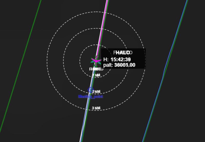
Virtual snapshot of HALO and ATR meeting EC right on schedule.
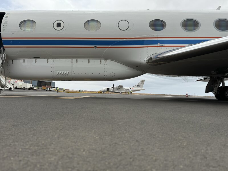
HALO overpassing ATR on ground. (Photo by B.Stevens)
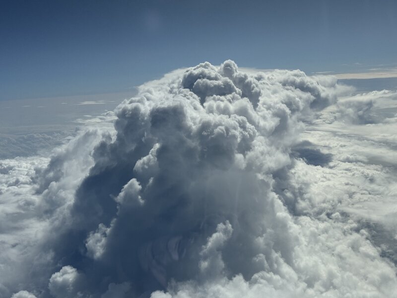
Deep cloud evolving. (Photo by B.Stevens)
#T2#
Today has been a fairly quiet day, with the HALO and ATR on the ground and the focus shifting to the planning of the upcoming flight days.
On a more encouraging note, the remaining two containers for PERCUSION finally cleared customs today, allowing us to get the equipment out and start unpacking. With the containers in place, our IT and data genius has begun installing the internal network, which will provide a more stable connection and later the ability to share data internally between the different teams.
The liquid nitrogen generator, which is required for the calibration of the HAMP radiometer, remains a cause for concern. At least it is somehow functional and producing the liquid nitrogen, albeit at a reduced capacity.
Bad news came today from the chief scientist of RV METEOR. The containers are now expected to arrive on 14 August, with the most likely departure date pushed back to 16 August. This delay is unfortunate, but we remain optimistic and ready to adjust our plans if necessary.
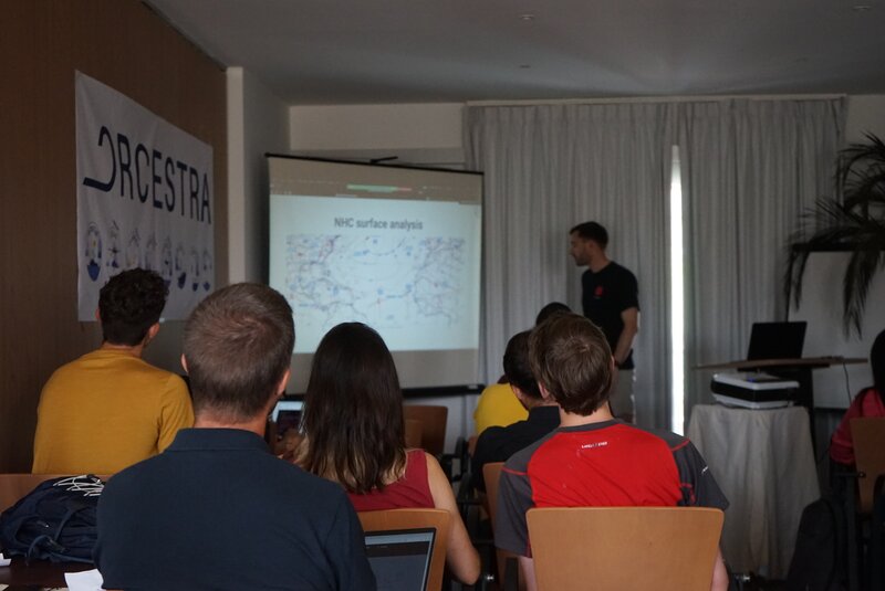
Morning briefing (Photo by J. von Bismarck)
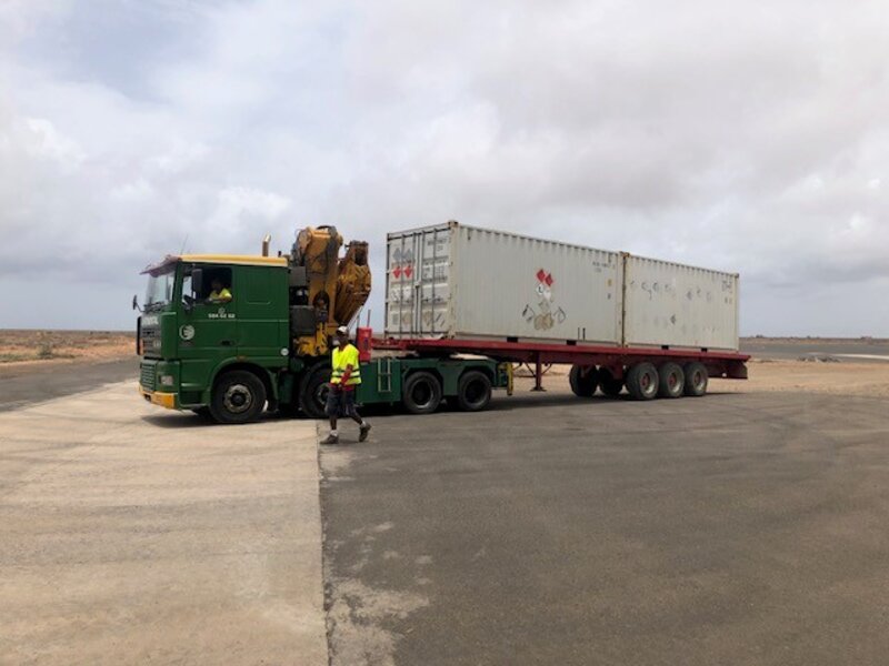
Container arriving for PERCUSION. (Photo by A.Minikin)
#T1#
Today was an important milestone in the ORCESTRA campaign as HALO completed its first research flight together with ATR.
The day started with the first morning briefing at 9:00 LT, where besides general announcements and status updates, the weather briefings for MAESTRO and PERCUSION were presented. The forecasts looked promising, showing that the edges of the ITCZ were actually quite close to where the climatology expected them to be. The flight plan for HALO, agreed 10 days earlier, was therefore surprisingly good.
We are welcoming several guests for this week: A colleague from ESA is visiting to co-ordinate the EarthCARE commissioning activities.
We will host five students from the WASCAL programme who will be trained by MAESTRO colleagues in weather briefing and radio probe launch. A mini-symposium will be held at the INMG training centre on Friday 16 August at the end of the training.
HALO’s first mission took the crew south across the ITCZ. All the instruments on board worked well and the dropsondes were deployed successfully. In the end, HALO even managed to fly a circle coordinated with the ATR west of Sal. After a nine-hour flight, HALO landed safely at Sal. The atmosphere didn’t disappoint, providing a variety of cloud types that were captured in some amateur photographs taken from HALO’s window.
In it’s second mission, the ATR flew their EarthCARE flight pattern, west of Sal, overpassing Mindelo again.
There is still no sign of the arrival of containers for our shipborne components BOWTIE, PICCOLO and STRINQS. While they wait, the crew are preparing for good coordination with HALO in the physical world by practising it in the virtual world.
The radiosonde team is still experiencing connectivity problems, sometimes losing contact with the sondes at altitudes of around 3km. The puzzling thing is that this has mostly happened during the day, while the sondes launched at night have mostly worked fine.
The ORCESTRA family is finally complete, as the INCAS King Air has arrived in Praia on Santiago Island, followed by the CELLO crew.
I am curious to see when the first coordination with all three aircraft will happen…
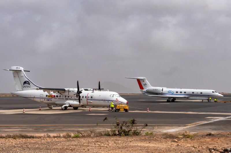
HALO and ATR on the ground before their flights (Photo by A. Minikin)
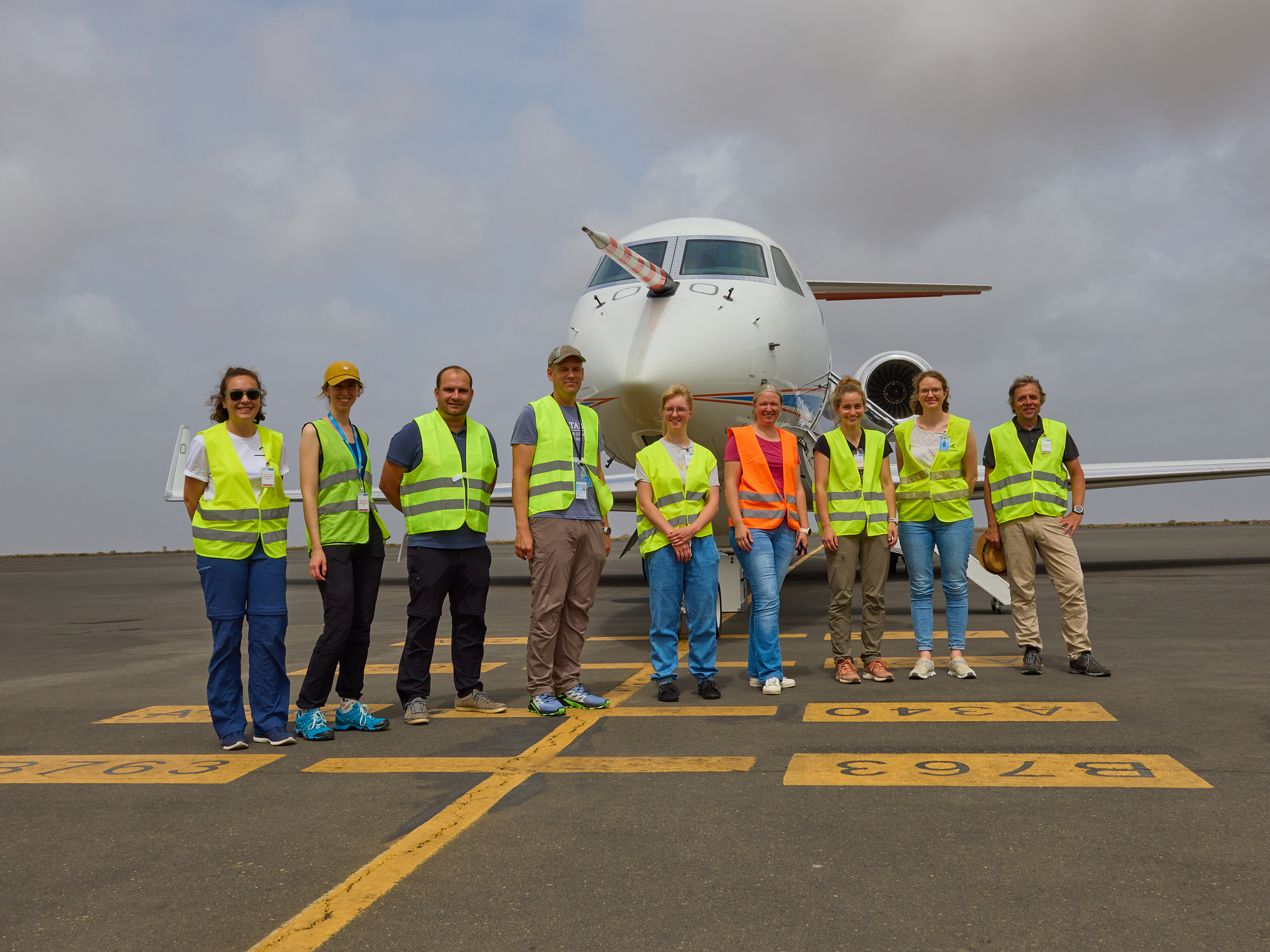
The HALO crew ready to take off! (Photo by B. Mayer)
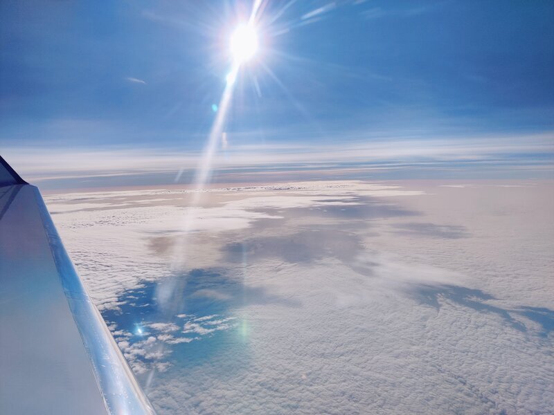
Clouds from HALO (Photo by H. Gloeckner)
CLARINET-01#
by Henriette Gebauer
CLARINET is ready for the campaign start and to provide reference measurements from our stationary ground-based ACTRIS station at the OSCM at Mindelo. Already during the last two weeks, colleagues from TROPOS carried out maintenance at the instruments. Last week, we had the first crew change. For the duration of the campaign, the station will be permanently manned with two scientists from TROPOS to ensure the availability of the measurements and to fix problems immediately. Reaching this goal keeps us busy and we had to face already some shock moments when we woke up in the morning and recognized that the instruments did not measure during night due to power blackouts or internet breakdowns in the city.
Fortunately, our instruments were working well when a great dust plume arrived just on time for the start of the campaign. Saharan dust up to heights of 6 km provided good conditions for the first research flight of the MAESTRO campaign but prohibited to see their aircraft passing over Mindelo, for which we had a look from our station at the roof top of the institute.
Like many of the ORCESTRA people we are also eagerly awaiting the arrival of the container ship, which should bring us our new radar. Unfortunately, it cannot be set up anymore in time for this campaign. In the meantime, while everyone is waiting and all the instruments are doing well, from time to time, we welcome visitors from the other sub-campaigns at the OSCM to show them around and we also visited the Meteor as long as it is still in the harbour.
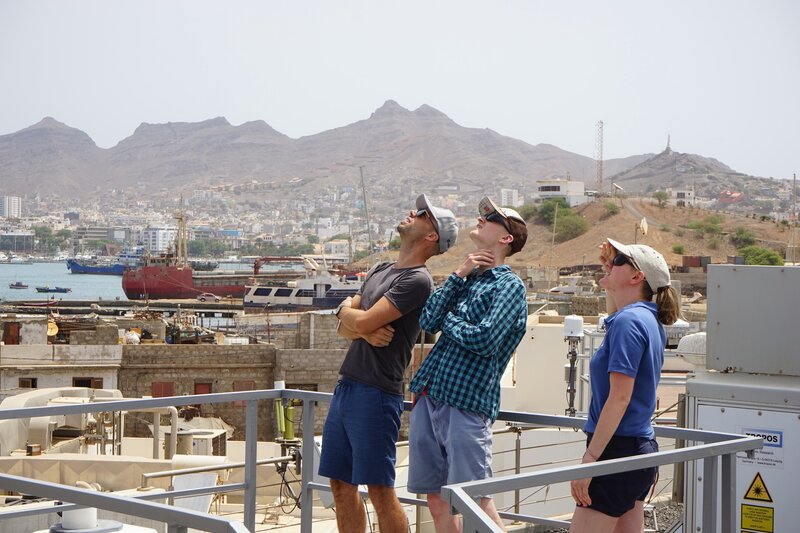
Fig. 18 Trying to spot the SAFIRE ATR during their OSCM overflight in the hazy sky today over Mindelo#
#T0#
ORCESTRA is happening!
Truthfully, the campaign started weeks ago, if you count the prep work. People have been here for a few days already, settling in, preparing and planning flights or installing instruments. Still, it is good to announce an official starting day for the orientation. Originally, today was chosen as the day when the RV METEOR would depart and all three aircraft would have arrived. But things turned out differently for various reasons, as mentioned in the previous posts.
During our first general meeting, Bjorn emphasised that despite the different scientific objectives and their potential challenges, the campaign integrates the efforts and minds of all, and so coming together is crucial as it will help to complete the puzzle of understanding the behaviour of the wider tropics, especially the ITCZ, as the Earth warms.
There was a significant change for BOWTIE, PICCOLO and STRINQS as the scientific crew were transferred to RV METEOR and spent their first night on RV METEOR - their home at sea for the next seven weeks as the missing containers hopefully arrive within the next two days. On a more positive note, some of the long-awaited airfreight shipments have arrived, slowly completing the collection of instruments.
A first attempt at repairing the liquid nitrogen generator needed to calibrate the HAMP radiometer was made earlier, and looked promising.
And the ATR made its first research flight, passing the OSCM and the RV METEOR in Mindelo. Unfortunately, the research vessel is not allowed to switch on its instrument in the harbour, so no data comparison for this day. But there will be a few more opportunities for coordinated passes to capture the vertical structure of the atmosphere from the sea surface to the stratosphere.

Fig. 19 All sub-campaign logos under the roof of ORCESTRA.#
#T-1#
One day until ORCESTRA
Being so used to the long, late and bright summer nights of northern Germany, I was amazed at how dark it was when I landed last night at 7pm - although it’s no surprise. On my taxi ride to the hotel in the dark, I could only guess how vast and desolate the landscape seemed. This was proven true on my visit to the Instituto Nacional de Meteorologia e Geofisica (INMG), which is located near the airport, somewhere in the middle of nowhere.
Sal reminds me a little of a dented frying pan - the few towns on Sal are on the coast, while in the centre of the island you get roasted, as there is no shade, just sand, rocks and dried shrubs. At the INMG we were warmly welcomed and given a tour of the grounds. The institute consists of three buildings, with the offices, meeting rooms and forecasting centre in the left building and the storage and laboratory on the right. Here, a group from MAESTRO are preparing everything for the launch of the radio sondes. The first launch will take place tonight! MAESTRO has finally cleared customs and is ready to make its first research flight tomorrow.
Some exciting news: HALO has landed and everything went well. On the less positive side: PERCUSION is still struggling with customs and has only got one of three containers out. Work on the instruments will be limited over the next few days. The hope is to get the other containers out of customs on Monday.
Speaking of hiccups: The liquid nitrogen generator was not handled carefully during transport, causing some damage. Troubleshooting will follow tomorrow. Fingers crossed!
And that’s all for now. I’m going for a quick swim before the sun sets and it’s time for dinner…
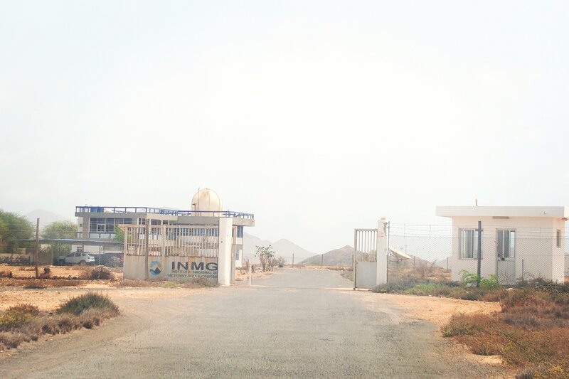
Instituto Nacional de Meteorologia e Geofisica (INMG).
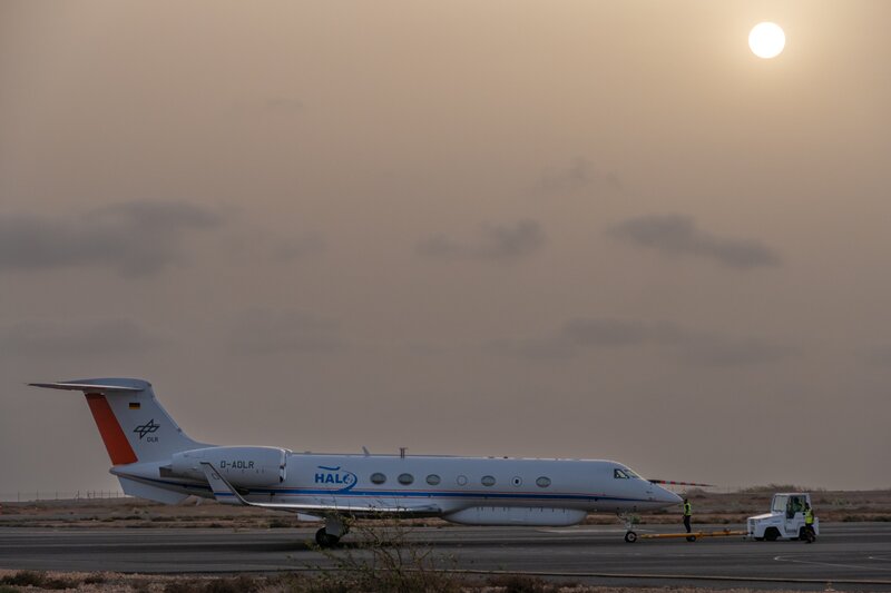
HALO on ground (Photo by A.Minikin)
#T−2#
Two days until ORCESTRA
After standing once more on the RV METEOR this morning, breathing the sea air in Mindelo Bay and watching the hustle and bustle in the harbor as the scientists began their work and one part of the ship crew leaving, I am now continuing my journey to Sal. Currently, I am writing these words in the waiting hall at the airport in Praia, looking out over the nearly empty airfield, except for two stairways leading to nowhere and some transport vehicles. One can see the deep blue ocean behind the runway. The air above ground flickers in the distance, as it does when it’s really hot outside. While waiting, I am checking my mails and catching up with some news.
ATR has landed today! They departed yesterday from Toulouse with a stopover in the Canaries. MAESTRO will proceed as planned and practice their typical „MAESTRO flight pattern“ for the first mission on the 10th.
CELLO also managed to overcome the issues with their instrument, which they discovered during a test flight a few days ago. Luckily, the issues were solved in the blink of an eye, and after another test flight, the instruments worked well. INCAS King Air is on its way shall arrive on Praia on the 10th. The crew will follow the day after.
The plan has arrived and boarding is about to start. More on Sal!
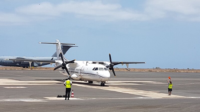
Fig. 20 ATR-42 has arrived in Sal! (Photo by S.Bony)#
#T−3#
Three days until ORCESTRA
RV METEOR has arrived! On the rooftop of the hotel I was staying at, one could see how the blue-white-orange colored ship had arrived in the morning. Later in the afternoon, I went to the harbor for a closer look. SEA-POL was stationed and assembled at the far corner of the harbor. The radar itself, nicknamed ‚Murmel‘ (mumble) by the RV METEOR crew, was carefully placed on a truck and slowly maneuvered through the labyrinth of containers.
The research vessel is impressive, equipped with so many instruments and appliances that I can’t even begin to describe them all. After the containers, which arrived on time, were transported to the ship, they were lifted on board with the most precise crane operation I’ve ever seen. Finally, the first scientists and technicians could start their work. Even I got to do some hands-on work, helping in install the disdrometer above the sixth superstructure deck. But enough of words… photos convey more then words can describe. So here they are!
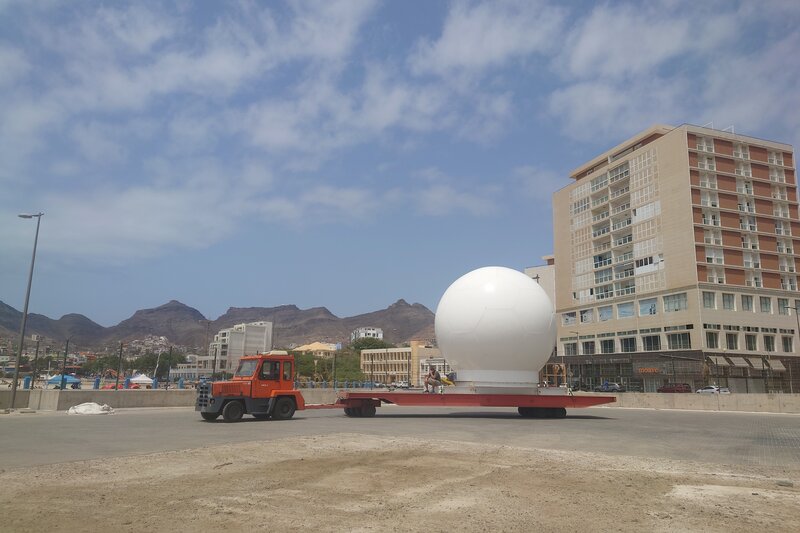
Transport of SEA-POL to RV METEOR…
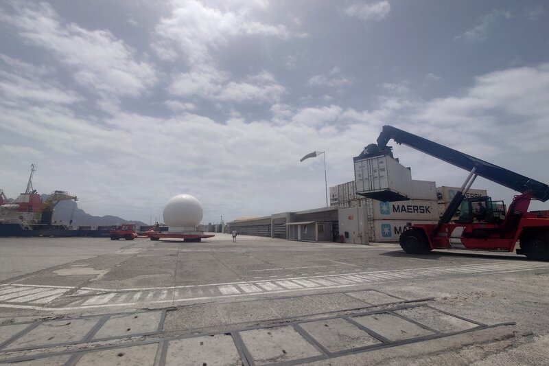
… and followed by a container.
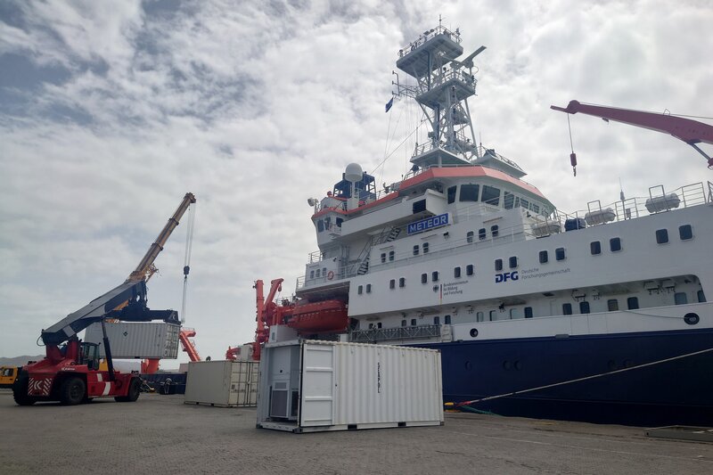
Container are lifted on the RV Meteor.
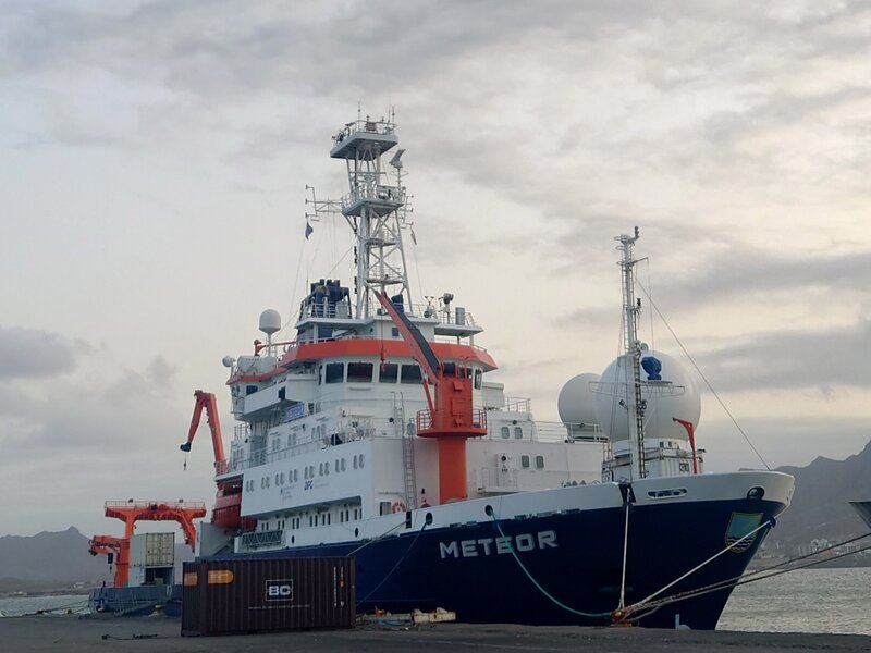
RV Meteor. Can you find the installed disdrometer?
#T−4#
Four days until ORCESTRA
Today I went to the Ocean Science Center Mindelo (OSCM) to visit CLARINET. OSCM is a joint initiative between the German GEOMAR and the Instituto do Mar of Cape Verde focused on long-term observations and international collaboration.
The center is located on the east side of Mindelo Bay, slightly hidden behind residential buildings. The large hall is decorated with artistic ocean impressions. The TROPOS colleagues have their own laboratory and operate an impressive array of instruments on the roof. Passing by the numerous solar panels at the top, the instruments have an incredible view to the harbor and ocean. Tommy (Wind lidar) and Polly (Raman lidar) are accompanied by a Microwave radiometer (HATPRO), a Sunphotometer, a Cloud radar and radiation measurements — some dusted with salty sea spray and saharan sand. They are closely collaborating with the Cape Verdean Atmospheric Observatory (CVAO), managed by the Instituto Nacional de Meteorologia e Geofisica (INMG) of Cape Verde on the hill behind the hills where they are responsible of in-situ measurements.
A newly built large platform next to the family of instruments is waiting to host a bigger cloud radar, which is still on the ship with the other containers for RV METEOR somewhere between Las Palmas and the Cape Verde Islands. There is still no sight of the ship and the missing containers., but they are on their way at a relaxed speed of 10 knots per hours. While scientists and technicians here are conserving their energy, ready to spring into action the moment the containers arrive. Some have taken a day off and headed to the fishermans village at São Pedro to snorkel with turtles out in the sea.
Gradually, more and more people are arriving, though fewer than expected as the flight schedule is tight and some have missed their flights. Let’s hope that RV METEOR won’t face any delays and will arrive safely tomorrow morning.
A cool sea breeze is blowing into the bay. I’m stepping out to grab some dinner. The sky is already dark and slightly cloudy. Only the electrical lights illuminate the streets, buildings, and the harbor. Maybe I’ll catch a glimpse of Polly, shining green through the sky on the east side of the bay.
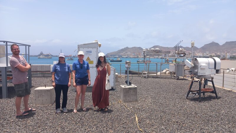
Fig. 21 On the rooftop of OSCM with some TROPOS colleagues and the instrument family.#
#T−5#
Five days until ORCESTRA
Today I landed in Mindelo, Sao Vicente, Cape Verde. It was a small airport - only two planes on the air field. The landscape is hilly, very brown, a few bushes along the way, but the ocean turquoise and very clear. „Reminds me of Dune, the movie. Do you know it?“, said one colleague from the MPI of chemistry, who also landed with the same plane today. Yes, this place is the closest thing to a desert I’ve ever been to. The air smells slightly like dust and fumes from the vehicles… It is hot and humid. Even the locals suffer, as the temperature today is above several degrees of what they are used too.
Five days until the first research flight. And we are encountering some hiccups. The colleagues from TU Delft arrived with the other plane which landed today. Their instruments haven’t arrived yet — stuck somewhere in air freight. But we have other bits and pieces which did not arrive yet. Several shipments via air freight are stuck somewhere - not being picked up. The way by surface/ over sea is nit much easier it seems. On top, five containers - three with scientific equipment and two with provisions for the research vessel itself - were stuck on Las Palmas until today. Finally, they departed today. The timing is still tight, but they bring food (in addition to lasers) and we likely won’t leave without them. RV METEOR should arrive as planned - but the ship with the remaining containers will do a pitstop on Praia first before coming to Mindelo. It seems like a slight delay of the departure is unavoidable.
On the positive sight, work around SEA-POL progressed smoothly. The US colleagues already arrived a few days ago, eager to built and set-up the huge radar - reminding me of a big (old-fashioned) football… all white. They didn’t seem to be encountered big difficulties and were already getting into detailed work - like fastening over 600 bolts to the panels of the radar dome.
A slight wind breeze coming from the west brings coolness and ocean smell into the harbour. It’s time to end the day with the harbour view on the hotel rooftop and some refreshments…
Fig. 22 Airport in Sao Vicente, Cape Verde.#
Kick-off#
Kick-off ORCESTRA with a dry run#
In eight sessions over the first weeks of 2024 a bunch of scientists across Europe and the United States met virtually. Atmospheric people faced oceanographic people, familiar faces greeted new faces, a new community was kicked-off: The ORCESTRA community.
ORCESTRA - short for Organized Convection and EarthCare Studies over the Tropical Atlantic - is the superordinate field campaign taking place over and across the Atlantic Ocean in August and September 2024. With currently two planes and one ship, measurements and analysis are undertaken to advance the understanding of tropical meteorology, atmospheric processes and air-sea interaction. Moreover, ORCESTRA contributes with an additional plane to the calibration and validation of satellite remote sensing, especially EarthCARE which shall be launched in May 2024.
Under the roof of ORCESTRA, seven sub-campaigns, three in the air, one on land and three at sea, will come together to enhance the science of tropical mesoscale convective systems (MCS), including the interaction of MCS with tropical waves and air-sea interaction, and the impact of MCS on climate and the Earth’s radiation budget and processes of tropical cyclogenesis. ORCESTRA built up on the GATE campaign, the Global Atmospheric Research Program’s Atlantic Tropical Experiment, which happened 50 years earlier in the exact same area and did investigate the effects of smaller-scale tropical weather systems, such as cloud clusters, on larger scale motions.
During the dry run, questions regarding how to do science within technical constraints, how to adapt along the orbit of a satellite and how to coordinate across platforms were tackled. First flight patterns were simulated based on past data and satellite images, the ship track was tuned and useful data tools and data scripts were shared.
We not only had insights into objectives of individual sub campaigns, likewise, did we learn about tools like AERIS, TOOCAN, MISVA, GOES and pyorcestra which will support us while preparing and operating the campaign.
Luckily, some doubts about coordinating across platforms were cleared up and the operation of ORCESTRA is becoming more real.
The dry run warmed us up and we are set with eagerness and enthusiasm for take-off!
Fig. 23 Group photo.#