HALO-20240831a#
ec_under ec_track c_north c_mid c_south c_atrCrew#
Silke Groß, Julia Windmiller, Lutz Hirsch, Theresa Mieslinger, Sophie Rosenburg, Anna Volkmer, Elina Plesca, Julia WindmillerTrack#
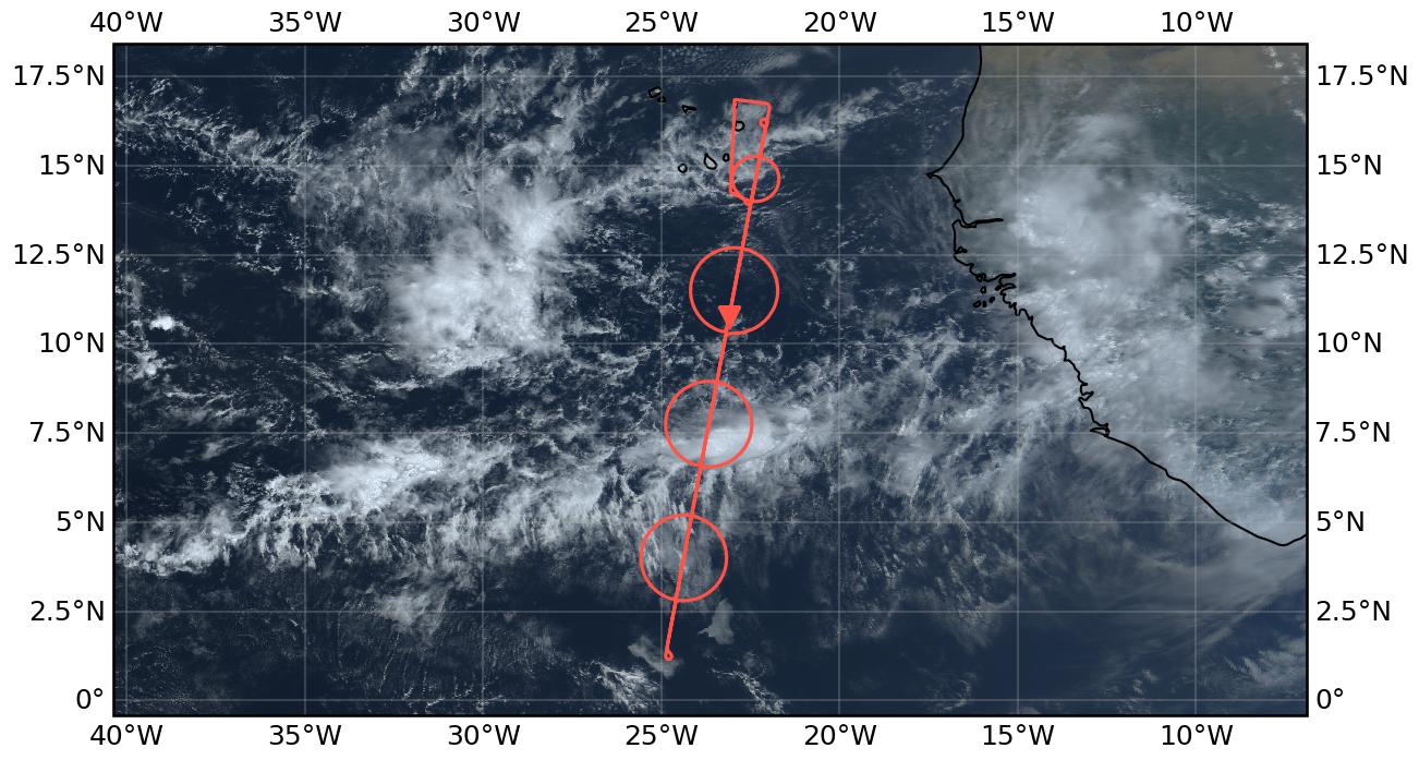
Flight path superimposed on the natural color image from NOAA’s Geostationary Operational Environmental Satellites (GOES) 16 satellite on August 31, 2024 at 15:20 UTC. The location of the aircraft at the time of the satellite image is highlighted.
Conditions#
Week and narrow ITCZ was observed with extended cirrus layer in the north of the ITCZ
In the northern part of the flight track a Saharan dust layers was detected above marine aerosols, but the dust layer showed less optical thickness than during major Saharan dust events. During the first part of the flight cirrus clouds were at flight level or just above. The southern part of the flight and the southern circle were almost cloud free with thin aerosol layers up to about 5 km altitude. The measurements indicated that those aerosol layers consisted most probably of a mixture of different aerosol types. Some convection was found in the middle layer. Cirrus clouds were present at flight altitude or just below. During the northern circle, cirrus clouds were still present. Below, still dust above marine aerosol could be observed.
Execution#
The flight started almost as planned at 7:50 UTC with a long leg towards the southern point, following the EarthCARE track. At the southern point we turned, returned on track for the southern circle, that could be adapted during the flight to fit the latest forecast. We flew the middle circle as planned, matching perfectly with the convective part of the ITCZ. After flying the northern circle with a small adaption to the latest forecast, we already descended to FL350 to avoid the cirrus clouds at or just below higher flight levels. We met EarthCARE just after the northern exit of the ITCZ in Saharan dust impacted region and continued on the EarthCARE track for a coordinated tandem flight with ATR, guided by King Air. Both aircrafts flew a profile below the HALO flight track to perform in-situ measurement of aerosols and clouds. We turned north of the common flight leg, coordinated again and flew circle around ATR. On the way back to Sal we performed a radar calibration maneuver and landed at 16:40 UTC.
Impressions#
Very narrow ITCZ but extended cirrus cloud cover at or just below flight altitude (FL430). The observed dust layer was less optical thick than during flights before.
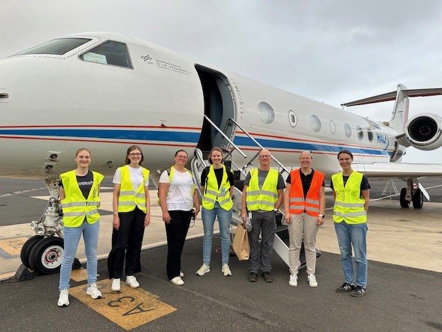
Scientific Crew

In the north
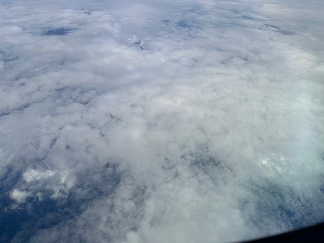
Middle circle right window
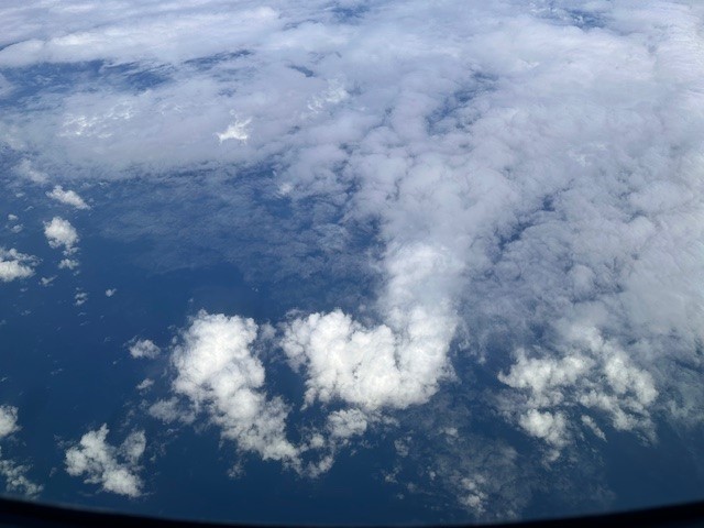
Middle circle left window
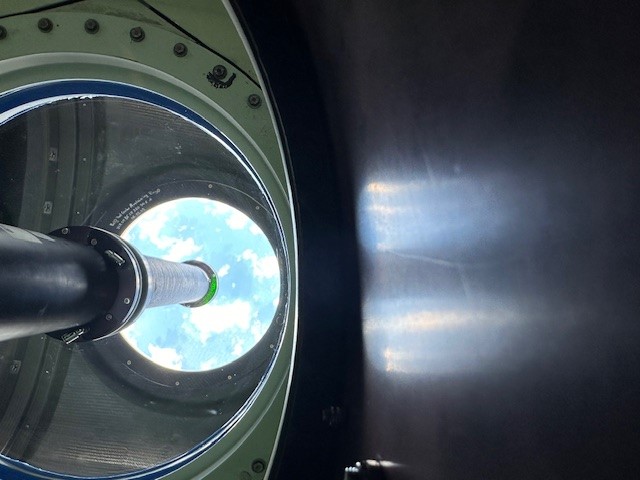
Down there is METEOR
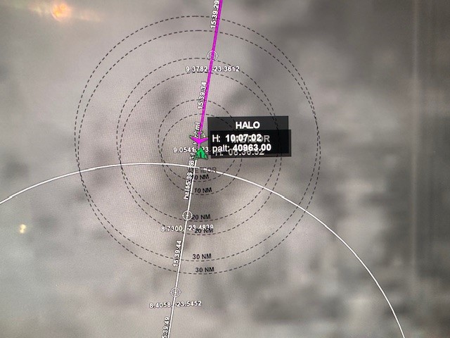
Match point METEOR
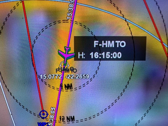
Perfect match ATR
Instrument status & quicklooks#
Instrument |
Operational |
Comment |
|---|---|---|
BACARDI |
✅ |
no entry |
BAHAMAS |
✅ |
Some issues |
Dropsondes |
✅ |
no entry |
HAMP |
✅ |
no entry |
PI-Camera |
✅ |
no entry |
Smart |
✅ |
None, fully functional |
SpecMACS |
✅ |
Fully functional. |
VELOX |
✅ |
no entry |
WALES |
✅ |
no entry |
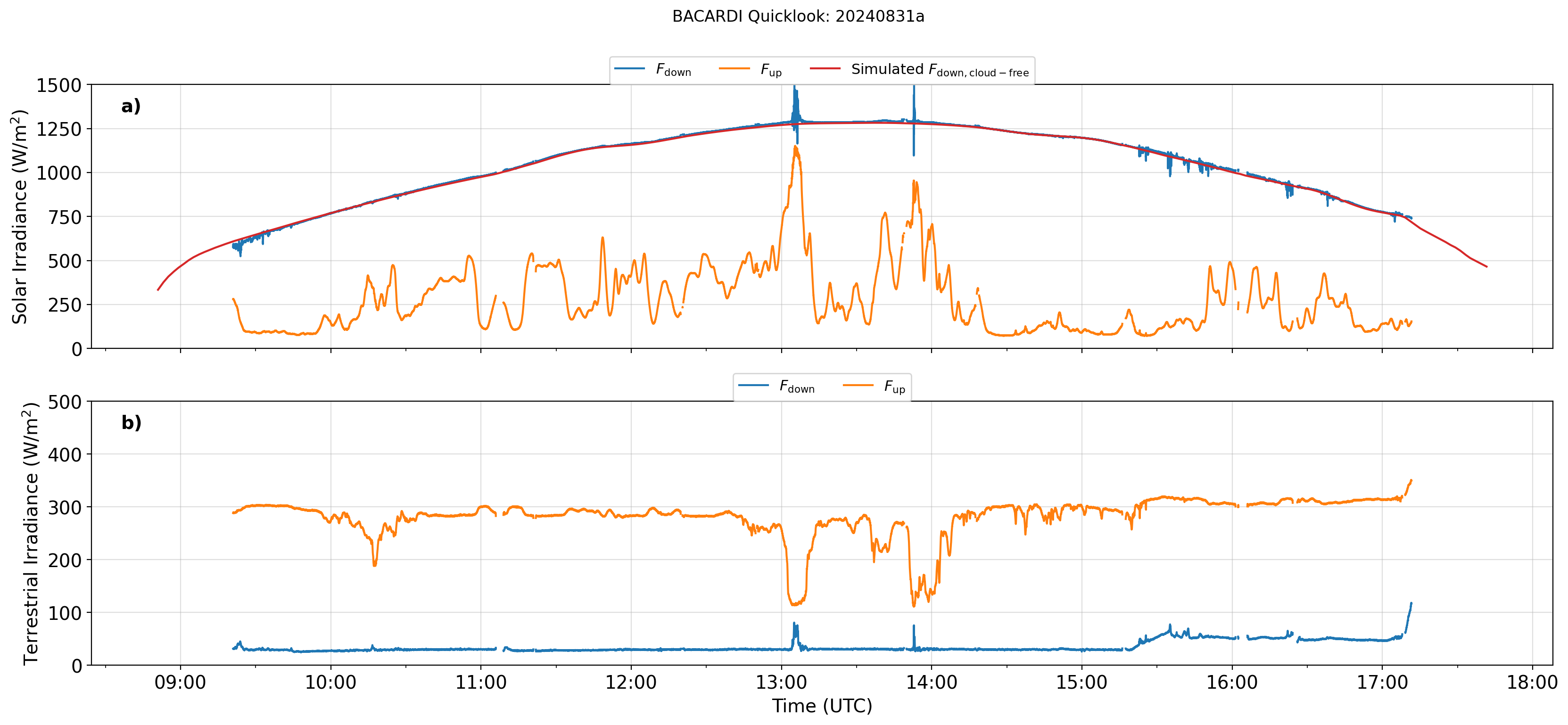
BACARDI
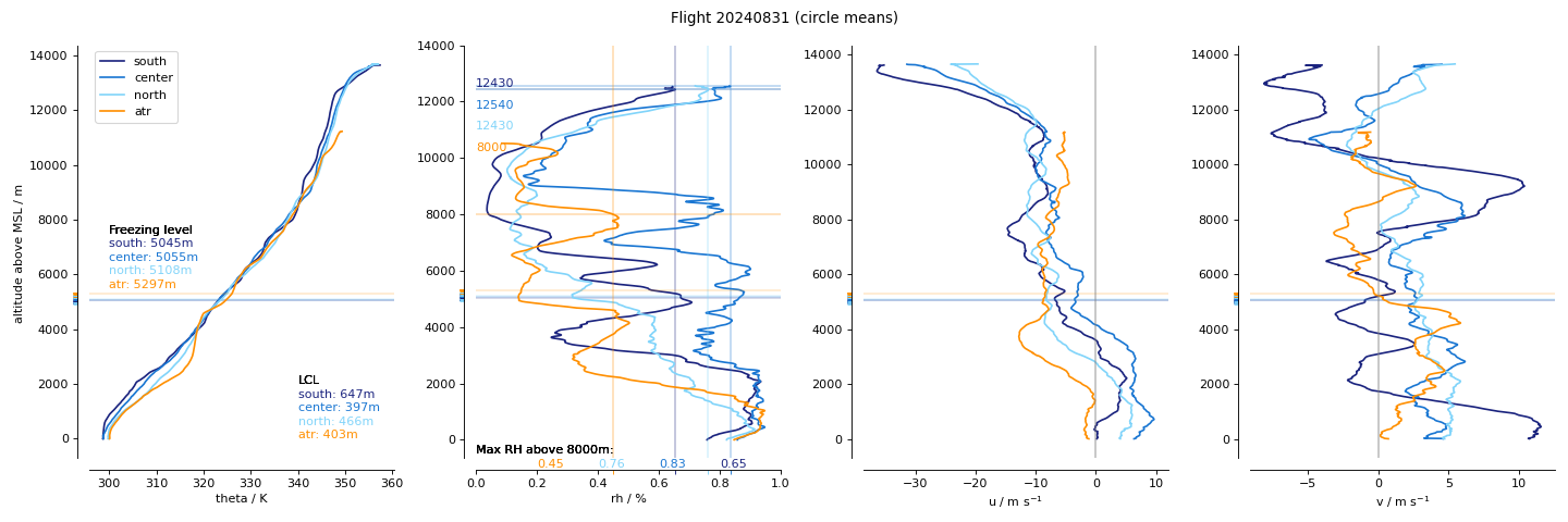
Dropsondes
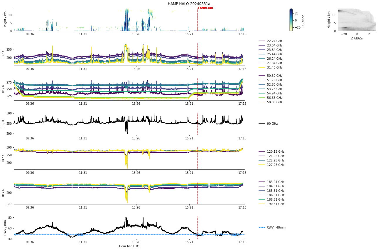
HAMP
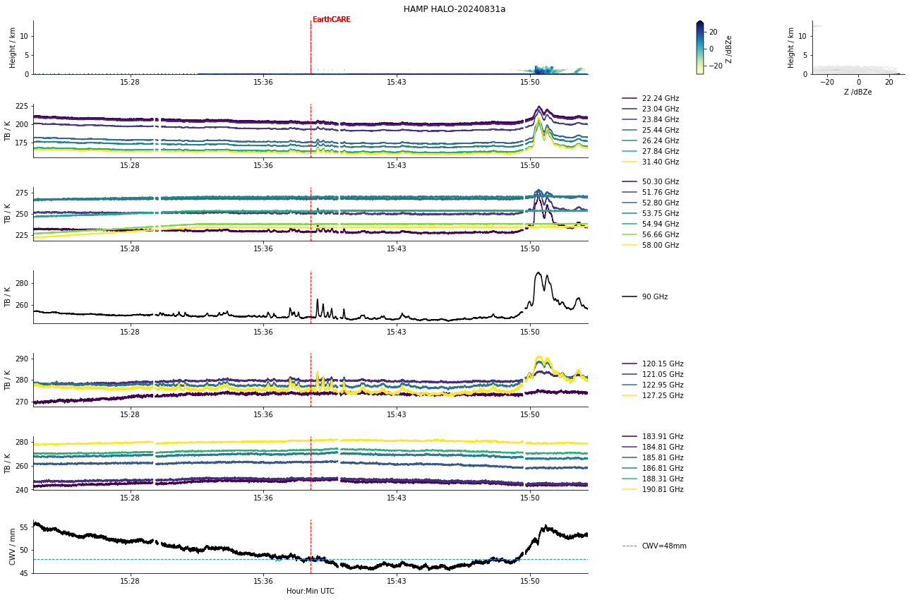
HAMP during EarthCARE underpass
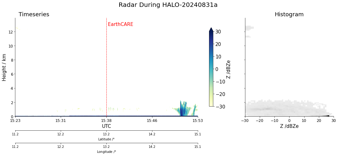
Radar during EarthCARE underpass
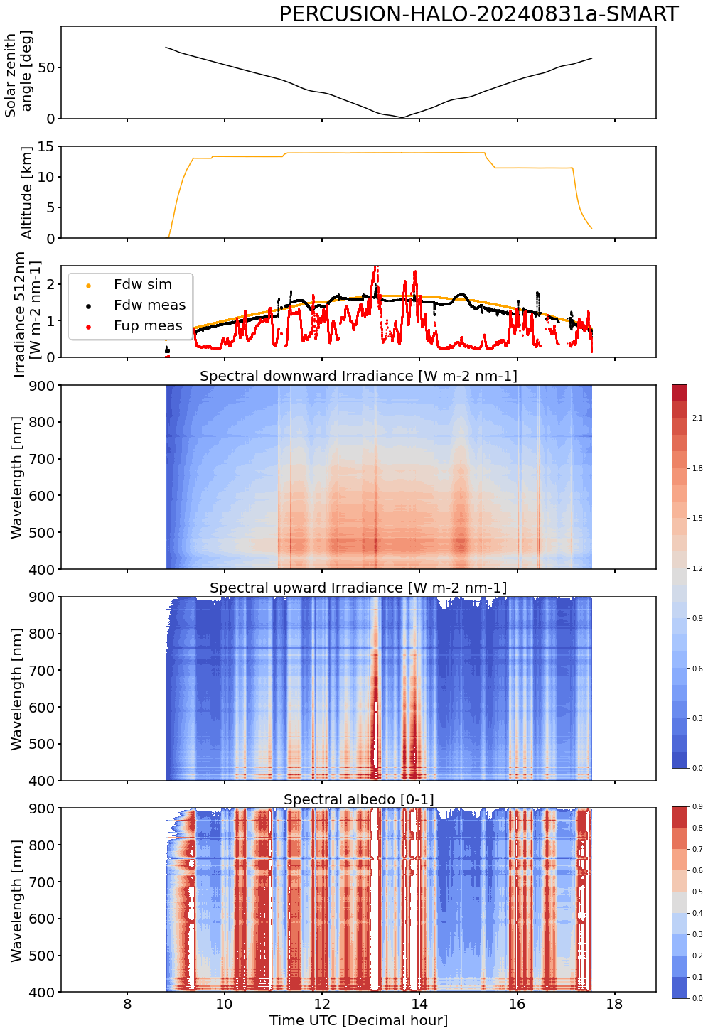
SMART Time series of upward and downward spectral irradiadiance, and albedo.

VELOX broadband channel with EC underpass
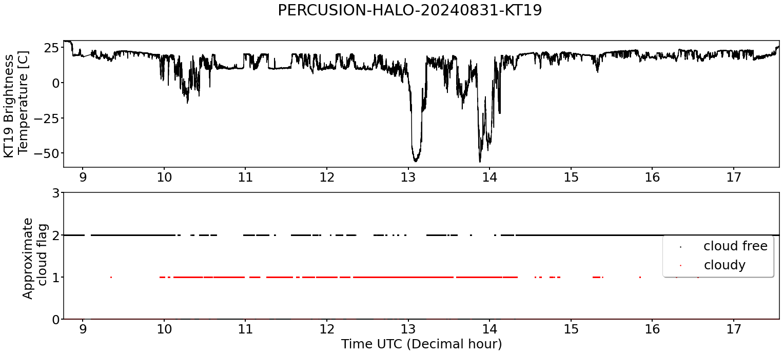
KT19 Timeseries of brigthness temperature.
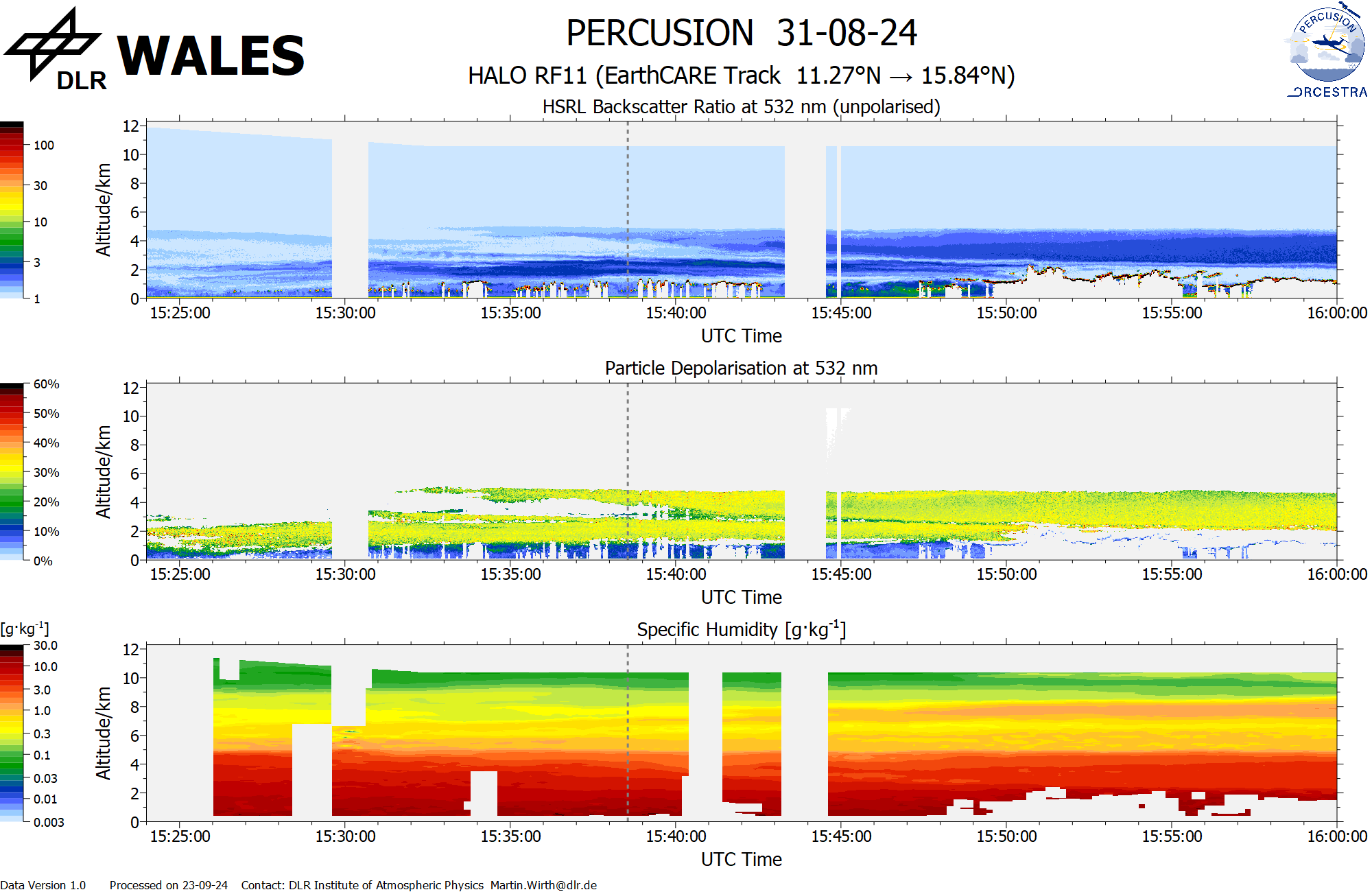
WALES (backscatter, polarization and humidity) at EC overpass
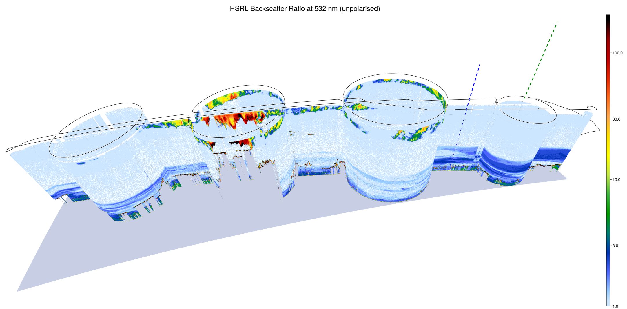
WALES (3D backscatter)
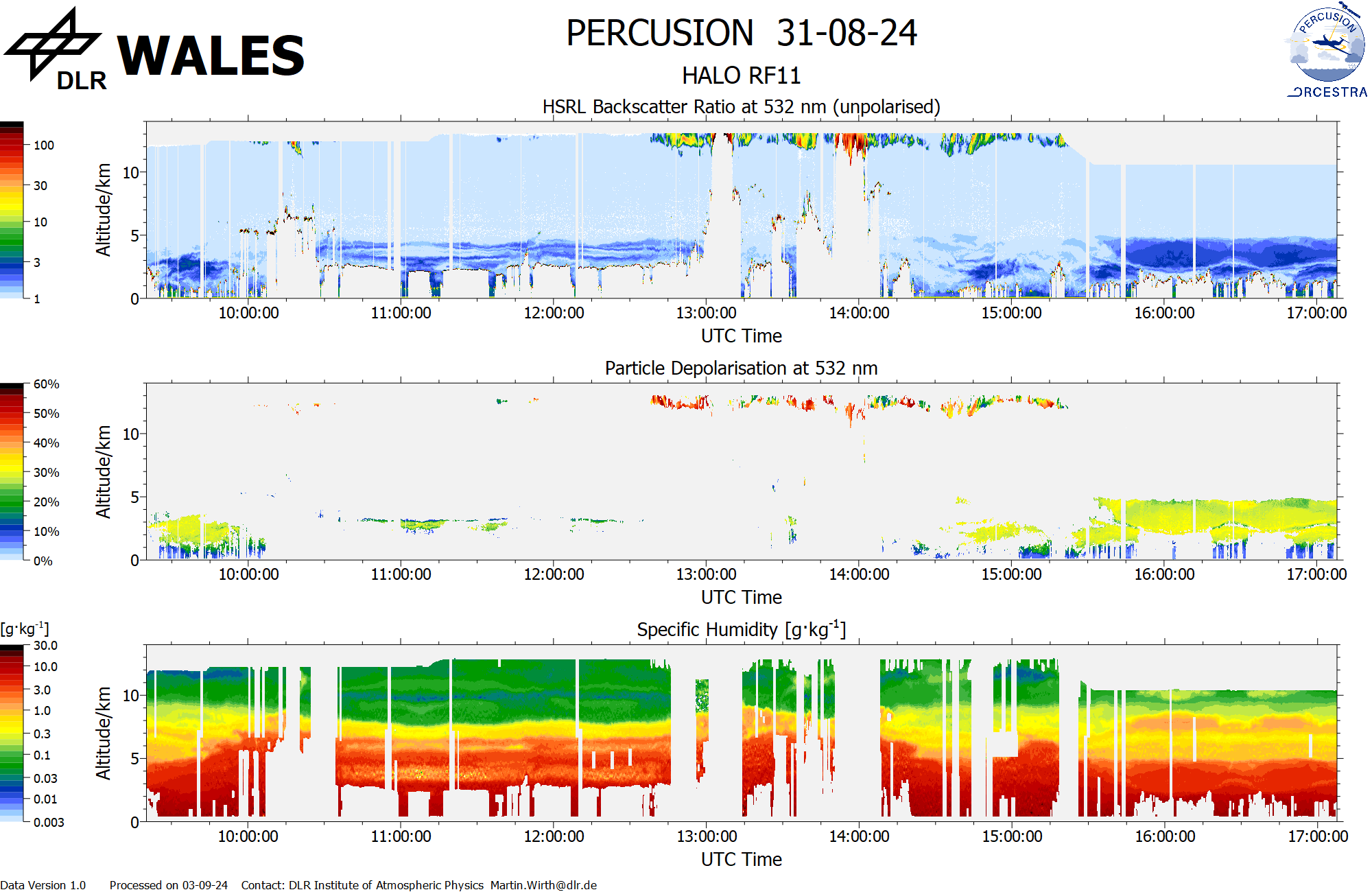
WALES (cross section)
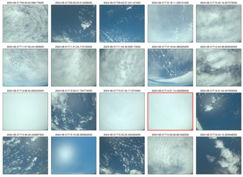 specMACS RGB snapshots from polb (lower right) with EarthCARE underpass marked in red. Find further quicklooks here.