

Flight plan - ATR-20240903a#
c_atrFlight plan#
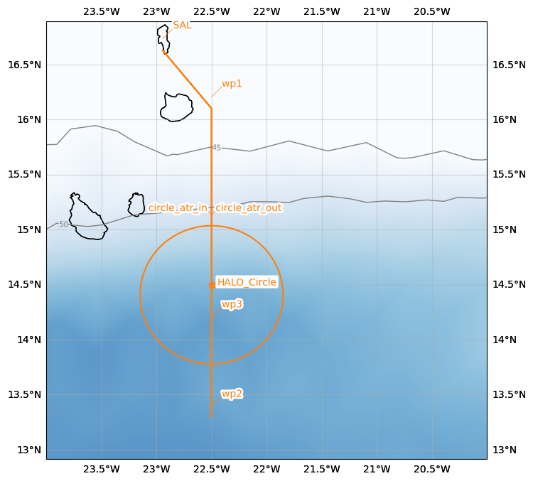
The flight is planned to take off at 2024-09-03 15:00:00+00:00 UTC and land at 2024-09-03 18:30:00+00:00 UTC.
Flight track has coordination with HALO.
Two options possible
1: Standard MAESTRO flight pattern from WP1 to WP2 with takeoff at 15:00 UTC
2: ‘Millefeuille’ flight pattern (lower-troposphere only, multiple levels) to better sample shallow convection from WP1 to WP3 with takeoff at 18 UTC.
Slight change in ATR circle location has been requested
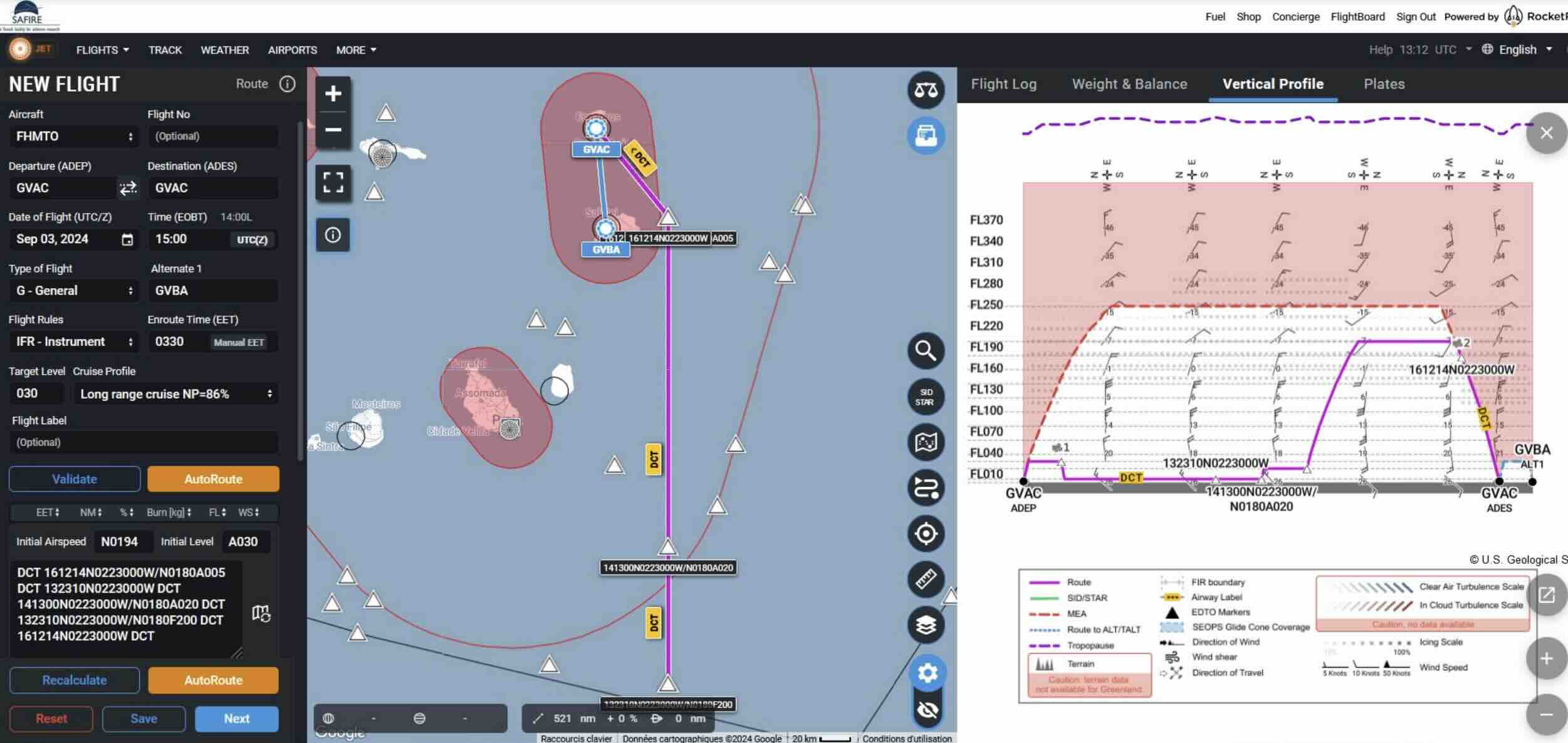
SAFIRE Flight Plan submitted to Air Traffic Control (ATC)
 –>
–>
| lat | lon | fl | time | note | |
|---|---|---|---|---|---|
| label | |||||
| SAL | 16.734488 | -22.943974 | 0.0 | None | None |
| wp1 | 16.204000 | -22.500000 | NaN | None | None |
| wp2 | 13.386000 | -22.500000 | NaN | None | None |
| wp3 | 14.200000 | -22.500000 | NaN | None | None |
| wp1 | 16.204000 | -22.500000 | NaN | None | None |
| SAL | 16.734488 | -22.943974 | 0.0 | None | None |
| circle_atr | 14.500000 | -22.500000 | NaN | None | None |
Crew#
Job |
Name |
|---|---|
Pilot |
G Seurat |
Pilot |
D Duchanoy |
Mechanics |
M André |
Expé Principal |
C Lainard |
Expé |
G Cayez |
PI |
Louis Jaffeux |
LNG |
S Bounissou |
aWALI |
L Forges |
Microphys 1 |
P Coutris |
Microphys 2 |
A Schwarzenboeck |
RASTA |
E Francois |
BASTA |
F Couvreux |