

Flight plan - ATR-20240815a#
sar_underFlight plan#
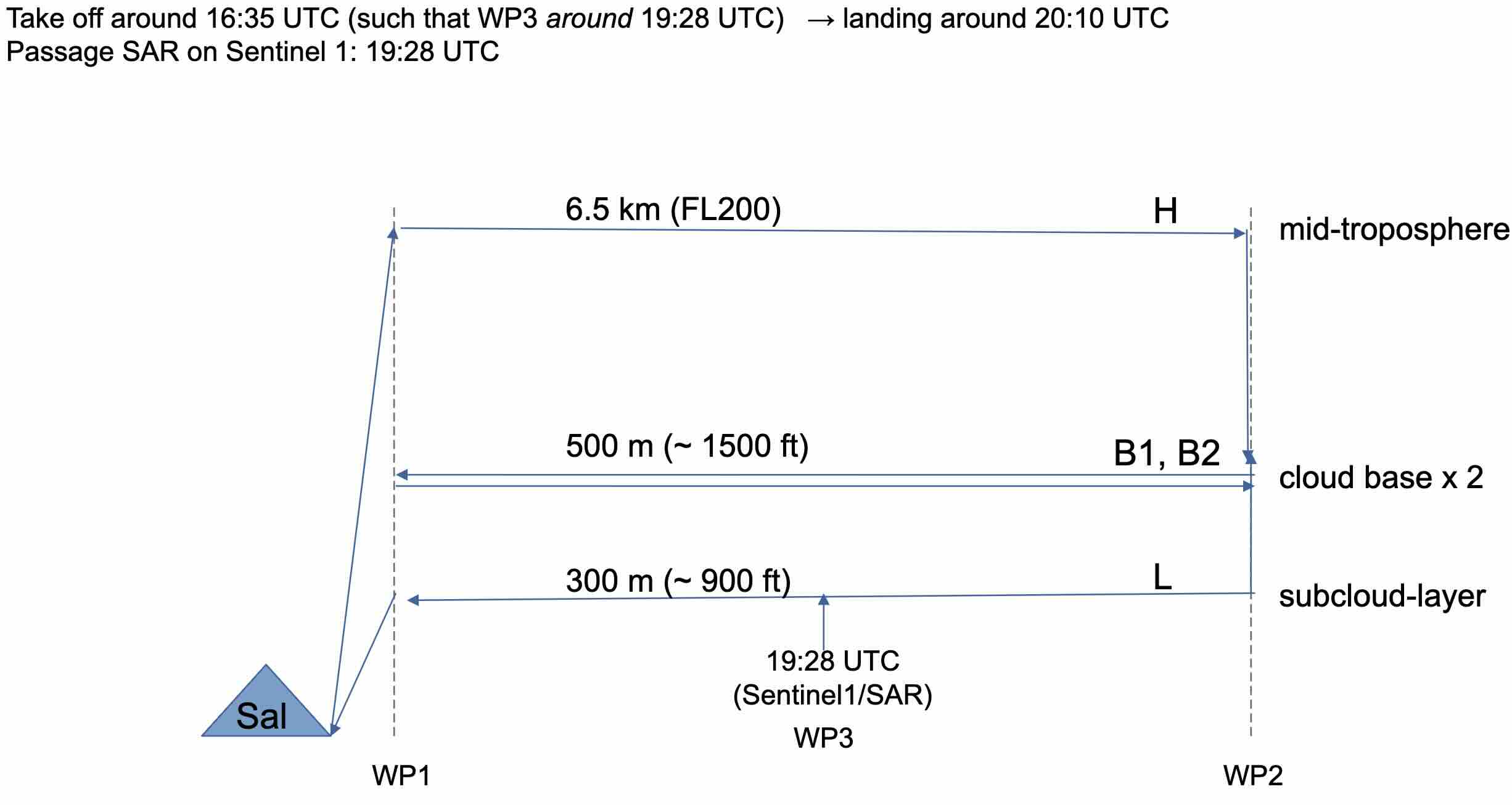
The flight is planned to take off at 2024-08-15 16:15:00+00:00 UTC and land at 2024-08-15 19:45:00+00:00 UTC.
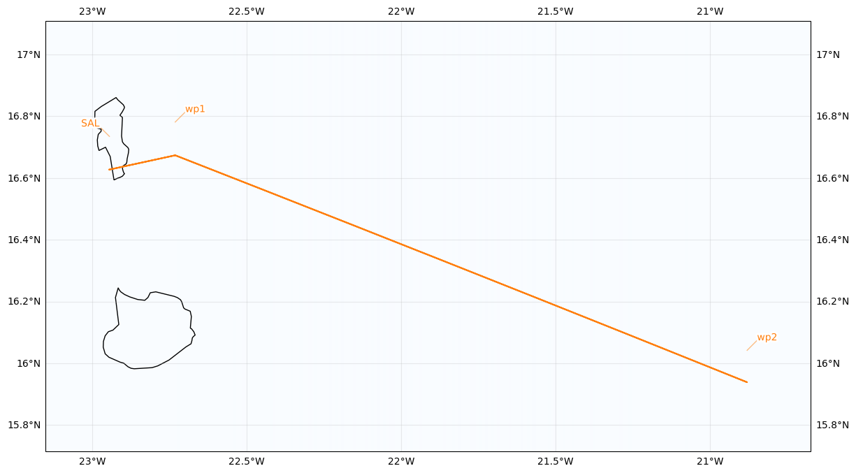
SAL to WP1
WP1 to WP2 at FL200
WP2 to WP1 to WP2 at cloud base
WP2 to WP1 in boundary layer
WP1 to SAL
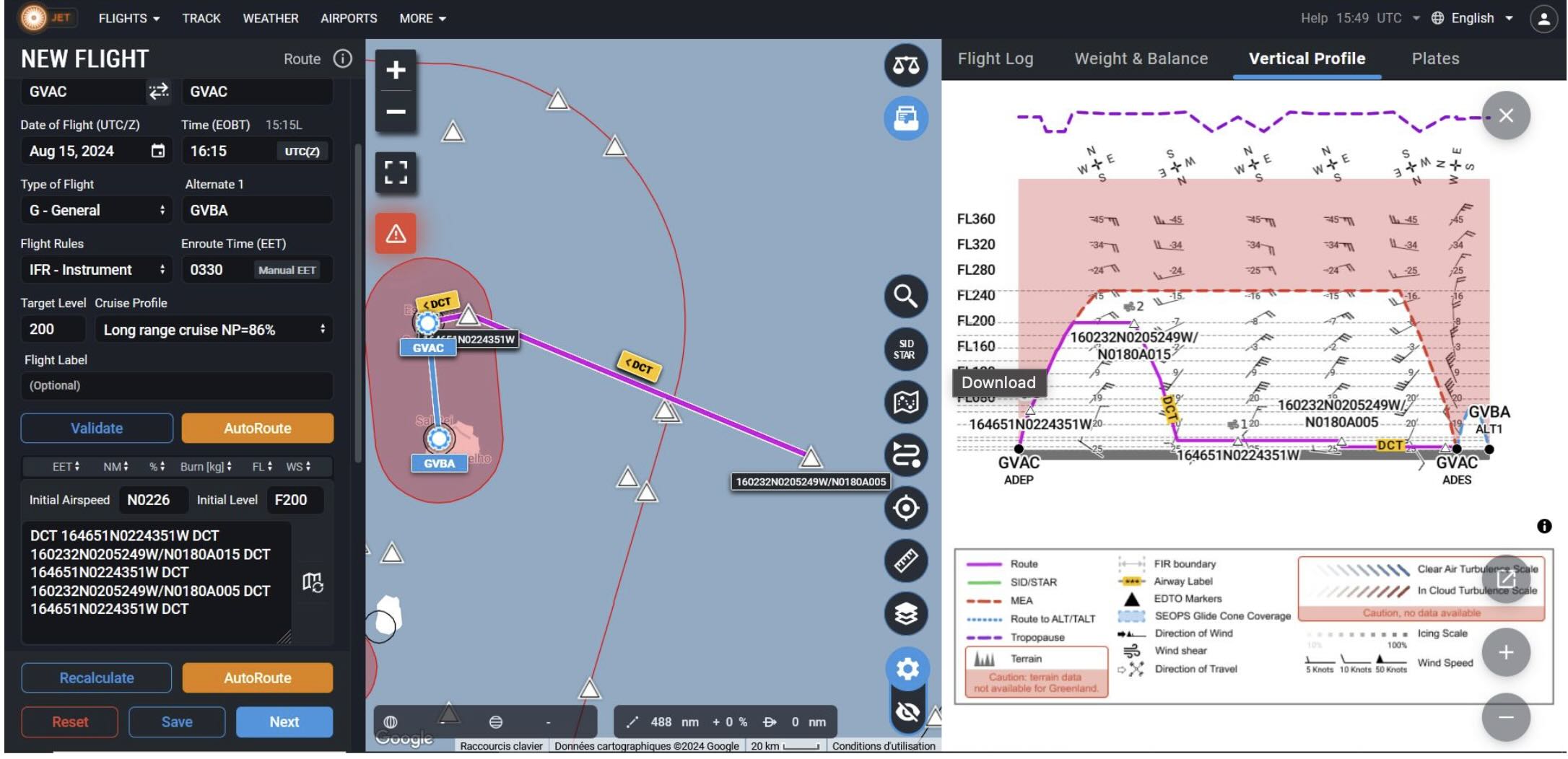
SAFIRE Flight Plan submitted to Air Traffic Control (ATC)
| lat | lon | fl | time | note | |
|---|---|---|---|---|---|
| label | |||||
| SAL | 16.734488 | -22.943974 | 0.0 | None | None |
| wp1 | 16.781000 | -22.731000 | NaN | None | None |
| wp2 | 16.042000 | -20.880000 | NaN | None | None |
| wp1 | 16.781000 | -22.731000 | NaN | None | None |
| SAL | 16.734488 | -22.943974 | 0.0 | None | None |
Crew#
Job |
Name |
|---|---|
Pilot |
JF Bourdinot |
Pilot |
G Suerat |
Mechanics |
M André |
Expé Principal |
C De Saint Leger |
Expé |
T Jiang |
PI |
Louis Jaffeux |
LNG |
Emmeline François |
aWALI |
Patrick Chazette |
Microphys 1 |
Antoine Baudoux |
Microphys 2 |
Thierry Latchimy |
RASTA |
Julien Delanoë |
BASTA |
Kévin Huet |